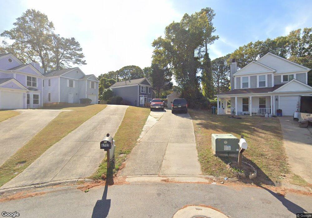
6702 Buckingham Ct Unit 1 Norcross, GA 30093
Estimated Value: $290,000 - $341,000
3
Beds
2
Baths
1,360
Sq Ft
$233/Sq Ft
Est. Value
About This Home
This home is located at 6702 Buckingham Ct Unit 1, Norcross, GA 30093 and is currently estimated at $317,099, approximately $233 per square foot. 6702 Buckingham Ct Unit 1 is a home located in Gwinnett County with nearby schools including Graves Elementary School, Louise Radloff Middle School, and Meadowcreek High School.
Ownership History
Date
Name
Owned For
Owner Type
Purchase Details
Closed on
Aug 10, 2000
Sold by
Almendarez Manuel
Bought by
Almendarez Manuel
Current Estimated Value
Home Financials for this Owner
Home Financials are based on the most recent Mortgage that was taken out on this home.
Original Mortgage
$110,650
Outstanding Balance
$38,869
Interest Rate
8.17%
Mortgage Type
FHA
Estimated Equity
$278,230
Create a Home Valuation Report for This Property
The Home Valuation Report is an in-depth analysis detailing your home's value as well as a comparison with similar homes in the area
Home Values in the Area
Average Home Value in this Area
Purchase History
| Date | Buyer | Sale Price | Title Company |
|---|---|---|---|
| Almendarez Manuel | -- | -- | |
| Almendarez Manuel | $111,500 | -- |
Source: Public Records
Mortgage History
| Date | Status | Borrower | Loan Amount |
|---|---|---|---|
| Open | Almendarez Manuel | $110,650 |
Source: Public Records
Tax History Compared to Growth
Tax History
| Year | Tax Paid | Tax Assessment Tax Assessment Total Assessment is a certain percentage of the fair market value that is determined by local assessors to be the total taxable value of land and additions on the property. | Land | Improvement |
|---|---|---|---|---|
| 2025 | $4,149 | $108,320 | $21,120 | $87,200 |
| 2024 | $2,989 | $102,720 | $21,120 | $81,600 |
| 2023 | $2,989 | $106,520 | $22,000 | $84,520 |
| 2022 | $2,492 | $81,640 | $14,000 | $67,640 |
| 2021 | $2,153 | $63,960 | $14,000 | $49,960 |
| 2020 | $2,166 | $63,960 | $14,000 | $49,960 |
| 2019 | $1,989 | $58,400 | $11,200 | $47,200 |
| 2018 | $1,791 | $49,560 | $11,200 | $38,360 |
| 2016 | $1,651 | $44,880 | $8,800 | $36,080 |
| 2015 | $1,190 | $31,400 | $6,800 | $24,600 |
| 2014 | -- | $31,400 | $6,800 | $24,600 |
Source: Public Records
Map
Nearby Homes
- 6711 Colchester Place
- 6715 Colchester Place
- 6668 E Windsor Ln
- 6630 Witherington Ct Unit 601
- 6716 Colchester Place
- 6636 Witherington Ct NW
- 6636 Witherington Ct
- 6718 Colchester Place Unit 205
- 6658 Witherington Ct NW
- 6622 Wellington Square
- 6606 Wellington Square
- 6734 Graves Mill Dr
- 6875 Graves Mill Ct
- 1797 Brookside Lay Cir
- 1371 Dogwood Ln
- 805 Olde Mill Ln
- 3957 Hancock Cir
- 1382 Branch Dr
- 1763 Brookside Lay Cir
- 3539 Mount Vernon Cir
- 6696 Buckingham Ct Unit 1
- 6690 Buckingham Ct Unit 1
- 6708 Buckingham Ct Unit 1
- 6684 Buckingham Ct
- 1570 Esquire Place
- 1574 Esquire Place Unit 1
- 1578 Esquire Place Unit 1
- 6678 Buckingham Ct
- 6697 Buckingham Ct Unit 1
- 1566 Esquire Place Unit 1
- 1582 Esquire Place Unit 1
- 6693 Colchester Place
- 6691 Colchester Place
- 6695 Colchester Place
- 6695 Colchester Place Unit 6695
- 6692 Colchester Place
- 1586 Esquire Place Unit 1
- 6672 Buckingham Ct Unit 1
- 6697 Colchester Place
- 6694 Colchester Place Unit 6694