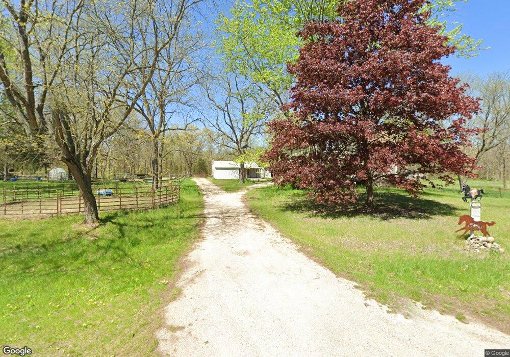
6702 Lindsey Rd Delton, MI 49046
Estimated Value: $226,000 - $254,000
3
Beds
1
Bath
2,092
Sq Ft
$114/Sq Ft
Est. Value
About This Home
This home is located at 6702 Lindsey Rd, Delton, MI 49046 and is currently estimated at $238,620, approximately $114 per square foot. 6702 Lindsey Rd is a home located in Barry County with nearby schools including Delton Kellogg Elementary School, Delton-Kellogg Middle School, and Delton-Kellogg High School.
Ownership History
Date
Name
Owned For
Owner Type
Purchase Details
Closed on
Nov 5, 2020
Sold by
Reynolds Dwain C and Reynolds Vivian J
Bought by
Reynolds Vivian and Reynolds Dwain
Current Estimated Value
Purchase Details
Closed on
Dec 20, 2010
Sold by
Reynolds Dwain
Bought by
Reynolds Dwain and Reynolds Dwain
Purchase Details
Closed on
Aug 11, 2010
Sold by
The United States Of America
Bought by
Reynolds Dwain C
Purchase Details
Closed on
Mar 29, 2007
Sold by
Drake John M and Drake Angelina M
Bought by
The United States Of America and United States Department Of Agriculture
Purchase Details
Closed on
Jul 25, 1996
Bought by
Reynolds Dwain C
Create a Home Valuation Report for This Property
The Home Valuation Report is an in-depth analysis detailing your home's value as well as a comparison with similar homes in the area
Home Values in the Area
Average Home Value in this Area
Purchase History
| Date | Buyer | Sale Price | Title Company |
|---|---|---|---|
| Reynolds Vivian | -- | None Available | |
| Reynolds Dwain | -- | None Available | |
| Reynolds Dwain C | $29,750 | Met Fat | |
| The United States Of America | $46,900 | None Available | |
| Reynolds Dwain C | $76,000 | -- |
Source: Public Records
Tax History Compared to Growth
Tax History
| Year | Tax Paid | Tax Assessment Tax Assessment Total Assessment is a certain percentage of the fair market value that is determined by local assessors to be the total taxable value of land and additions on the property. | Land | Improvement |
|---|---|---|---|---|
| 2025 | $910 | $72,900 | $0 | $0 |
| 2024 | $1,224 | $66,200 | $0 | $0 |
| 2023 | $401 | $48,600 | $0 | $0 |
| 2022 | $401 | $48,600 | $0 | $0 |
| 2021 | $401 | $48,100 | $0 | $0 |
| 2020 | $829 | $42,800 | $0 | $0 |
| 2019 | $829 | $41,500 | $0 | $0 |
| 2018 | $773 | $38,000 | $15,200 | $22,800 |
| 2017 | $773 | $38,000 | $0 | $0 |
| 2016 | -- | $36,900 | $0 | $0 |
| 2015 | -- | $32,300 | $0 | $0 |
| 2014 | -- | $32,300 | $0 | $0 |
Source: Public Records
Map
Nearby Homes
- 6432 Marsh Rd
- 11463 Snowshoe Dr
- 6626 Dennison Rd
- 5882 Mullen Ridge Dr
- 11633 Marsh Rd
- 9308 W Guernsey Lake Rd
- 11908 Erica Ln Unit Site 66
- 11811 Marsh Rd Unit 10
- VL Cory Dr
- 8494 Marsh Rd
- 11982 Erica Ln Unit 39
- 4618 Circle Inn Dr
- 4304 Trails End Rd
- 4327 Harmony Dr
- 6048 Stewart Woods Dr
- 2055 2nd St
- 9700 Lindsey Rd
- V/L W Guernsey Lake Rd
- 3298 Elmwood Beach Rd
- 2919 Beatrice Ave
- 6644 Lindsey Rd
- 6720 Lindsey Rd
- 6632 Lindsey Rd
- 6645 Lindsey Rd
- 6717 Lindsey Rd
- 6526 Lindsey Rd
- 6711 Lindsey Rd
- 6577 Lindsey Rd
- 6524 Lindsey Rd
- 6565 Lindsey Rd
- 6545 Lindsey Rd
- 6522 Lindsey Rd
- 6491 Lindsey Rd
- 6542 Lindsey Rd
- 6470 Lindsey Rd
- 6473 Lindsey Rd
- 6443 Lindsey Rd
- 6467 Lindsey Rd
- 7028 Lindsey Rd
- 11224 Ronald Ln