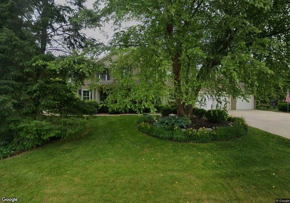
6702 Oleander Ln Portage, MI 49024
Estimated Value: $699,000 - $927,000
5
Beds
5
Baths
3,399
Sq Ft
$249/Sq Ft
Est. Value
About This Home
This home is located at 6702 Oleander Ln, Portage, MI 49024 and is currently estimated at $845,843, approximately $248 per square foot. 6702 Oleander Ln is a home located in Kalamazoo County with nearby schools including Amberly Elementary School, Portage West Middle School, and Portage Northern High School.
Ownership History
Date
Name
Owned For
Owner Type
Purchase Details
Closed on
Nov 5, 2005
Sold by
Kirshman William S and Kirshman Cornelia M
Bought by
Randall Robert A and Randall Patricia M
Current Estimated Value
Home Financials for this Owner
Home Financials are based on the most recent Mortgage that was taken out on this home.
Original Mortgage
$250,000
Interest Rate
6.13%
Mortgage Type
Balloon
Purchase Details
Closed on
Sep 5, 2002
Sold by
Glas Associates Designers/Builders Llc
Bought by
Kirshman William S and Kirshman Cornelia M
Home Financials for this Owner
Home Financials are based on the most recent Mortgage that was taken out on this home.
Original Mortgage
$427,000
Interest Rate
6.4%
Create a Home Valuation Report for This Property
The Home Valuation Report is an in-depth analysis detailing your home's value as well as a comparison with similar homes in the area
Home Values in the Area
Average Home Value in this Area
Purchase History
| Date | Buyer | Sale Price | Title Company |
|---|---|---|---|
| Randall Robert A | $870,000 | Metropolitan Title | |
| Kirshman William S | -- | Chicago Title |
Source: Public Records
Mortgage History
| Date | Status | Borrower | Loan Amount |
|---|---|---|---|
| Closed | Randall Robert A | $250,000 | |
| Previous Owner | Kirshman William S | $427,000 |
Source: Public Records
Tax History Compared to Growth
Tax History
| Year | Tax Paid | Tax Assessment Tax Assessment Total Assessment is a certain percentage of the fair market value that is determined by local assessors to be the total taxable value of land and additions on the property. | Land | Improvement |
|---|---|---|---|---|
| 2025 | $13,960 | $434,100 | $0 | $0 |
| 2024 | $12,290 | $363,100 | $0 | $0 |
| 2023 | $11,715 | $324,700 | $0 | $0 |
| 2022 | $12,658 | $316,800 | $0 | $0 |
| 2021 | $12,234 | $300,500 | $0 | $0 |
| 2020 | $11,968 | $318,500 | $0 | $0 |
| 2019 | $1,078 | $308,800 | $0 | $0 |
| 2018 | $0 | $301,100 | $0 | $0 |
| 2017 | $0 | $305,600 | $0 | $0 |
| 2016 | -- | $301,400 | $0 | $0 |
| 2015 | -- | $285,200 | $0 | $0 |
| 2014 | -- | $262,300 | $0 | $0 |
Source: Public Records
Map
Nearby Homes
- 6645 Oleander Ln
- 6876 Towhee St
- 3318 Davcliff Ave
- 3638 Bellflower Dr
- 3522 Bellflower Dr
- 6576 Isabelle St
- 6605 Rothbury St
- 3737 Bellflower Dr
- 6427 Pepperidge Cir
- 6740 Amberly St
- 3034 Tattersall Rd
- 6421 Cullys Trail
- 3320 Scots Pine Way Unit 2
- 4030 Hollow Wood Dr
- 2801 Daventry Ave
- 6380 McGillicuddy Ln
- 7236 Hampstead Ln Unit 18
- 6290 Liteolier St
- 4280 Romence Rd
- 6170 Baywood Dr
- 6697 Bunchberry Dr
- 6684 Oleander Ln
- 6719 Oleander Ln
- 6755 Oleander Ln
- 6714 Bunchberry Dr
- 6740 Oleander Ln
- 6618 Oleander Ln
- 6697 Oleander Ln
- 6650 Oleander Ln
- 6669 Bunchberry Dr
- 6694 Bunchberry Dr
- 6754 Oleander Ln
- 6775 Oleander Ln
- 3526 Davcliff Ave
- 6677 Oleander Ln
- 6600 Oleander Ln
- 3558 Davcliff Ave
- 6768 Oleander Ln
- 3488 Davcliff Ave
- 6795 Oleander Ln