6702 State Highway Dd Branson West, MO 65737
Estimated Value: $484,659 - $679,000
5
Beds
3
Baths
4,107
Sq Ft
$145/Sq Ft
Est. Value
About This Home
This home is located at 6702 State Highway Dd, Branson West, MO 65737 and is currently estimated at $593,665, approximately $144 per square foot. 6702 State Highway Dd is a home located in Stone County with nearby schools including Reeds Spring Primary School, Reeds Spring Elementary School, and Reeds Spring Middle School.
Ownership History
Date
Name
Owned For
Owner Type
Purchase Details
Closed on
Aug 22, 2016
Sold by
Reeves Lois Marilyn and Reeves Lois Marilyn
Bought by
Schrunk John P and Schrunk Sarah A
Current Estimated Value
Home Financials for this Owner
Home Financials are based on the most recent Mortgage that was taken out on this home.
Original Mortgage
$320,000
Outstanding Balance
$254,047
Interest Rate
3.41%
Mortgage Type
New Conventional
Estimated Equity
$339,618
Create a Home Valuation Report for This Property
The Home Valuation Report is an in-depth analysis detailing your home's value as well as a comparison with similar homes in the area
Home Values in the Area
Average Home Value in this Area
Purchase History
| Date | Buyer | Sale Price | Title Company |
|---|---|---|---|
| Schrunk John P | -- | Great American Title | |
| Schrunk John P | -- | Great American Title |
Source: Public Records
Mortgage History
| Date | Status | Borrower | Loan Amount |
|---|---|---|---|
| Open | Schrunk John P | $320,000 |
Source: Public Records
Tax History Compared to Growth
Tax History
| Year | Tax Paid | Tax Assessment Tax Assessment Total Assessment is a certain percentage of the fair market value that is determined by local assessors to be the total taxable value of land and additions on the property. | Land | Improvement |
|---|---|---|---|---|
| 2025 | $1,399 | $28,570 | -- | -- |
| 2024 | $1,397 | $28,570 | -- | -- |
| 2023 | $1,397 | $28,570 | $0 | $0 |
| 2022 | $1,390 | $28,570 | $0 | $0 |
| 2021 | $1,407 | $28,570 | $0 | $0 |
| 2020 | $1,239 | $28,570 | $0 | $0 |
| 2019 | $1,232 | $28,570 | $0 | $0 |
| 2018 | $1,233 | $28,570 | $0 | $0 |
| 2017 | $1,168 | $27,090 | $0 | $0 |
| 2016 | $1,136 | $27,090 | $0 | $0 |
| 2015 | $1,138 | $27,090 | $0 | $0 |
| 2014 | $1,117 | $27,050 | $0 | $0 |
| 2012 | -- | $27,050 | $0 | $0 |
Source: Public Records
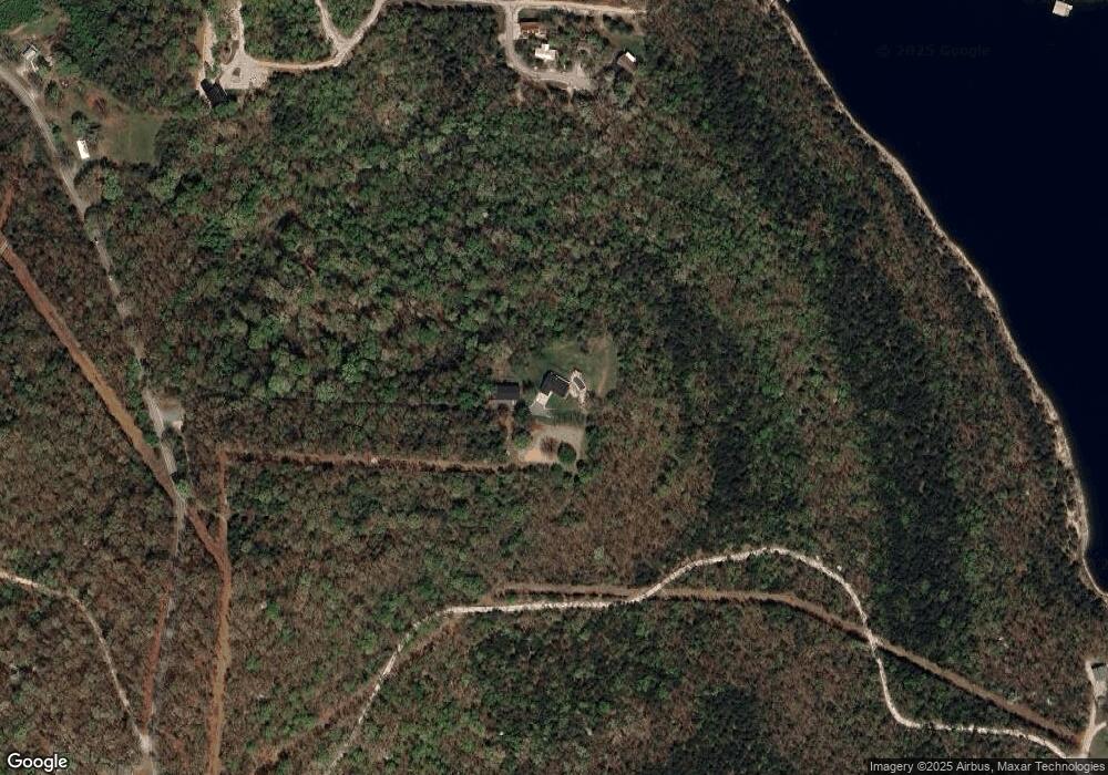
Map
Nearby Homes
- Tbd Cool Creek Rd
- 64 Ridgemont Cir
- Lot 63a Ridgemont Cir
- 125 Ridgemont Cir
- 000 Lovers Ln
- 280 Millwood Dr
- 89 Ridgemont Cir
- 55 Lovers Ln
- 207 Bar M Ln Unit 20-23
- 207 Bar M Ln Unit 25
- 207 Bar M Ln Unit 26
- 207 Bar M Ln Unit 24
- 207 Bar M Ln Unit 22
- 207 Bar M Ln Unit 24, 25, 26
- 207 Bar M Ln Unit 1
- 207 Bar M Ln Unit 20
- 207 Bar M Ln Unit 21
- 1101 Lake Bluff Dr
- 404 Millwood Dr
- 127 Trails End St
- 6702 State Hwy Dd
- 59 Turnridge Cir
- 53 Turnridge Cir
- Lot 239 Turnridge Cir
- 67 Turnridge Dr
- 67 Turnridge Dr
- 54 Turnridge Dr
- 58 Turnridge Dr
- 000 Cedar Island Rd
- 000 Lot 249a Cedar Island
- 149 Crestridge Cir
- 227 Crestridge Cir
- 226 Crestridge Cir
- 312 Rockbrook Rd
- Lot 226 Crestridge Cir
- Lot 227 Crestridge Cir
- 572 Jami Ln
- 000 Rockbrook Rd
- Lot 253 Rockbrook Rd
- 6903 State Highway Dd