6703 E State Highway Yy Springfield, MO 65802
Southeast Springfield NeighborhoodEstimated Value: $405,994 - $638,000
3
Beds
3
Baths
2,472
Sq Ft
$205/Sq Ft
Est. Value
About This Home
This home is located at 6703 E State Highway Yy, Springfield, MO 65802 and is currently estimated at $505,998, approximately $204 per square foot. 6703 E State Highway Yy is a home with nearby schools including Strafford Elementary School, Strafford Middle School, and Strafford High School.
Ownership History
Date
Name
Owned For
Owner Type
Purchase Details
Closed on
Jul 30, 2013
Sold by
Eubanks Jean Ann and Eubanks James Gregory
Bought by
Eubanks Keith and Eubanks Robin
Current Estimated Value
Home Financials for this Owner
Home Financials are based on the most recent Mortgage that was taken out on this home.
Original Mortgage
$160,000
Interest Rate
3.93%
Mortgage Type
New Conventional
Create a Home Valuation Report for This Property
The Home Valuation Report is an in-depth analysis detailing your home's value as well as a comparison with similar homes in the area
Home Values in the Area
Average Home Value in this Area
Purchase History
| Date | Buyer | Sale Price | Title Company |
|---|---|---|---|
| Eubanks Keith | -- | None Available |
Source: Public Records
Mortgage History
| Date | Status | Borrower | Loan Amount |
|---|---|---|---|
| Closed | Eubanks Keith | $160,000 |
Source: Public Records
Tax History
| Year | Tax Paid | Tax Assessment Tax Assessment Total Assessment is a certain percentage of the fair market value that is determined by local assessors to be the total taxable value of land and additions on the property. | Land | Improvement |
|---|---|---|---|---|
| 2025 | $1,237 | $23,480 | $8,270 | $15,210 |
| 2024 | $1,150 | $21,070 | $6,370 | $14,700 |
| 2023 | $1,158 | $21,070 | $6,370 | $14,700 |
| 2022 | $1,069 | $20,530 | $6,370 | $14,160 |
| 2021 | $1,006 | $20,530 | $6,370 | $14,160 |
| 2020 | $972 | $19,500 | $6,370 | $13,130 |
| 2019 | $968 | $19,500 | $6,370 | $13,130 |
| 2018 | $869 | $17,380 | $6,380 | $11,000 |
| 2017 | $862 | $17,220 | $6,380 | $10,840 |
| 2016 | $851 | $17,220 | $6,380 | $10,840 |
| 2015 | $850 | $17,220 | $6,380 | $10,840 |
| 2014 | $850 | $0 | $0 | $0 |
Source: Public Records
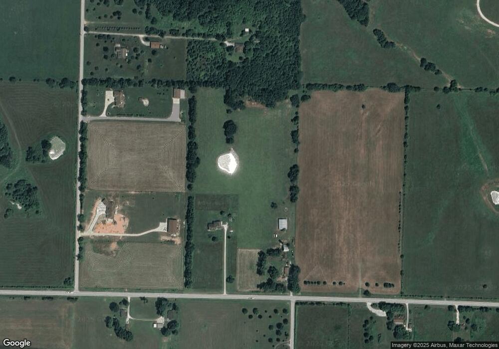
Map
Nearby Homes
- 1858 N State Highway 125
- 7058 E Farm Road 132
- 7291 Robin Ridge Ln
- Tract 3 N Farm Road 211
- 000 E State Highway Yy
- Lot 2 Farm Road 134
- Lot 3 Farm Road 134
- 5677 E Pearson Pkwy
- Lot 6 Farm Road 134
- Lot 13 Farm Road 134
- Lot 8 Farm Road 134
- 2032 N Unbridled Ct
- 2044 N Unbridled Ct
- Lot 11 Farm Road 134
- Lot 12 Farm Road 134
- Lot 7 Farm Road 134
- 5566 E Cavalcade Ln
- 5558 E Cavalcade Ln
- 5546 E Cavalcade Ln
- 5724 E Farm Road 132
- 10 Acres E Division St
- 000 E Division St
- 6659 E Division St
- 1415 N Farm Road 217
- 6580 E State Highway Yy
- 6810 E State Highway Yy
- 6991 E State Highway Yy
- 6542 E Division St
- 6713 E Farm Road 128
- 6849 E Farm Road 128
- 6848 E Farm Road 128
- 6659 E Farm Road 128
- 6677 E Dillard Ln
- 1708 N Farm Road 213
- 6639 E Farm Road 128
- 6774 E Farm Road 128
- 6642 E Dillard Ln
- 1124 N Farm Road 217
- 6866 E Farm Road 128
- 1808 N Farm Road 213
Your Personal Tour Guide
Ask me questions while you tour the home.