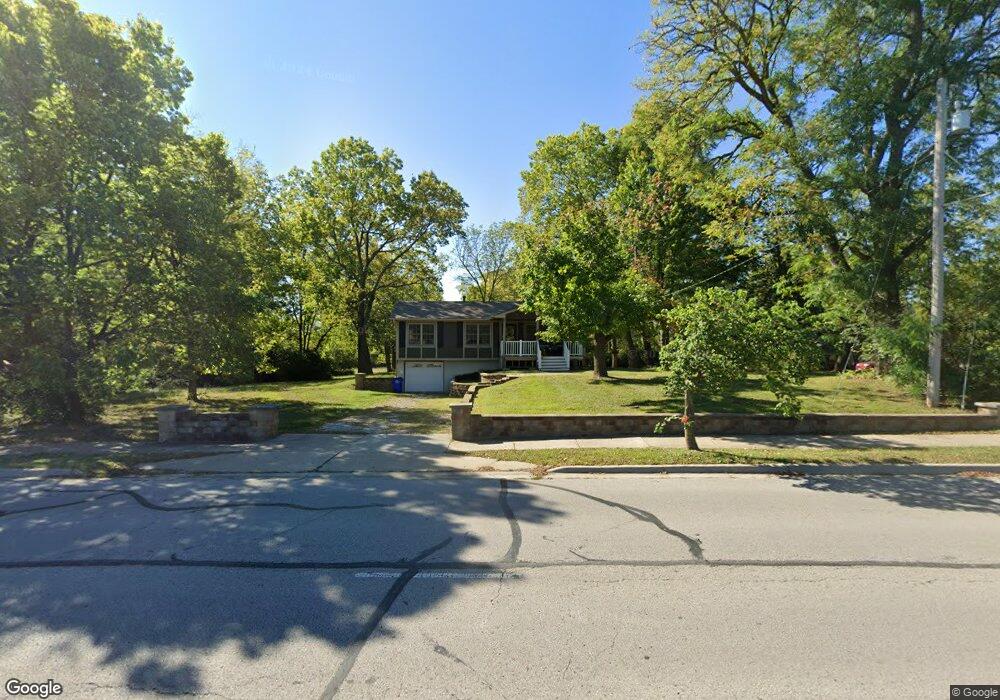
6703 High Grove Rd Grandview, MO 64030
Estimated Value: $189,063 - $223,000
3
Beds
1
Bath
934
Sq Ft
$220/Sq Ft
Est. Value
About This Home
This home is located at 6703 High Grove Rd, Grandview, MO 64030 and is currently estimated at $205,766, approximately $220 per square foot. 6703 High Grove Rd is a home located in Jackson County with nearby schools including Meadowmere Elementary School, Grandview Middle, and Grandview High School.
Ownership History
Date
Name
Owned For
Owner Type
Purchase Details
Closed on
Dec 15, 2025
Sold by
Wilson Patricia A
Bought by
Ggtms 1 Llc
Current Estimated Value
Home Financials for this Owner
Home Financials are based on the most recent Mortgage that was taken out on this home.
Original Mortgage
$169,000
Outstanding Balance
$168,677
Interest Rate
6.22%
Mortgage Type
New Conventional
Estimated Equity
$37,089
Purchase Details
Closed on
Apr 29, 1996
Sold by
Grove William S and Grove Merilee
Bought by
Wilson Monte J and Wilson Patricia A
Purchase Details
Closed on
Apr 23, 1996
Sold by
Tolen Ronald C and Tolen Beth
Bought by
Grove William S and Grove Merilee
Create a Home Valuation Report for This Property
The Home Valuation Report is an in-depth analysis detailing your home's value as well as a comparison with similar homes in the area
Home Values in the Area
Average Home Value in this Area
Purchase History
| Date | Buyer | Sale Price | Title Company |
|---|---|---|---|
| Ggtms 1 Llc | $130,000 | Continental Title Company | |
| Wilson Monte J | -- | Security Land Title Company | |
| Grove William S | -- | Security Land Title Company |
Source: Public Records
Mortgage History
| Date | Status | Borrower | Loan Amount |
|---|---|---|---|
| Open | Ggtms 1 Llc | $169,000 |
Source: Public Records
Tax History
| Year | Tax Paid | Tax Assessment Tax Assessment Total Assessment is a certain percentage of the fair market value that is determined by local assessors to be the total taxable value of land and additions on the property. | Land | Improvement |
|---|---|---|---|---|
| 2025 | $1,974 | $25,629 | $9,542 | $16,087 |
| 2024 | $1,974 | $24,271 | $3,743 | $20,528 |
| 2023 | $1,940 | $24,271 | $4,722 | $19,549 |
| 2022 | $1,664 | $19,380 | $5,280 | $14,100 |
| 2021 | $1,662 | $19,380 | $5,280 | $14,100 |
| 2020 | $1,371 | $16,925 | $5,280 | $11,645 |
| 2019 | $1,322 | $16,925 | $5,280 | $11,645 |
| 2018 | $1,237 | $14,731 | $4,596 | $10,135 |
| 2017 | $1,237 | $14,731 | $4,596 | $10,135 |
| 2016 | $1,231 | $14,361 | $2,790 | $11,571 |
| 2014 | $1,248 | $14,361 | $2,790 | $11,571 |
Source: Public Records
Map
Nearby Homes
- 12217 Bennington Ave
- 13218 Craig Ave
- 12200 Craig Dr
- 6712 E 134th St
- 13420 Belmead Ave
- 13408 Bristol Ave
- 13424 Parker Ave
- 6614 E 128th St
- 6008 E 129th St
- 14925 S U S 71 Hwy
- 13205 Byars Rd
- 12709 Applewood Dr
- 6701 E 136th St
- 12801 Corrington Ave
- 12701 Applewood Dr
- 7505 E 130th St
- 12800 Crystal Ave
- 5956 E 129th St
- 7601 High Grove Rd
- 6105 E 136th St
- 6701 High Grove Rd
- 6601 High Grove Rd
- 6709 High Grove Rd
- 13001 Bennington Ave
- 0 High Grove Rd Unit 1818813
- 0 High Grove Rd Unit 2326548
- 13003 Bennington Ave
- 6506 Brentwood Ct
- 13005 Bennington Ave
- 6504 Brentwood Ct
- 6507 Brentwood Ct
- 6505 High Grove Rd
- 13007 Bennington Ave
- 6502 Brentwood Ct
- 6503 High Grove Rd
- 6505 Brentwood Ct
- 6500 Brentwood Ct
- 13049 Bennington Ave
- 6503 Brentwood Ct
- 6501 Brentwood Ct
Your Personal Tour Guide
Ask me questions while you tour the home.