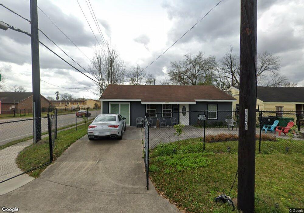
6703 New York St Houston, TX 77021
OST-South Union NeighborhoodEstimated Value: $156,000 - $234,000
5
Beds
2
Baths
1,918
Sq Ft
$108/Sq Ft
Est. Value
About This Home
This home is located at 6703 New York St, Houston, TX 77021 and is currently estimated at $206,586, approximately $107 per square foot. 6703 New York St is a home located in Harris County with nearby schools including Marcellus Elliot Foster Elementary, Cullen Middle School, and Yates High School.
Ownership History
Date
Name
Owned For
Owner Type
Purchase Details
Closed on
Nov 19, 2019
Sold by
Bell Cornelia
Bought by
Goodly Debra
Current Estimated Value
Purchase Details
Closed on
Jan 31, 2014
Sold by
Bayview Financial Property Trust
Bought by
Goodly Debra and Bell Cornelia
Purchase Details
Closed on
Mar 29, 2002
Sold by
Scott Wizig Enterprises Inc
Bought by
Bayview Financial Property Trust
Purchase Details
Closed on
Mar 5, 1996
Sold by
Hendrix Dorothy and Wizig Scott
Bought by
Hendrix Dorothy
Create a Home Valuation Report for This Property
The Home Valuation Report is an in-depth analysis detailing your home's value as well as a comparison with similar homes in the area
Home Values in the Area
Average Home Value in this Area
Purchase History
| Date | Buyer | Sale Price | Title Company |
|---|---|---|---|
| Goodly Debra | -- | None Available | |
| Goodly Debra | -- | None Available | |
| Bayview Financial Property Trust | -- | Fidelity National Title | |
| Hendrix Dorothy | -- | -- |
Source: Public Records
Tax History Compared to Growth
Tax History
| Year | Tax Paid | Tax Assessment Tax Assessment Total Assessment is a certain percentage of the fair market value that is determined by local assessors to be the total taxable value of land and additions on the property. | Land | Improvement |
|---|---|---|---|---|
| 2025 | $957 | $143,608 | $85,000 | $58,608 |
| 2024 | $957 | $145,236 | $85,000 | $60,236 |
| 2023 | $815 | $143,862 | $77,500 | $66,362 |
| 2022 | $1,773 | $137,112 | $70,000 | $67,112 |
| 2021 | $1,707 | $84,269 | $42,500 | $41,769 |
| 2020 | $1,612 | $66,565 | $27,500 | $39,065 |
| 2019 | $1,625 | $64,218 | $27,500 | $36,718 |
| 2018 | $1,422 | $56,190 | $22,500 | $33,690 |
| 2017 | $1,421 | $56,190 | $22,500 | $33,690 |
| 2016 | $1,421 | $56,190 | $22,500 | $33,690 |
| 2015 | $1,228 | $56,190 | $22,500 | $33,690 |
| 2014 | $1,228 | $47,761 | $12,500 | $35,261 |
Source: Public Records
Map
Nearby Homes
- 6730 Paris St Unit A/B
- 6726 Paris St Unit A-B
- 6734 Paris St Unit A-B
- 0 Ward St Unit 79606542
- 6710 New York St
- 6807 Paris St
- 6815 Paris St
- 6817 Paris St
- 4512 Ward St
- 6637 New York St
- 6636 New York St
- 6747 Liverpool St
- 4715 Ward St
- 6824 Calhoun Rd
- 6835 New York St
- 6830 New York St
- 6814 Dumble St
- 6818 Dumble St
- 6711 Eastwood St
- 6714 Dumble St
- 6707 New York St
- 4520 New York St
- 6711 New York St
- 6702 Paris St
- 6706 Paris St
- 6715 New York St
- 6710 Paris St
- 4521 Yellowstone Blvd
- 0 Paris Unit 8667083
- 0 Paris Unit 69504826
- 0 Paris Unit 35777703
- 0 Paris Unit 74290837
- 0 Paris Unit 53407153
- 00 Paris St
- 6719 New York St
- 6430 Paris St
- 6718 Paris St
- 6718 New York St
- 4516 Yellowstone Blvd
- 6723 New York St