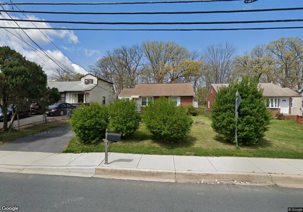
6703 Saint Barnabas Rd Oxon Hill, MD 20745
Estimated Value: $330,000 - $392,000
--
Bed
1
Bath
1,133
Sq Ft
$306/Sq Ft
Est. Value
About This Home
This home is located at 6703 Saint Barnabas Rd, Oxon Hill, MD 20745 and is currently estimated at $346,180, approximately $305 per square foot. 6703 Saint Barnabas Rd is a home located in Prince George's County with nearby schools including Apple Grove Elementary School, Oxon Hill Middle School, and Oxon Hill High School.
Ownership History
Date
Name
Owned For
Owner Type
Purchase Details
Closed on
Mar 25, 2019
Sold by
Green Carlton M and Estate Of Sandra F Carlton
Bought by
Williams Neshae
Current Estimated Value
Home Financials for this Owner
Home Financials are based on the most recent Mortgage that was taken out on this home.
Original Mortgage
$186,202
Outstanding Balance
$163,370
Interest Rate
4.3%
Mortgage Type
New Conventional
Estimated Equity
$182,810
Purchase Details
Closed on
Jan 26, 1979
Sold by
Counihan Herbert E
Bought by
Lewis Sandra F
Create a Home Valuation Report for This Property
The Home Valuation Report is an in-depth analysis detailing your home's value as well as a comparison with similar homes in the area
Home Values in the Area
Average Home Value in this Area
Purchase History
| Date | Buyer | Sale Price | Title Company |
|---|---|---|---|
| Williams Neshae | $183,000 | Titlemax Llc | |
| Lewis Sandra F | $44,000 | -- |
Source: Public Records
Mortgage History
| Date | Status | Borrower | Loan Amount |
|---|---|---|---|
| Open | Williams Neshae | $186,202 |
Source: Public Records
Tax History Compared to Growth
Tax History
| Year | Tax Paid | Tax Assessment Tax Assessment Total Assessment is a certain percentage of the fair market value that is determined by local assessors to be the total taxable value of land and additions on the property. | Land | Improvement |
|---|---|---|---|---|
| 2025 | $3,817 | $296,467 | -- | -- |
| 2024 | $3,817 | $266,100 | $86,500 | $179,600 |
| 2023 | $3,638 | $242,733 | $0 | $0 |
| 2022 | $3,433 | $219,367 | $0 | $0 |
| 2021 | $3,241 | $196,000 | $75,700 | $120,300 |
| 2020 | $6,384 | $189,767 | $0 | $0 |
| 2019 | $2,628 | $183,533 | $0 | $0 |
| 2018 | $3,032 | $177,300 | $75,700 | $101,600 |
| 2017 | $2,698 | $166,033 | $0 | $0 |
| 2016 | -- | $154,767 | $0 | $0 |
| 2015 | $3,033 | $143,500 | $0 | $0 |
| 2014 | $3,033 | $143,500 | $0 | $0 |
Source: Public Records
Map
Nearby Homes
- 6900 Stirling St
- 6524 Buckland Ct
- 6348 Stonewain Ct
- 1110 Vinson St
- 7100 Southlawn Dr
- 7009 Shagbark Ct
- 6903 Bock Rd
- 2016 Belfast Dr
- 6225 Dimrill Ct
- 2004 Wolf St
- 2107 High Timber Rd
- 6120 Brandyhall Ct
- 6510 Trowbridge Place
- 2105 Calhoun St
- 1007 Comanche Dr
- 5926 Shoshone Dr
- 5605 Fargo Ave
- 0 Bock Rd
- 1206 Crisfield Dr
- 5812 Shoshone Dr
- 6705 Saint Barnabas Rd
- 6701 Saint Barnabas Rd
- 6639 Saint Barnabas Rd
- 6707 Saint Barnabas Rd
- 6637 Saint Barnabas Rd
- 6709 Saint Barnabas Rd
- 6702 Livingston Rd
- 6700 Livingston Rd
- 6704 Livingston Rd
- 6616 Livingston Rd
- 0 St Barnabas Rd Unit PG7734077
- 6614 Livingston Rd
- 6712 Livingston Rd
- 6633 Saint Barnabas Rd
- 6708 Saint Barnabas Rd
- 6610 Livingston Rd
- 6624 Saint Barnabas Rd
- 6557 Bock Terrace
- 6549 Bock Terrace
- 6716 Livingston Rd