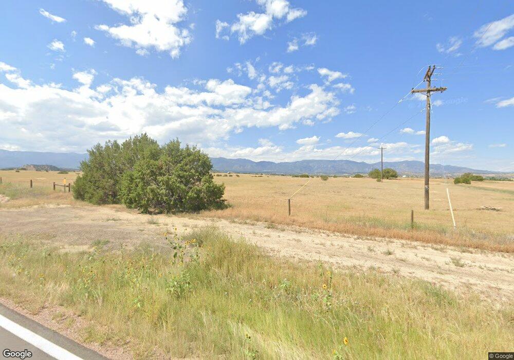
6703 State Highway 67 Florence, CO 81226
Estimated Value: $229,746 - $286,000
3
Beds
1
Bath
1,416
Sq Ft
$185/Sq Ft
Est. Value
About This Home
This home is located at 6703 State Highway 67, Florence, CO 81226 and is currently estimated at $262,437, approximately $185 per square foot. 6703 State Highway 67 is a home located in Fremont County with nearby schools including Fremont Elementary School, Florence High School, and Florence Christian School.
Ownership History
Date
Name
Owned For
Owner Type
Purchase Details
Closed on
Feb 23, 2021
Sold by
Messer Patricia S
Bought by
Luckey Charles
Current Estimated Value
Purchase Details
Closed on
Dec 11, 2020
Sold by
Messer Dave B and Messer David Brian
Bought by
Messer Patricia
Purchase Details
Closed on
May 21, 2018
Sold by
Luckey Charles W
Bought by
Messer David D
Purchase Details
Closed on
Dec 7, 2010
Sold by
Luckey Robin D
Bought by
Luckey Charles W
Purchase Details
Closed on
Nov 21, 2006
Sold by
Messer Dave B
Bought by
Luckey Charles W and Luckey Robin B
Purchase Details
Closed on
Feb 20, 1995
Sold by
Robb
Bought by
Messer
Purchase Details
Closed on
Mar 10, 1994
Sold by
Robb
Bought by
Messer
Create a Home Valuation Report for This Property
The Home Valuation Report is an in-depth analysis detailing your home's value as well as a comparison with similar homes in the area
Home Values in the Area
Average Home Value in this Area
Purchase History
| Date | Buyer | Sale Price | Title Company |
|---|---|---|---|
| Luckey Charles | -- | None Available | |
| Messer Patricia | -- | None Listed On Document | |
| Messer David D | -- | None Available | |
| Luckey Charles W | -- | None Available | |
| Luckey Charles W | -- | None Available | |
| Messer | -- | -- | |
| Messer | $120,000 | -- |
Source: Public Records
Tax History Compared to Growth
Tax History
| Year | Tax Paid | Tax Assessment Tax Assessment Total Assessment is a certain percentage of the fair market value that is determined by local assessors to be the total taxable value of land and additions on the property. | Land | Improvement |
|---|---|---|---|---|
| 2024 | $11 | $175 | $0 | $0 |
| 2023 | $968 | $16,124 | $0 | $0 |
| 2022 | $990 | $16,326 | $0 | $0 |
| 2021 | $1,001 | $16,796 | $0 | $0 |
| 2020 | $673 | $13,750 | $0 | $0 |
| 2019 | $683 | $13,750 | $0 | $0 |
| 2018 | $593 | $12,128 | $0 | $0 |
| 2017 | $610 | $12,128 | $0 | $0 |
| 2016 | $625 | $12,590 | $0 | $0 |
| 2015 | $617 | $12,590 | $0 | $0 |
| 2012 | $710 | $12,788 | $6,368 | $6,420 |
Source: Public Records
Map
Nearby Homes
- 101 Cholla Cir
- 110 Yucca Ave
- 348 Arrowhead Dr
- 346 Arrowhead Dr
- 344 Arrowhead Dr
- 340 Arrowhead Dr
- 1134 Moore Dr
- 336 Arrowhead Dr
- 254 Bandito Trail
- TBD 2 Ranch Rd
- 709 Cr 108
- 213 Indian Hills Rd
- 204 Indian Hills Rd
- 206 Indian Hills Rd
- 278 Arrowhead Dr
- 255 Arrowhead Dr
- 600 Pioneer Ln
- 206 Arrowhead Dr
- 949 Coyote Cir
- TBD Cedar St
- 6703 State Highway 67
- 6451 Colorado 67
- 6702 State Highway 67 Unit none
- 6702 State Highway 67
- 251 County Road 100 Unit FRE
- 160 Cap Rock Rd
- 200 Cap Rock Rd
- 170 Cap Rock Rd
- 180 Cap Rock Rd
- 202 Cap Rock Rd
- 260 Cap Rock Rd
- 306 County Road 107
- 325 County Road 107
- 67 S Hwy 67
- 589 County Road 100 Unit FRE
- 589 Cr 100
- 589 County Road 100
- 589 County Road 100
- 585 County Road 100 Unit FRE
- 1050 County Road 100 Unit FRE
