Estimated Value: $1,565,000
2
Beds
1
Bath
840
Sq Ft
$1,863/Sq Ft
Est. Value
About This Home
This home is located at 67045 Fryrear Rd, Bend, OR 97701 and is currently estimated at $1,565,000, approximately $1,863 per square foot. 67045 Fryrear Rd is a home located in Deschutes County with nearby schools including Sisters Elementary School, Sisters Middle School, and Sisters High School.
Ownership History
Date
Name
Owned For
Owner Type
Purchase Details
Closed on
Jun 13, 2017
Sold by
Palmer Krista R
Bought by
Palmer Robert Benjamin and Palmer Krobert B
Current Estimated Value
Home Financials for this Owner
Home Financials are based on the most recent Mortgage that was taken out on this home.
Original Mortgage
$424,000
Outstanding Balance
$350,460
Interest Rate
3.88%
Mortgage Type
New Conventional
Estimated Equity
$1,214,540
Purchase Details
Closed on
Jun 30, 2013
Sold by
Worcester Hal E
Bought by
Palmer Robert B and Palmer Krista R
Home Financials for this Owner
Home Financials are based on the most recent Mortgage that was taken out on this home.
Original Mortgage
$86,925
Interest Rate
4.12%
Mortgage Type
Adjustable Rate Mortgage/ARM
Create a Home Valuation Report for This Property
The Home Valuation Report is an in-depth analysis detailing your home's value as well as a comparison with similar homes in the area
Home Values in the Area
Average Home Value in this Area
Purchase History
| Date | Buyer | Sale Price | Title Company |
|---|---|---|---|
| Palmer Robert Benjamin | -- | First American Title | |
| Palmer Robert B | $115,900 | Deschutes County Title Co |
Source: Public Records
Mortgage History
| Date | Status | Borrower | Loan Amount |
|---|---|---|---|
| Open | Palmer Robert Benjamin | $424,000 | |
| Closed | Palmer Robert B | $86,925 |
Source: Public Records
Tax History Compared to Growth
Tax History
| Year | Tax Paid | Tax Assessment Tax Assessment Total Assessment is a certain percentage of the fair market value that is determined by local assessors to be the total taxable value of land and additions on the property. | Land | Improvement |
|---|---|---|---|---|
| 2025 | $4,123 | $277,920 | -- | -- |
| 2024 | $3,988 | $269,830 | -- | -- |
| 2023 | $3,873 | $261,980 | $0 | $0 |
| 2022 | $3,560 | $246,950 | $0 | $0 |
| 2021 | $3,401 | $239,760 | $0 | $0 |
| 2020 | $3,224 | $239,760 | $0 | $0 |
| 2019 | $3,147 | $232,780 | $0 | $0 |
| 2018 | $3,065 | $226,000 | $0 | $0 |
| 2017 | $2,957 | $219,420 | $0 | $0 |
| 2016 | $2,910 | $213,030 | $0 | $0 |
| 2015 | $1,924 | $145,960 | $0 | $0 |
| 2014 | $923 | $72,520 | $0 | $0 |
Source: Public Records
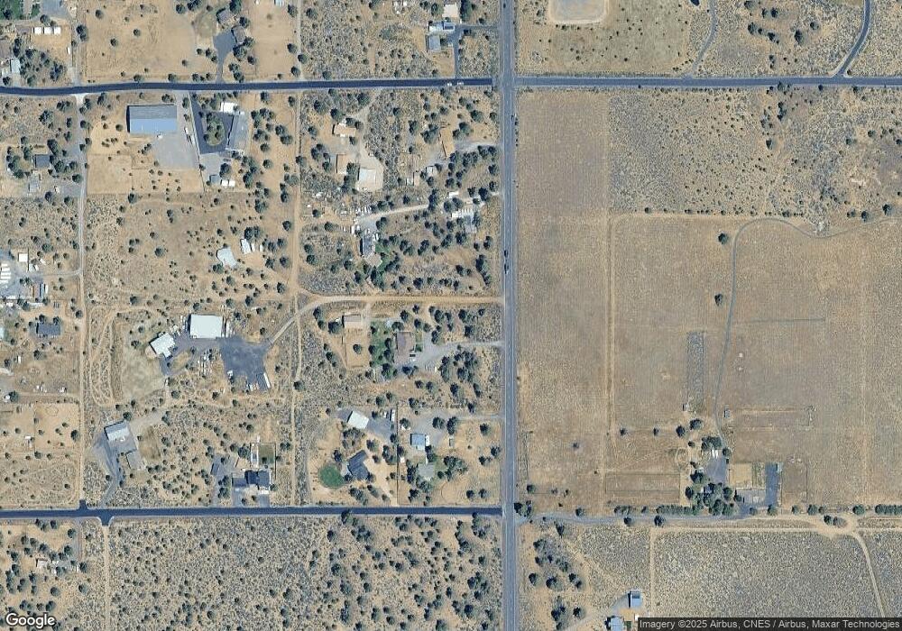
Map
Nearby Homes
- 67133 Fryrear Rd
- 67134 Central St
- 66945 Central St
- 67100 Fryrear Rd
- 67076 Sunburst St
- 18025 Cascade Estates Dr
- 18070 Cascade Estates Dr
- 66985 Rock Island Ln
- 17644 Cascade Estates Dr
- 17450 Star Thistle Ln
- 66488 Sisemore Rd
- 67480 Cloverdale Rd
- 67216 Gist Rd
- 67205 Bass Ln
- 67439 U S 20
- 17500 Forked Horn Rd
- 16830 Delicious St
- 16816 Ponderosa Cascade Dr
- 64225 Sisemore Rd
- 65930 Mariposa Ln
- 67055 Fryrear Rd
- 18120 2nd Ave
- 18140 2nd Ave
- 67035 Fryrear Rd
- 67020 Central St
- 18125 3rd Ave Unit RR2
- 18125 3rd Ave
- 67054 Central St
- 67054 NW Central St
- 67040 Central St
- 67077 East St
- 18159 3rd Ave
- 18089 2nd Ave
- 67070 Central St
- 67015 Fryrear Rd
- 67006 Central St
- 67065 Fryrear Rd
- 18120 3rd Ave
- 68645 Fryrear Rd
- 68625 Fryrear Rd Unit Lot C