6705 Covered Bridge Dr Unit 1-A Austin, TX 78736
West Oak Hill NeighborhoodEstimated Value: $398,000 - $432,000
3
Beds
3
Baths
1,752
Sq Ft
$235/Sq Ft
Est. Value
About This Home
This home is located at 6705 Covered Bridge Dr Unit 1-A, Austin, TX 78736 and is currently estimated at $412,245, approximately $235 per square foot. 6705 Covered Bridge Dr Unit 1-A is a home located in Travis County with nearby schools including Oak Hill Elementary School, Small Middle School, and James Bowie High School.
Ownership History
Date
Name
Owned For
Owner Type
Purchase Details
Closed on
Sep 3, 2021
Sold by
Keith Barbary
Bought by
Krebs Alfred N and Krebs Kathleen S
Current Estimated Value
Purchase Details
Closed on
Oct 30, 2009
Sold by
Rsz Properties Llc
Bought by
Keith Barbary
Home Financials for this Owner
Home Financials are based on the most recent Mortgage that was taken out on this home.
Original Mortgage
$207,999
Interest Rate
5.05%
Mortgage Type
New Conventional
Create a Home Valuation Report for This Property
The Home Valuation Report is an in-depth analysis detailing your home's value as well as a comparison with similar homes in the area
Home Values in the Area
Average Home Value in this Area
Purchase History
| Date | Buyer | Sale Price | Title Company |
|---|---|---|---|
| Krebs Alfred N | -- | Texas National Title | |
| Keith Barbary | -- | None Available |
Source: Public Records
Mortgage History
| Date | Status | Borrower | Loan Amount |
|---|---|---|---|
| Previous Owner | Keith Barbary | $207,999 |
Source: Public Records
Tax History Compared to Growth
Tax History
| Year | Tax Paid | Tax Assessment Tax Assessment Total Assessment is a certain percentage of the fair market value that is determined by local assessors to be the total taxable value of land and additions on the property. | Land | Improvement |
|---|---|---|---|---|
| 2025 | $4,919 | $430,189 | $143,083 | $287,106 |
| 2023 | $5,734 | $433,072 | $44,713 | $388,359 |
| 2022 | $8,551 | $432,978 | $44,713 | $388,265 |
| 2021 | $7,087 | $325,576 | $44,713 | $280,863 |
| 2020 | $6,731 | $313,817 | $44,713 | $269,104 |
| 2018 | $6,524 | $294,651 | $44,713 | $249,938 |
| 2017 | $6,634 | $297,473 | $44,713 | $252,760 |
| 2016 | $6,097 | $273,396 | $44,713 | $228,683 |
| 2015 | $5,898 | $256,493 | $44,713 | $211,780 |
| 2014 | $5,898 | $247,827 | $44,713 | $203,114 |
Source: Public Records
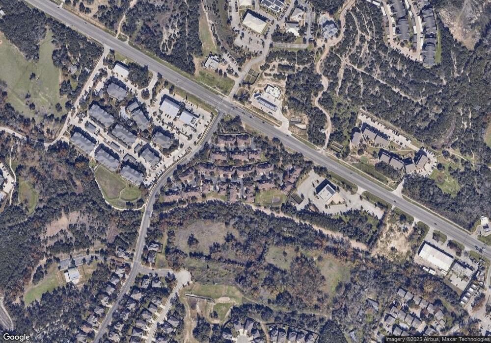
Map
Nearby Homes
- 6701 Covered Bridge Dr
- 6701 Covered Bridge Dr Unit 51
- 6701 Covered Bridge Dr Unit 40
- 8818 Moccasin Path
- 6718 Silvermine Dr Unit 903
- 6718 Silvermine Dr Unit 804
- 8737 W Highway 71
- 7324 Covered Bridge Dr
- 8536 Red Willow Dr
- 8005 Red Willow Dr
- 7008 Chinook Dr
- 7505 Roaring Springs Dr
- 7601 Crackling Creek Dr
- 7010 Harvest Trail Dr
- 7301 Scenic Brook Dr
- 6901 Bright Star Ln
- 7809 Old Bee Caves Rd Unit 15
- The Yucatan Plan at Cayena Creekside
- The Anaheim Plan at Cayena Creekside
- 7809 Old Bee Caves Rd Unit 14
- 6705 Covered Bridge Dr Unit 39
- 6705 Covered Bridge Dr Unit 38
- 6705 Covered Bridge Dr Unit 37
- 6705 Covered Bridge Dr Unit 35
- 6705 Covered Bridge Dr Unit 34
- 6705 Covered Bridge Dr Unit 33
- 6705 Covered Bridge Dr Unit 32
- 6705 Covered Bridge Dr Unit 31
- 6705 Covered Bridge Dr Unit 29
- 6705 Covered Bridge Dr Unit 28
- 6705 Covered Bridge Dr Unit 27
- 6705 Covered Bridge Dr Unit 26
- 6705 Covered Bridge Dr Unit 25
- 6705 Covered Bridge Dr Unit 24
- 6705 Covered Bridge Dr Unit 23
- 6705 Covered Bridge Dr Unit 22
- 6705 Covered Bridge Dr Unit 21
- 6705 Covered Bridge Dr Unit 20
- 6705 Covered Bridge Dr Unit 19
- 6705 Covered Bridge Dr Unit 18