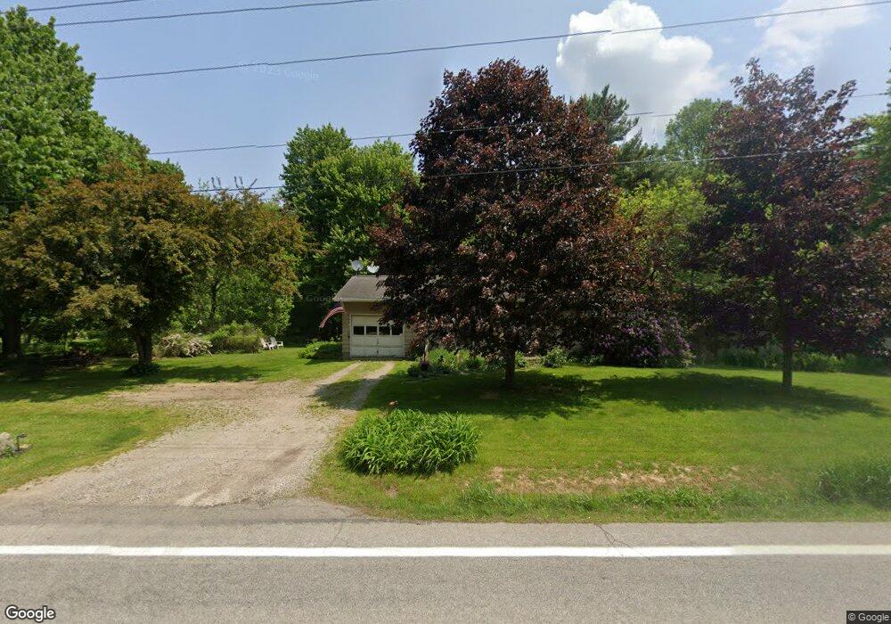
6705 State Route 546 Bellville, OH 44813
Estimated Value: $132,531 - $387,000
2
Beds
1
Bath
864
Sq Ft
$269/Sq Ft
Est. Value
About This Home
This home is located at 6705 State Route 546, Bellville, OH 44813 and is currently estimated at $232,633, approximately $269 per square foot. 6705 State Route 546 is a home with nearby schools including Clear Fork High School.
Ownership History
Date
Name
Owned For
Owner Type
Purchase Details
Closed on
Sep 26, 2014
Sold by
Hill Kimberly D and Adams Kimberley D
Bought by
Adams Jeffrey Todd
Current Estimated Value
Purchase Details
Closed on
May 8, 2003
Sold by
Adams Jeffrey Todd
Bought by
Adams Jeffrey Todd and Hill Kimberly D
Home Financials for this Owner
Home Financials are based on the most recent Mortgage that was taken out on this home.
Original Mortgage
$50,000
Interest Rate
5.95%
Mortgage Type
Purchase Money Mortgage
Create a Home Valuation Report for This Property
The Home Valuation Report is an in-depth analysis detailing your home's value as well as a comparison with similar homes in the area
Home Values in the Area
Average Home Value in this Area
Purchase History
| Date | Buyer | Sale Price | Title Company |
|---|---|---|---|
| Adams Jeffrey Todd | -- | None Available | |
| Adams Jeffrey Todd | -- | Chicago Title Cathie |
Source: Public Records
Mortgage History
| Date | Status | Borrower | Loan Amount |
|---|---|---|---|
| Closed | Adams Jeffrey Todd | $50,000 |
Source: Public Records
Tax History Compared to Growth
Tax History
| Year | Tax Paid | Tax Assessment Tax Assessment Total Assessment is a certain percentage of the fair market value that is determined by local assessors to be the total taxable value of land and additions on the property. | Land | Improvement |
|---|---|---|---|---|
| 2024 | $1,039 | $28,740 | $9,000 | $19,740 |
| 2023 | $1,039 | $28,740 | $9,000 | $19,740 |
| 2022 | $972 | $24,530 | $8,470 | $16,060 |
| 2021 | $1,081 | $24,530 | $8,470 | $16,060 |
| 2020 | $1,020 | $24,530 | $8,470 | $16,060 |
| 2019 | $908 | $20,790 | $7,180 | $13,610 |
| 2018 | $899 | $20,790 | $7,180 | $13,610 |
| 2017 | $891 | $20,790 | $7,180 | $13,610 |
| 2016 | $897 | $21,300 | $6,830 | $14,470 |
| 2015 | $897 | $21,300 | $6,830 | $14,470 |
| 2014 | $895 | $21,300 | $6,830 | $14,470 |
| 2012 | $868 | $21,300 | $6,830 | $14,470 |
Source: Public Records
Map
Nearby Homes
- 7086 State Route 546
- 6334 Black Rd
- 1261 Honey Creek Rd W
- 7230 State Route 13
- 644 Ross Rd
- 479 Ross Rd
- 76 Smith Rd
- 598 Bollinger Rd
- 559 Poorman Rd
- 5800 Ankneytown Rd
- 6533 Durbin Rd
- 343 W Durbin Ave
- 32 Betty Dr
- 11936 Yankee St
- 70 Betty Dr
- 325 S Main St
- 161 Church St
- 361 Honey Creek Rd E
- 179 Dickerson Ave
- 122 Church St
- 6721 State Route 546
- 6689 State Route 546
- 6689 State Route 546
- 6689 Ohio 546
- 6745 State Route 546
- 6773 State Route 546
- 0 Read Rd & Sr 546
- 0 Read Rd
- 6630 Clever Rd
- 1675 Read Rd
- 6800 State Route 546
- 6805 Ohio 546
- 6655 Clever Rd
- 6595 State Route 546
- 6729 Clever Rd
- 6890 State Route 546
- 6890 Ohio 546
- 6595 Clever Rd
- 1737 Read Rd
- 6829 Clever Rd