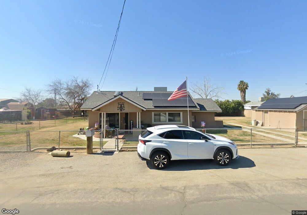
6707 Byrd St Bakersfield, CA 93308
Olive Drive Area NeighborhoodEstimated Value: $284,241 - $361,000
About This Home
This home is located at 6707 Byrd St, Bakersfield, CA 93308 and is currently estimated at $312,060, approximately $262 per square foot. 6707 Byrd St is a home located in Kern County with nearby schools including San Lauren Elementary School, Beardsley Junior High School, and North High School.
Ownership History
We collect this data history from publicly available records. To have your information removed, we recommend requesting removal directly through your county’s website.
Purchase Details
Home Financials for this Owner
Home Financials are based on the most recent Mortgage that was taken out on this home.Purchase Details
Home Financials for this Owner
Home Financials are based on the most recent Mortgage that was taken out on this home.Purchase Details
Home Financials for this Owner
Home Financials are based on the most recent Mortgage that was taken out on this home.Home Values in the Area
Average Home Value in this Area
Purchase History
We collect this data history from publicly available records. To have your information removed, we recommend requesting removal directly through your county’s website.
| Date | Buyer | Sale Price | Title Company |
|---|---|---|---|
| -- | Fidelity Title | ||
| -- | First American Title | ||
| $86,727 | -- |
Mortgage History
We collect this data history from publicly available records. To have your information removed, we recommend requesting removal directly through your county’s website.
| Date | Status | Borrower | Loan Amount |
|---|---|---|---|
| Previous Owner | $150,750 | ||
| Previous Owner | $128,000 | ||
| Previous Owner | $87,000 |
Tax History
We collect this data history from publicly available records. To have your information removed, we recommend requesting removal directly through your county’s website.
| Year | Tax Paid | Tax Assessment Tax Assessment Total Assessment is a certain percentage of the fair market value that is determined by local assessors to be the total taxable value of land and additions on the property. | Land | Improvement |
|---|---|---|---|---|
| 2025 | $2,277 | $147,837 | $62,870 | $84,967 |
| 2024 | $2,213 | $144,939 | $61,638 | $83,301 |
| 2023 | $2,158 | $142,098 | $60,430 | $81,668 |
| 2022 | $2,081 | $139,313 | $59,246 | $80,067 |
| 2021 | $2,006 | $136,583 | $58,085 | $78,498 |
| 2020 | $1,939 | $135,184 | $57,490 | $77,694 |
| 2019 | $1,790 | $122,000 | $31,000 | $91,000 |
| 2018 | $1,746 | $121,000 | $30,000 | $91,000 |
| 2017 | $1,651 | $113,000 | $28,000 | $85,000 |
| 2016 | $1,269 | $86,000 | $22,000 | $64,000 |
| 2015 | $1,194 | $81,000 | $20,000 | $61,000 |
| 2014 | $1,255 | $88,000 | $22,000 | $66,000 |
Map
- 6200 Wright Ave
- 6918 Crestwood St
- 7112 Crestwood St
- 6712 Cedarcrest Ave
- 6600 Audene Way
- 7206 Briar Ridge Ct
- 6524 Mohawk St
- 6117 Euclid Ave
- 6717 Noah Ave
- 6712 Noah Ave
- 6300 Carter Ave
- 5808 Sally Ave
- 5551 Midsummer Dr Unit E
- 7025 Elias Ave
- 7016 Elias Ave
- 5984 Oakhaven St
- 5401 Midsummer Dr Unit B
- 6606 Desmond Ct
- 6201 Victor St Unit C
- 7117 Luke Ave
- 6711 Byrd St
- 6211 Rogers St
- 6213 Rogers St
- 6220 Wright Ave
- 6120 Wright Ave
- 6712 Byrd St
- 6100 Wright Ave
- 6201 Wright Ave
- 6231 Rogers St
- 6230 Wright Ave
- 6711 Mccombs St
- 6218 Rogers St
- 6204 Rogers St
- 6226 Rogers St
- 6207 Wright Ave
- 6020 Wright Ave
- 6712 Mccombs St
- 6846 Normandy Rose Ave
- 6230 Rogers St
- 6860 Normandy Rose Ave
Ask me questions while you tour the home.