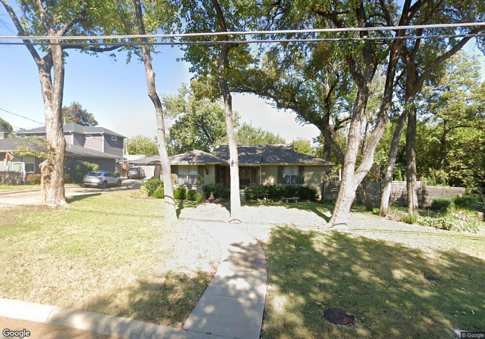
6707 Patrick Dr Dallas, TX 75214
Northeast Dallas NeighborhoodEstimated Value: $587,000 - $792,000
3
Beds
2
Baths
1,478
Sq Ft
$480/Sq Ft
Est. Value
About This Home
This home is located at 6707 Patrick Dr, Dallas, TX 75214 and is currently estimated at $709,796, approximately $480 per square foot. 6707 Patrick Dr is a home located in Dallas County with nearby schools including Lakewood Elementary School, J L Long Middle School, and Woodrow Wilson High School.
Ownership History
Date
Name
Owned For
Owner Type
Purchase Details
Closed on
Dec 17, 2008
Sold by
Branden Kendra and Finninger Kendra L
Bought by
Mears Kirk O
Current Estimated Value
Home Financials for this Owner
Home Financials are based on the most recent Mortgage that was taken out on this home.
Original Mortgage
$255,375
Outstanding Balance
$169,233
Interest Rate
6.19%
Mortgage Type
VA
Estimated Equity
$540,563
Purchase Details
Closed on
Mar 26, 1998
Sold by
Trotter Dora Louise
Bought by
Trotter Henry L
Create a Home Valuation Report for This Property
The Home Valuation Report is an in-depth analysis detailing your home's value as well as a comparison with similar homes in the area
Home Values in the Area
Average Home Value in this Area
Purchase History
| Date | Buyer | Sale Price | Title Company |
|---|---|---|---|
| Mears Kirk O | -- | Rtt | |
| Trotter Henry L | -- | -- | |
| Trotter Dora Louise | -- | -- |
Source: Public Records
Mortgage History
| Date | Status | Borrower | Loan Amount |
|---|---|---|---|
| Open | Mears Kirk O | $255,375 |
Source: Public Records
Tax History
| Year | Tax Paid | Tax Assessment Tax Assessment Total Assessment is a certain percentage of the fair market value that is determined by local assessors to be the total taxable value of land and additions on the property. | Land | Improvement |
|---|---|---|---|---|
| 2025 | $7,759 | $861,450 | $617,950 | $243,500 |
| 2024 | $7,759 | $527,110 | $240,000 | $287,110 |
| 2023 | $7,759 | $455,230 | $240,000 | $215,230 |
| 2022 | $11,382 | $455,230 | $240,000 | $215,230 |
| 2021 | $9,193 | $348,480 | $160,000 | $188,480 |
| 2020 | $9,454 | $348,480 | $160,000 | $188,480 |
| 2019 | $9,285 | $326,320 | $160,000 | $166,320 |
| 2018 | $8,873 | $326,320 | $160,000 | $166,320 |
| 2017 | $7,544 | $277,410 | $160,000 | $117,410 |
| 2016 | $7,544 | $277,410 | $160,000 | $117,410 |
| 2015 | $5,246 | $241,030 | $90,000 | $151,030 |
| 2014 | $5,246 | $234,160 | $90,000 | $144,160 |
Source: Public Records
Map
Nearby Homes
- 6611 Blessing Dr
- 6609 Patrick Dr
- 6802 Vada Dr
- 6737 Ravendale Ln
- 6811 Patrick Dr
- 6644 Santa Anita Dr
- 6729 Ravendale Ln
- 6725 Braeburn Dr
- 6709 Belford Dr
- 6984 Santa Barbara Dr
- 6923 Inverness Ln
- 5024 Rexton Ln
- 6475 Trammel Dr
- 6719 Santa Anita Dr
- 6471 Trammel Dr
- 6718 Hialeah Dr
- 6615 Ridgemont Dr
- 6459 Trammel Dr
- 6954 Santa Maria Ln
- 7119 Westbrook Ln
- 6705 Patrick Dr
- 6641 Patrick Dr
- 6715 Patrick Dr
- 6635 Patrick Dr
- 6607 Blessing Dr
- 6719 Patrick Dr
- 6631 Patrick Dr
- 6604 Blessing Dr
- 6725 Patrick Dr
- 6718 Patrick Dr
- 6625 Patrick Dr
- 6610 Blessing Dr
- 6729 Patrick Dr
- 6709 Blessing Dr
- 6722 Patrick Dr
- 6619 Patrick Dr
- 6728 Patrick Dr
- 6624 Blessing Cir
- 6733 Patrick Dr
- 4632 Surf Dr
Your Personal Tour Guide
Ask me questions while you tour the home.