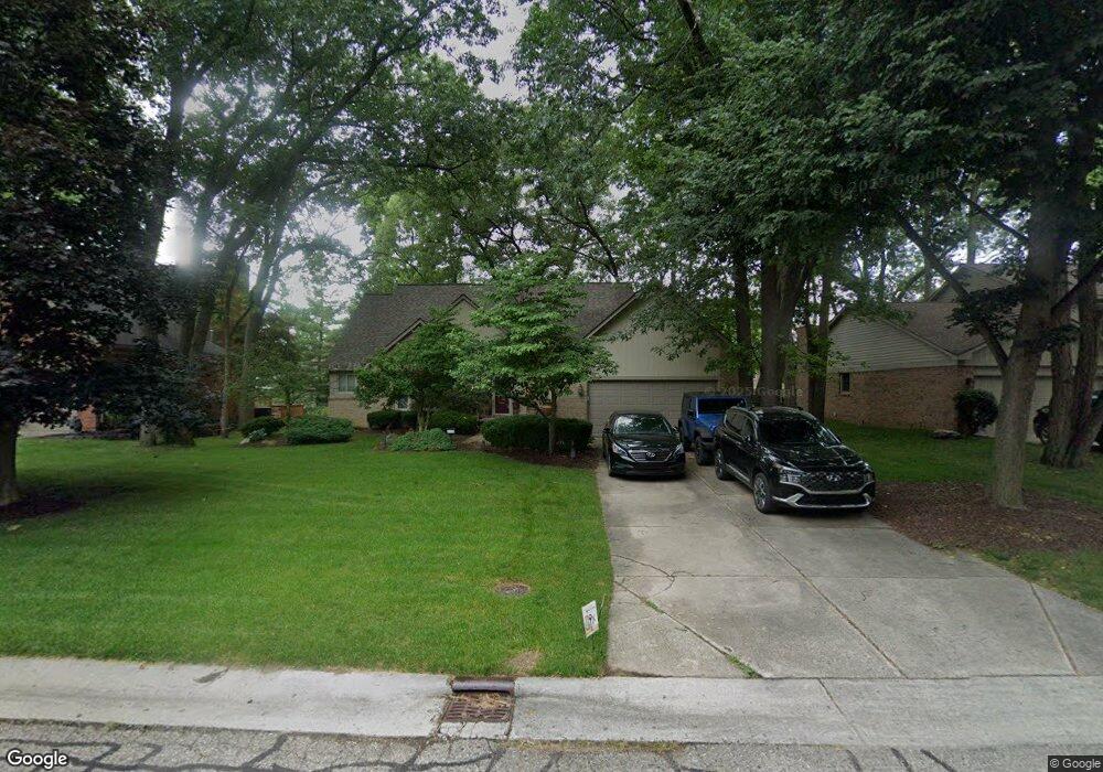
6708 High Ridge Rd West Bloomfield, MI 48324
Estimated Value: $550,000 - $607,000
3
Beds
3
Baths
2,379
Sq Ft
$240/Sq Ft
Est. Value
About This Home
This home is located at 6708 High Ridge Rd, West Bloomfield, MI 48324 and is currently estimated at $570,738, approximately $239 per square foot. 6708 High Ridge Rd is a home located in Oakland County with nearby schools including Clifford H. Smart Middle School, Walled Lake Northern High School, and Our Lady Of Refuge School.
Ownership History
Date
Name
Owned For
Owner Type
Purchase Details
Closed on
Oct 25, 2005
Sold by
Milinko Heidi B
Bought by
Powell Lynnette P and Dunn Matthew R
Current Estimated Value
Home Financials for this Owner
Home Financials are based on the most recent Mortgage that was taken out on this home.
Original Mortgage
$49,500
Outstanding Balance
$27,183
Interest Rate
5.98%
Mortgage Type
Credit Line Revolving
Estimated Equity
$543,555
Create a Home Valuation Report for This Property
The Home Valuation Report is an in-depth analysis detailing your home's value as well as a comparison with similar homes in the area
Home Values in the Area
Average Home Value in this Area
Purchase History
| Date | Buyer | Sale Price | Title Company |
|---|---|---|---|
| Powell Lynnette P | $330,000 | Interstate Title Inc |
Source: Public Records
Mortgage History
| Date | Status | Borrower | Loan Amount |
|---|---|---|---|
| Open | Powell Lynnette P | $49,500 | |
| Previous Owner | Powell Lynnette P | $264,000 |
Source: Public Records
Tax History Compared to Growth
Tax History
| Year | Tax Paid | Tax Assessment Tax Assessment Total Assessment is a certain percentage of the fair market value that is determined by local assessors to be the total taxable value of land and additions on the property. | Land | Improvement |
|---|---|---|---|---|
| 2024 | $2,971 | $226,720 | $0 | $0 |
| 2022 | $2,802 | $178,430 | $15,800 | $162,630 |
| 2021 | $4,609 | $180,320 | $0 | $0 |
| 2020 | $2,768 | $172,340 | $15,800 | $156,540 |
| 2018 | $4,516 | $161,880 | $15,010 | $146,870 |
| 2015 | -- | $136,780 | $0 | $0 |
| 2014 | -- | $129,370 | $0 | $0 |
| 2011 | -- | $115,410 | $0 | $0 |
Source: Public Records
Map
Nearby Homes
- 6707 Heatherwood Dr
- 3632 Fieldview Ave
- 6420 Commerce Rd
- 3641 Green Lake Rd
- 7146 Arrowood Dr
- 6768 Buckland Ave
- 7110 Commerce Rd
- 6903 Dandison Blvd
- 3950 Bradmore Ave
- 3965 Carrick Ave
- 2877 W Bloomfield Oaks Dr
- 3991 Fieldview Ave
- 7369 Sweetbriar
- 6289 Lindsay Ct
- 7185 Aaronway Dr
- 3701 Northwood
- 4066 Green Lake Rd
- 3115 Westacres Dr
- 6978 Colony Dr
- 0000 Langtoft
- 6694 High Ridge Rd
- 6722 High Ridge Rd
- 6680 High Ridge Rd
- 6693 Heatherwood Dr
- 6736 High Ridge Rd
- 6721 Heatherwood Dr
- 6679 Heatherwood Dr
- 6709 High Ridge Rd
- 6695 High Ridge Rd
- 6735 Heatherwood Dr
- 6681 High Ridge Rd
- 6723 High Ridge Rd
- 6666 High Ridge Rd
- 6750 High Ridge Rd
- 6665 Heatherwood Dr
- 6749 Heatherwood Dr
- 6737 High Ridge Rd
- 6652 High Ridge Rd
- 6667 High Ridge Rd
- 6764 High Ridge Rd