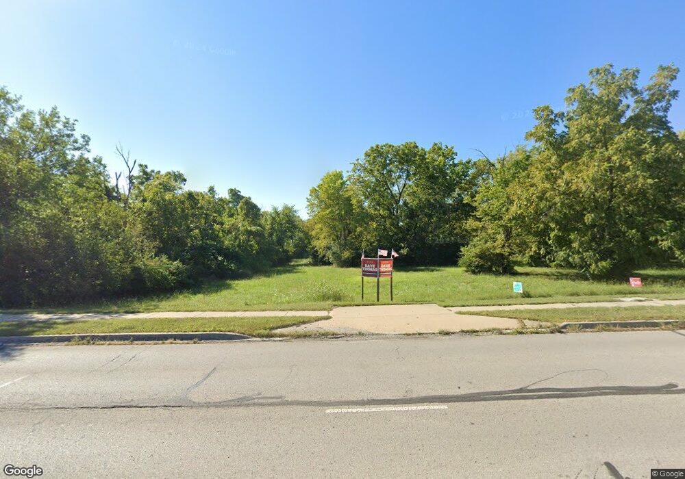
6709 High Grove Rd Grand View, MO 64030
Estimated Value: $28,000 - $249,000
--
Bed
--
Bath
--
Sq Ft
4.3
Acres
About This Home
This home is located at 6709 High Grove Rd, Grand View, MO 64030 and is currently estimated at $138,500. 6709 High Grove Rd is a home located in Jackson County with nearby schools including Meadowmere Elementary School, Grandview Middle, and Grandview High School.
Ownership History
Date
Name
Owned For
Owner Type
Purchase Details
Closed on
Jul 15, 2021
Sold by
Cox Dean A and Cox Brian D
Bought by
Abundance Investments Llc
Current Estimated Value
Purchase Details
Closed on
Aug 1, 2013
Sold by
Cox Robert L
Bought by
Cox Dean A and Cox Brian D
Purchase Details
Closed on
May 21, 2012
Sold by
Cox Deanna M
Bought by
Cox Robert L and Cox Robert Larry
Purchase Details
Closed on
Apr 25, 2007
Sold by
Cox Deanna M
Bought by
Cox Deanna M and The Deanna M Cox Living Trust
Create a Home Valuation Report for This Property
The Home Valuation Report is an in-depth analysis detailing your home's value as well as a comparison with similar homes in the area
Home Values in the Area
Average Home Value in this Area
Purchase History
| Date | Buyer | Sale Price | Title Company |
|---|---|---|---|
| Abundance Investments Llc | -- | Coffelt Land Title | |
| Abundance Investments Llc | -- | Coffelt Land Title | |
| Cox Dean A | -- | National Title Agency Of Kan | |
| Cox Robert L | -- | First American Title Ncs | |
| Cox Deanna M | -- | None Available |
Source: Public Records
Tax History Compared to Growth
Tax History
| Year | Tax Paid | Tax Assessment Tax Assessment Total Assessment is a certain percentage of the fair market value that is determined by local assessors to be the total taxable value of land and additions on the property. | Land | Improvement |
|---|---|---|---|---|
| 2025 | $1,011 | $8,041 | $8,041 | -- |
| 2024 | $708 | $8,862 | $8,862 | -- |
| 2023 | $708 | $8,862 | $8,862 | $0 |
| 2022 | $829 | $6,080 | $6,080 | $0 |
| 2021 | $522 | $6,080 | $6,080 | $0 |
| 2020 | $486 | $6,004 | $6,004 | $0 |
| 2019 | $469 | $6,004 | $6,004 | $0 |
| 2018 | $79 | $946 | $946 | $0 |
| 2017 | $79 | $946 | $946 | $0 |
| 2016 | $79 | $922 | $922 | $0 |
| 2014 | $80 | $922 | $922 | $0 |
Source: Public Records
Map
Nearby Homes
- 13122 Winchester Ave
- 12217 Bennington Ave
- 1903 Highgrove Rd
- 13119 Fuller Ave
- 13218 Craig Ave
- 13227 Bennington Ave
- 13012 Bristol Ave
- 13303 Bennington Ave
- 7114 E 132nd St
- 7201 E 130th Terrace
- 7205 E 131st St
- 7310 High Grove Rd
- 13407 Bennington Ave
- 13304 Corrington Ave
- 13202 Parker Ave
- 6609 E 129th St
- 13006 Byars Rd
- 13425 Belmead Ave
- 6600 E 129 St
- 6701 E 135th St
- 6703 High Grove Rd
- 6701 High Grove Rd
- 13003 Bennington Ave
- 13001 Bennington Ave
- 6708 E 132nd St
- 13005 Bennington Ave
- 6601 High Grove Rd
- 13007 Bennington Ave
- 13049 Bennington Ave
- 6507 Brentwood Ct
- 6506 Brentwood Ct
- 13108 Winchester Ave
- 13110 Winchester Ave
- 13112 Winchester Ave
- 13101 Bennington Ave
- 13102 Winchester Ave
- 13106 Winchester Ave
- 13114 Winchester Ave
- 0 High Grove Rd Unit 1818813
- 0 High Grove Rd Unit 2326548