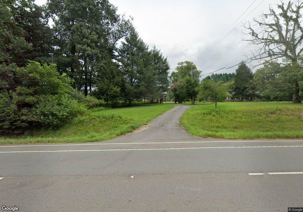
6709 Highway 52 E Ellijay, GA 30536
Estimated Value: $419,000 - $606,000
2
Beds
3
Baths
2,360
Sq Ft
$210/Sq Ft
Est. Value
About This Home
This home is located at 6709 Highway 52 E, Ellijay, GA 30536 and is currently estimated at $496,151, approximately $210 per square foot. 6709 Highway 52 E is a home located in Gilmer County with nearby schools including Ellijay Elementary School, Clear Creek Elementary School, and Clear Creek Middle School.
Ownership History
Date
Name
Owned For
Owner Type
Purchase Details
Closed on
Jun 13, 2025
Sold by
Pettit John C
Bought by
Mcelroy Courtney and Mcelroy Tyler
Current Estimated Value
Home Financials for this Owner
Home Financials are based on the most recent Mortgage that was taken out on this home.
Original Mortgage
$490,000
Outstanding Balance
$489,583
Interest Rate
6.81%
Mortgage Type
New Conventional
Estimated Equity
$6,568
Purchase Details
Closed on
Nov 15, 2011
Sold by
Federal National Mortgage Association
Bought by
Pettit John Clark
Home Financials for this Owner
Home Financials are based on the most recent Mortgage that was taken out on this home.
Original Mortgage
$161,791
Interest Rate
4.17%
Mortgage Type
FHA
Purchase Details
Closed on
May 3, 2011
Sold by
Mclaughlin Michael P and Mclaughlin Lois
Bought by
Aurora Loan Services Llc
Purchase Details
Closed on
Jun 4, 2008
Sold by
Bmw Land Investments Llc
Bought by
Mclaughlin Lois J and Mclaughlin Michael P
Purchase Details
Closed on
Dec 21, 2005
Sold by
Mclaughlin Lois Jan
Bought by
Mclaughlin Michael P and Mclaughlin Lois J
Home Financials for this Owner
Home Financials are based on the most recent Mortgage that was taken out on this home.
Original Mortgage
$213,500
Interest Rate
6.19%
Mortgage Type
New Conventional
Create a Home Valuation Report for This Property
The Home Valuation Report is an in-depth analysis detailing your home's value as well as a comparison with similar homes in the area
Home Values in the Area
Average Home Value in this Area
Purchase History
| Date | Buyer | Sale Price | Title Company |
|---|---|---|---|
| Mcelroy Courtney | $410,000 | -- | |
| Pettit John Clark | $166,000 | -- | |
| Aurora Loan Services Llc | $223,000 | -- | |
| Mclaughlin Lois J | -- | -- | |
| Mclaughlin Michael P | -- | -- |
Source: Public Records
Mortgage History
| Date | Status | Borrower | Loan Amount |
|---|---|---|---|
| Open | Mcelroy Courtney | $490,000 | |
| Previous Owner | Pettit John Clark | $400,000 | |
| Previous Owner | Pettit John Clark | $161,791 | |
| Previous Owner | Mclaughlin Michael P | $213,500 |
Source: Public Records
Tax History Compared to Growth
Tax History
| Year | Tax Paid | Tax Assessment Tax Assessment Total Assessment is a certain percentage of the fair market value that is determined by local assessors to be the total taxable value of land and additions on the property. | Land | Improvement |
|---|---|---|---|---|
| 2025 | $2,019 | $133,224 | $42,000 | $91,224 |
| 2024 | $2,019 | $130,308 | $38,200 | $92,108 |
| 2023 | $1,985 | $124,108 | $32,000 | $92,108 |
| 2022 | $1,917 | $108,948 | $32,000 | $76,948 |
| 2021 | $1,804 | $90,908 | $28,080 | $62,828 |
| 2020 | $1,962 | $89,176 | $27,360 | $61,816 |
| 2019 | $2,019 | $89,176 | $27,360 | $61,816 |
| 2018 | $2,046 | $89,176 | $27,360 | $61,816 |
| 2017 | $1,758 | $71,460 | $27,360 | $44,100 |
| 2016 | $1,665 | $66,320 | $27,360 | $38,960 |
| 2015 | $1,316 | $53,364 | $20,400 | $32,964 |
| 2014 | $1,380 | $53,840 | $20,400 | $33,440 |
| 2013 | -- | $59,260 | $24,480 | $34,780 |
Source: Public Records
Map
Nearby Homes
- 439 Buck Creek Rd Lt 34
- 450 Cartecay River Run Unit 18
- 450 Cartecay River Run
- 418 Cartecay River Run
- 418 Cartecay River Run Unit 20
- 0 Big Creek Rd Unit 10611738
- 0 Big Creek Rd Unit 7654771
- 0 Big Creek Rd Unit 419038
- 198 Hollow Log Dr
- Lot 10 Cartecay River Run
- LOT 39 Preserve Trail
- LOT 40 Preserve Trail
- 83 Licklog Rd
- Lot 13 Ridgemont Dr
- 514 Ridgemont Dr
- Lot 21 Ridgemont Ln
- lot 22 Ridgemont Ln
- Lot 23 Ridgemont Ln
- 55 Ivy Ridge
- 0 Ivy Ridge Ct Unit LT 47 3179934
- 0 Ivy Ridge Ct Unit LT 17 3179870
- 0 Ivy Ridge Ct Unit LT 26 3179912
- 0 Ivy Ridge Ct Unit LT 56 3179950
- 0 Ivy Ridge Ct Unit LT 16 3179846
- 0 Ivy Ridge Ct Unit LT 58 3179958
- 0 Ivy Ridge Ct Unit LT 62 3179930
- 0 Ivy Ridge Ct Unit LT 33 3179924
- 0 Ivy Ridge Ct Unit LOT 8 3179814
- 0 Ivy Ridge Ct Unit LT 24 3179895
- 0 Ivy Ridge Ct Unit LT 33 3187633
- 0 Ivy Ridge Ct Unit 202424
- 65 Ivy Ridge
- 6673 Highway 52 E
- 6673 Highway 52 E
- 6673 Highway 52 E
- LT 50 Ivy Ridge Estates
- 233 Ivy Ridge
- 220 Ivy Ridge
