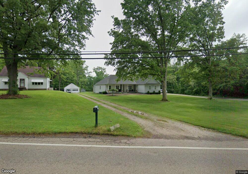
671 E State St Barberton, OH 44203
East Barberton NeighborhoodEstimated Value: $402,000 - $440,000
3
Beds
3
Baths
2,484
Sq Ft
$169/Sq Ft
Est. Value
About This Home
This home is located at 671 E State St, Barberton, OH 44203 and is currently estimated at $419,973, approximately $169 per square foot. 671 E State St is a home located in Summit County with nearby schools including Barberton Intermediate School 3-5, Barberton Middle School, and Barberton High School.
Ownership History
Date
Name
Owned For
Owner Type
Purchase Details
Closed on
Feb 13, 2019
Sold by
Canale Brian A and Canale Carol A
Bought by
Canale Carol A and Canale Brian A
Current Estimated Value
Purchase Details
Closed on
Aug 31, 2007
Sold by
Kondik Edward A and Kondik Mary T
Bought by
Canale Brian A and Canale Carol A
Create a Home Valuation Report for This Property
The Home Valuation Report is an in-depth analysis detailing your home's value as well as a comparison with similar homes in the area
Home Values in the Area
Average Home Value in this Area
Purchase History
| Date | Buyer | Sale Price | Title Company |
|---|---|---|---|
| Canale Carol A | -- | None Available | |
| Canale Brian A | $65,000 | Chicago Title Insurance Co |
Source: Public Records
Tax History
| Year | Tax Paid | Tax Assessment Tax Assessment Total Assessment is a certain percentage of the fair market value that is determined by local assessors to be the total taxable value of land and additions on the property. | Land | Improvement |
|---|---|---|---|---|
| 2025 | $5,630 | $119,343 | $21,728 | $97,615 |
| 2024 | $5,630 | $119,343 | $21,728 | $97,615 |
| 2023 | $5,630 | $119,343 | $21,728 | $97,615 |
| 2022 | $4,460 | $82,401 | $14,781 | $67,620 |
| 2021 | $4,465 | $82,401 | $14,781 | $67,620 |
| 2020 | $4,336 | $82,400 | $14,780 | $67,620 |
| 2019 | $3,729 | $64,470 | $6,390 | $58,080 |
| 2018 | $3,685 | $64,470 | $6,390 | $58,080 |
| 2017 | $3,261 | $61,690 | $6,390 | $55,300 |
| 2016 | $3,252 | $53,560 | $6,390 | $47,170 |
| 2015 | $3,261 | $53,560 | $6,390 | $47,170 |
| 2014 | $3,269 | $53,560 | $6,390 | $47,170 |
| 2013 | $3,244 | $53,960 | $6,390 | $47,570 |
Source: Public Records
Map
Nearby Homes
- V/L 1.16 Acres E Tuscarawas Extension
- 640 E Lake Ave
- 653 Washington Ave
- 951 S Azalea Blvd
- 611 Franklin Ave
- 986 S Azalea Blvd
- 274 E State St
- 2912 Clearfield Ave
- 507 E Ford Ave
- 492 E Hopocan Ave
- 3867 Melv St
- 341 6th St NE
- 1227 Flanders Ave
- 2967 Millbrook St
- 244 5th St NE
- 536 Austin Dr Unit B
- 536 Austin Dr
- 2832 Wingate Ave
- 1283 S Azalea Blvd
- 894 Sutherland Ave
- 655 E State St
- 655 E State St
- 655 E State St
- 655 E State St
- 649 E State St
- 3479 E Tuscarawas Extension
- 680 E State St
- 664 E State St
- 3438 E Tuscarawas Extension
- 635 E State St
- 3433 E Tuscarawas Extension
- 887 E Tuscarawas Ave
- 627 E State St
- 701 E State St
- 613 E State St
- 879 E Tuscarawas Ave
- 704 E State St
- 711 E State St
- 3418 E Tuscarawas Extension
- 610 E State St
Your Personal Tour Guide
Ask me questions while you tour the home.