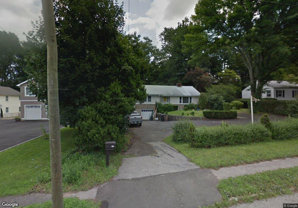
671 High Ridge Rd Stamford, CT 06905
Turn of the River-Newfield NeighborhoodEstimated Value: $685,363 - $706,000
3
Beds
1
Bath
1,412
Sq Ft
$493/Sq Ft
Est. Value
About This Home
This home is located at 671 High Ridge Rd, Stamford, CT 06905 and is currently estimated at $696,091, approximately $492 per square foot. 671 High Ridge Rd is a home located in Fairfield County with nearby schools including Stillmeadow Elementary School, Cloonan School, and Westhill High School.
Ownership History
Date
Name
Owned For
Owner Type
Purchase Details
Closed on
Oct 14, 2011
Sold by
Spartas Julia H
Bought by
Klompus Michael and Klompus Yelena
Current Estimated Value
Home Financials for this Owner
Home Financials are based on the most recent Mortgage that was taken out on this home.
Original Mortgage
$280,000
Outstanding Balance
$192,347
Interest Rate
4.25%
Mortgage Type
Purchase Money Mortgage
Estimated Equity
$503,744
Create a Home Valuation Report for This Property
The Home Valuation Report is an in-depth analysis detailing your home's value as well as a comparison with similar homes in the area
Home Values in the Area
Average Home Value in this Area
Purchase History
| Date | Buyer | Sale Price | Title Company |
|---|---|---|---|
| Klompus Michael | $350,000 | -- | |
| Klompus Michael | $350,000 | -- |
Source: Public Records
Mortgage History
| Date | Status | Borrower | Loan Amount |
|---|---|---|---|
| Open | Klompus Michael | $280,000 | |
| Closed | Klompus Michael | $280,000 |
Source: Public Records
Tax History Compared to Growth
Tax History
| Year | Tax Paid | Tax Assessment Tax Assessment Total Assessment is a certain percentage of the fair market value that is determined by local assessors to be the total taxable value of land and additions on the property. | Land | Improvement |
|---|---|---|---|---|
| 2025 | $8,487 | $358,690 | $229,920 | $128,770 |
| 2024 | $8,300 | $358,690 | $229,920 | $128,770 |
| 2023 | $8,917 | $358,690 | $229,920 | $128,770 |
| 2022 | $7,471 | $279,390 | $170,630 | $108,760 |
| 2021 | $7,390 | $279,390 | $170,630 | $108,760 |
| 2020 | $7,200 | $279,390 | $170,630 | $108,760 |
| 2019 | $7,200 | $279,390 | $170,630 | $108,760 |
| 2018 | $6,934 | $279,390 | $170,630 | $108,760 |
| 2017 | $6,843 | $263,190 | $157,020 | $106,170 |
| 2016 | $6,651 | $263,190 | $157,020 | $106,170 |
| 2015 | $6,477 | $263,190 | $157,020 | $106,170 |
| 2014 | $6,261 | $263,190 | $157,020 | $106,170 |
Source: Public Records
Map
Nearby Homes
- 27 Emma Rd
- 21 Nichols Ave
- 113 Wood Ridge Dr
- 34 Bradley Place
- 56 Bradley Place
- 14 Barmore Dr
- 6 Walnut Ridge Ct
- 31 Rosano Rd
- 12 Walnut Ridge Ct
- 433 High Ridge Rd
- 38 Lancaster Place
- 31 Woodridge Dr S
- 122 Brook Run Ln
- 31 Gray Farms Rd
- 182 Turner Rd
- 7 the Reserve at Sterling Ridge
- 22 Hastings Ln
- 100 Hirsch Rd
- 160 Wire Mill Rd
- 39 Camore St
- 675 High Ridge Rd
- 675 High Ridge Rd Unit 2NDFL
- 663 High Ridge Rd
- 663 High Ridge Rd Unit Main
- 657 High Ridge Rd
- 98 Little Hill Dr
- 685 High Ridge Rd
- 110 Little Hill Dr
- 92 Little Hill Dr
- 664 High Ridge Rd
- 679 High Ridge Rd
- 679 High Ridge Rd Unit 2NDFL
- 679 High Ridge Rd Unit 2
- 679 High Ridge Rd Unit B
- 647 High Ridge Rd
- 668 High Ridge Rd
- 120 Little Hill Dr
- 674 High Ridge Rd
- 106 Little Hill Dr