671 Leo Ln Cle Elum, WA 98922
Estimated Value: $977,000 - $1,256,000
4
Beds
3
Baths
2,024
Sq Ft
$569/Sq Ft
Est. Value
About This Home
This home is located at 671 Leo Ln, Cle Elum, WA 98922 and is currently estimated at $1,152,212, approximately $569 per square foot. 671 Leo Ln is a home located in Kittitas County with nearby schools including Cle Elum Roslyn Elementary School, Walter Strom Middle School, and Cle Elum Roslyn High School.
Ownership History
Date
Name
Owned For
Owner Type
Purchase Details
Closed on
Dec 14, 2021
Sold by
Palmer Edward A and Palmer Lisa C
Bought by
Edward A Palmer And Lisa C Palmer Living and Palmer
Current Estimated Value
Purchase Details
Closed on
Nov 4, 2021
Sold by
Palmer Edward A and Palmer Lisa C
Bought by
Palmer Edward A and Palmer Lisa C
Purchase Details
Closed on
May 21, 2010
Sold by
Porter Kenneth and Porter Patricia
Bought by
Palmer Edward A and Denherder Lisa C
Home Financials for this Owner
Home Financials are based on the most recent Mortgage that was taken out on this home.
Original Mortgage
$87,750
Interest Rate
5.21%
Mortgage Type
Unknown
Purchase Details
Closed on
Oct 24, 2005
Sold by
Scott Donna J
Bought by
Porter Kenneth and Porter Patricia
Home Financials for this Owner
Home Financials are based on the most recent Mortgage that was taken out on this home.
Original Mortgage
$116,000
Interest Rate
5.68%
Mortgage Type
New Conventional
Create a Home Valuation Report for This Property
The Home Valuation Report is an in-depth analysis detailing your home's value as well as a comparison with similar homes in the area
Home Values in the Area
Average Home Value in this Area
Purchase History
| Date | Buyer | Sale Price | Title Company |
|---|---|---|---|
| Edward A Palmer And Lisa C Palmer Living | -- | None Listed On Document | |
| Palmer Edward A | -- | None Available | |
| Palmer Edward A | $135,000 | Amerititle | |
| Porter Kenneth | $145,000 | Amerititle |
Source: Public Records
Mortgage History
| Date | Status | Borrower | Loan Amount |
|---|---|---|---|
| Previous Owner | Palmer Edward A | $87,750 | |
| Previous Owner | Porter Kenneth | $116,000 |
Source: Public Records
Tax History Compared to Growth
Tax History
| Year | Tax Paid | Tax Assessment Tax Assessment Total Assessment is a certain percentage of the fair market value that is determined by local assessors to be the total taxable value of land and additions on the property. | Land | Improvement |
|---|---|---|---|---|
| 2025 | $6,202 | $1,136,180 | $245,100 | $891,080 |
| 2023 | $6,202 | $999,170 | $196,100 | $803,070 |
| 2022 | $5,400 | $787,060 | $130,100 | $656,960 |
| 2021 | $5,339 | $740,430 | $116,100 | $624,330 |
| 2019 | $4,290 | $596,060 | $83,100 | $512,960 |
| 2018 | $3,348 | $471,560 | $83,100 | $388,460 |
| 2017 | $3,348 | $422,950 | $83,100 | $339,850 |
| 2016 | $3,354 | $422,950 | $83,100 | $339,850 |
| 2015 | $3,768 | $422,950 | $83,100 | $339,850 |
| 2013 | -- | $447,890 | $92,600 | $355,290 |
Source: Public Records
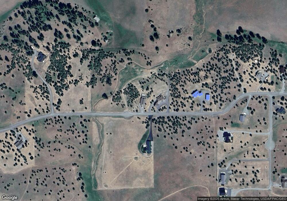
Map
Nearby Homes
- 1260 Leo Ln
- 700 Horse Jump Dr
- 2 D Swauk Pines Rd
- 2552 Hidden Valley Rd
- 701 Emerick Rd
- 0 Horseshoe Ln Unit 18-A NWM2429806
- 960 Forest Grove Way
- 1278 Mountain Creek Dr
- 230 Burke Rd
- 734 Lauderdale Ln
- 2080 Bettas Rd
- 9 Lot Bettas Rd
- 6 Lot Bettas Rd
- 7 Lot Bettas Rd
- 8 Lot Bettas Rd
- 3653 Hart Rd
- 2 Wiehl Rd
- 0 XXX Red Bridge Rd
- 1 Wiehl Rd
- 0 Lot 3 Sonrisa Dr