671 Pine Ridge Trail Blackshear, GA 31516
Estimated Value: $82,152 - $154,000
2
Beds
1
Bath
880
Sq Ft
$146/Sq Ft
Est. Value
About This Home
This home is located at 671 Pine Ridge Trail, Blackshear, GA 31516 and is currently estimated at $128,788, approximately $146 per square foot. 671 Pine Ridge Trail is a home located in Pierce County with nearby schools including Pierce County High School.
Ownership History
Date
Name
Owned For
Owner Type
Purchase Details
Closed on
Mar 5, 2015
Sold by
Harris Donald B
Bought by
Gutierrez Juan G and Gutierrez Casas
Current Estimated Value
Purchase Details
Closed on
Dec 19, 2013
Sold by
Norman Tonya L
Bought by
Harris Donald B and Harris Pamela K
Purchase Details
Closed on
Jul 15, 2010
Sold by
Harris Donald B
Bought by
Norman Tonya L
Purchase Details
Closed on
Jul 9, 2010
Sold by
The Heritage Bank
Bought by
Harris Donald B and Harris Pamela K
Purchase Details
Closed on
Feb 2, 2010
Sold by
Jorgensen Paul L
Bought by
The Heritage Bank
Purchase Details
Closed on
Jun 28, 1996
Sold by
Crews Barbara Jean
Bought by
Jorgensen Paul and Jorgensen Lorrie
Purchase Details
Closed on
Feb 22, 1994
Sold by
Jorgensen Paul and Jorgensen Lorrie
Bought by
Crews Barbara Jean
Create a Home Valuation Report for This Property
The Home Valuation Report is an in-depth analysis detailing your home's value as well as a comparison with similar homes in the area
Purchase History
| Date | Buyer | Sale Price | Title Company |
|---|---|---|---|
| Gutierrez Juan G | $20,000 | -- | |
| Harris Donald B | -- | -- | |
| Norman Tonya L | $14,000 | -- | |
| Harris Donald B | $14,000 | -- | |
| The Heritage Bank | -- | -- | |
| Jorgensen Paul | -- | -- | |
| Crews Barbara Jean | -- | -- |
Source: Public Records
Tax History
| Year | Tax Paid | Tax Assessment Tax Assessment Total Assessment is a certain percentage of the fair market value that is determined by local assessors to be the total taxable value of land and additions on the property. | Land | Improvement |
|---|---|---|---|---|
| 2025 | $572 | $23,492 | $6,500 | $16,992 |
| 2024 | $537 | $22,938 | $6,500 | $16,438 |
| 2023 | $530 | $22,622 | $6,500 | $16,122 |
| 2022 | $525 | $19,421 | $5,762 | $13,659 |
| 2021 | $409 | $18,945 | $5,762 | $13,183 |
| 2020 | $415 | $18,468 | $5,762 | $12,706 |
| 2019 | $418 | $18,468 | $5,762 | $12,706 |
| 2018 | $417 | $17,718 | $5,488 | $12,230 |
| 2017 | $438 | $15,961 | $5,488 | $10,473 |
| 2016 | $381 | $15,961 | $5,488 | $10,473 |
| 2015 | $149 | $15,960 | $5,488 | $10,473 |
| 2014 | $149 | $15,961 | $5,488 | $10,473 |
| 2013 | $149 | $15,960 | $5,488 | $10,472 |
Source: Public Records
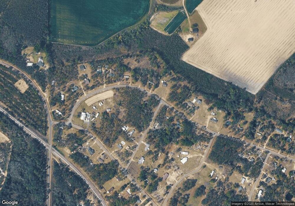
Map
Nearby Homes
- 0 Jamestown Rd Unit 26808022
- 0 Jamestown Rd Unit 10681006
- 0 Jamestown Rd Unit 26808024
- 0 Jamestown Rd Unit 1659420
- 0 Jamestown Rd Unit 26808025
- 0 Jamestown Rd Unit 26808023
- 0 Jamestown Rd Unit 26641656
- 0 Jamestown Rd Unit 25323571
- 1335 Clifford Loop
- 5560 Tara Rd
- 5690 Drusilla Ln
- 1501 Plantation Cir
- 5710 Wooddell Ridge Rd
- 5625 Wooddell Dr
- Lot 51 Ridge Loop Rd
- 2734 Woodridge Rd
- 4618 Old Waltertown Rd
- 5802 River Trail
- 5912 Yellow Bluff Rd
- 5641 Fleetwood Ln
- 4916 Fox Squirrel Dr
- 676 Pine Ridge Trail
- 658 Pine Ridge Trail
- 4929 Fox Squirrel Dr
- 698 Pine Ridge Trail
- 4934 Fox Squirrel Dr
- 4944 Fox Squirrel Dr
- 632 Pine Ridge Trail
- 630 Pine Ridge Trail
- 620 Satilla Trail
- 4911 Quail Trail
- 4931 Quail Trail
- 720 Pine Ridge Trail
- 637 Satilla Trail
- 620 Pine Ridge Trail
- 645 Satilla Trail
- 4947 Quail Trail
- 625 Satilla Trail
- 726 Pine Ridge Trail
- 614 Pine Ridge Trail
Your Personal Tour Guide
Ask me questions while you tour the home.