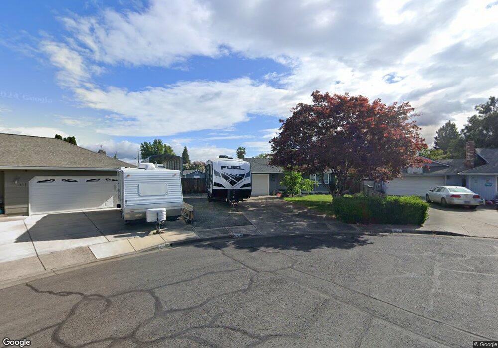
671 Prairie Rd Central Point, OR 97502
Estimated Value: $396,000 - $412,000
3
Beds
2
Baths
1,590
Sq Ft
$254/Sq Ft
Est. Value
About This Home
This home is located at 671 Prairie Rd, Central Point, OR 97502 and is currently estimated at $403,948, approximately $254 per square foot. 671 Prairie Rd is a home located in Jackson County with nearby schools including Central Point Elementary School, Scenic Middle School, and Crater High School.
Ownership History
Date
Name
Owned For
Owner Type
Purchase Details
Closed on
Dec 1, 2014
Sold by
Davidson Vivian F
Bought by
Davdison Vivian F
Current Estimated Value
Purchase Details
Closed on
Jan 9, 1998
Sold by
Davidson Harold V and Davidson Vivian F
Bought by
Davidson Harold and Davidson Vivian
Create a Home Valuation Report for This Property
The Home Valuation Report is an in-depth analysis detailing your home's value as well as a comparison with similar homes in the area
Purchase History
| Date | Buyer | Sale Price | Title Company |
|---|---|---|---|
| Davdison Vivian F | $113,945 | None Available | |
| Davidson Harold | -- | -- | |
| Davidson Harold | -- | -- |
Source: Public Records
Tax History
| Year | Tax Paid | Tax Assessment Tax Assessment Total Assessment is a certain percentage of the fair market value that is determined by local assessors to be the total taxable value of land and additions on the property. | Land | Improvement |
|---|---|---|---|---|
| 2026 | $3,887 | $234,880 | -- | -- |
| 2025 | $3,791 | $228,040 | $87,380 | $140,660 |
| 2024 | $3,791 | $221,400 | $84,830 | $136,570 |
| 2023 | $3,669 | $214,960 | $82,360 | $132,600 |
| 2022 | $3,584 | $214,960 | $82,360 | $132,600 |
| 2021 | $3,481 | $208,700 | $79,970 | $128,730 |
| 2020 | $3,380 | $202,630 | $77,640 | $124,990 |
| 2019 | $3,297 | $191,000 | $73,180 | $117,820 |
| 2018 | $3,196 | $185,440 | $71,050 | $114,390 |
| 2017 | $3,116 | $185,440 | $71,050 | $114,390 |
| 2016 | $3,025 | $174,800 | $66,980 | $107,820 |
| 2015 | $2,898 | $174,800 | $66,980 | $107,820 |
| 2014 | $2,824 | $164,770 | $63,130 | $101,640 |
Source: Public Records
Map
Nearby Homes
- 736 Hemlock Ave
- 3364 Bursell Rd
- 755 S 4th St
- 555 Freeman Rd Unit 73
- 555 Freeman Rd Unit 254
- 555 Freeman Rd Unit 105
- 555 Freeman Rd Unit 209
- 3358 Bursell Rd
- 1204 Heather Ln
- 533 Brittni Ln
- 918 Brandi Way
- 887 Silver Fox Dr
- 301 Freeman Rd Unit 30
- 301 Freeman Rd Unit 92
- 301 Freeman Rd Unit 91
- 114 Cedar St
- 959 Westrop Dr
- 1258 Joshua Ct
- 992 Glengrove Ave
- 1189 Lindsey Ct
- 681 Prairie Rd
- 661 Prairie Rd
- 661 Prairie Ct
- 660 Hopkins Rd
- 670 Hopkins Rd Unit 3
- 712 Sandra Ln
- 722 Sandra Ln
- 650 Hopkins Rd
- 680 Hopkins Rd
- 651 Prairie Rd
- 674 Prairie Rd
- 732 Sandra Ln
- 640 Hopkins Rd
- 662 Prairie Rd
- 742 Sandra Ln
- 662 Prairie Ct
- 641 Prairie Rd
- 654 Prairie Rd
- 630 Hopkins Rd
- 657 Hemlock Ave
Your Personal Tour Guide
Ask me questions while you tour the home.