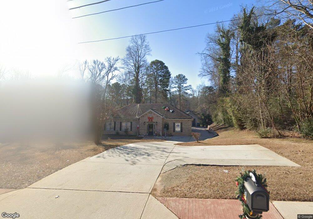
671 Rockbridge Rd NW Lilburn, GA 30047
Estimated Value: $364,000 - $401,000
3
Beds
3
Baths
1,479
Sq Ft
$259/Sq Ft
Est. Value
About This Home
This home is located at 671 Rockbridge Rd NW, Lilburn, GA 30047 and is currently estimated at $383,208, approximately $259 per square foot. 671 Rockbridge Rd NW is a home with nearby schools including Lilburn Elementary School, Lilburn Middle School, and Meadowcreek High School.
Ownership History
Date
Name
Owned For
Owner Type
Purchase Details
Closed on
Jul 30, 2001
Sold by
Laslie William W and Laslie Gail
Bought by
Husanovic Ismet and Husanovic Zubejda
Current Estimated Value
Home Financials for this Owner
Home Financials are based on the most recent Mortgage that was taken out on this home.
Original Mortgage
$141,300
Outstanding Balance
$53,667
Interest Rate
7.1%
Mortgage Type
FHA
Estimated Equity
$329,541
Create a Home Valuation Report for This Property
The Home Valuation Report is an in-depth analysis detailing your home's value as well as a comparison with similar homes in the area
Home Values in the Area
Average Home Value in this Area
Purchase History
| Date | Buyer | Sale Price | Title Company |
|---|---|---|---|
| Husanovic Ismet | $142,500 | -- |
Source: Public Records
Mortgage History
| Date | Status | Borrower | Loan Amount |
|---|---|---|---|
| Open | Husanovic Ismet | $141,300 |
Source: Public Records
Tax History Compared to Growth
Tax History
| Year | Tax Paid | Tax Assessment Tax Assessment Total Assessment is a certain percentage of the fair market value that is determined by local assessors to be the total taxable value of land and additions on the property. | Land | Improvement |
|---|---|---|---|---|
| 2025 | $3,198 | $119,240 | $18,000 | $101,240 |
| 2024 | $3,316 | $119,240 | $18,000 | $101,240 |
| 2023 | $3,316 | $119,240 | $18,000 | $101,240 |
| 2022 | $2,906 | $101,480 | $12,000 | $89,480 |
| 2021 | $2,959 | $101,480 | $12,000 | $89,480 |
| 2020 | $2,981 | $101,480 | $12,000 | $89,480 |
| 2019 | $2,606 | $86,320 | $15,200 | $71,120 |
| 2018 | $2,608 | $86,320 | $15,200 | $71,120 |
| 2016 | $2,162 | $64,720 | $10,800 | $53,920 |
| 2015 | $2,180 | $64,720 | $10,800 | $53,920 |
| 2014 | -- | $62,800 | $8,000 | $54,800 |
Source: Public Records
Map
Nearby Homes
- 640 Belgrave Ln
- 516 Jordan Dr NW
- 950 Walnut Creek Dr NW Unit 2
- 660 Belgrave Ln
- 5444 Wylstream
- 461 Little John Dr NW
- 561 Pebble Creek Dr
- 5681 Williams Rd
- 5738 Brooklyn Ln
- 570 Candlewick Ln NW
- 464 Rams Ct
- 723 Inland Way NW
- 5622 Williamsburg Dr
- 0 Harbins Rd NW Unit 7598091
- 5410 Nathan Dr NW
- 478 Commons Park Ln
- 6064 Wandering Way Unit 1
- 6043 Rolling Way
- 6009 Mark Trail Unit 2
- 10 Rock Park Way Unit 17
- 665 Rockbridge Rd NW
- 681 Rockbridge Rd NW
- 5708 Darry Cir
- 5709 Darry Cir
- 740 Jackson Bank Place NW
- 730 Jackson Bank Place NW
- 720 Jackson Bank Place NW Unit 1
- 695 Rockbridge Rd NW
- 750 Jackson Bank Place NW Unit 1
- 710 Jackson Bank Place NW
- 0 Darry Cir
- 0 Darry Cir Unit 8431416
- 5718 Darry Cir
- 735 Jackson Bank Place NW
- 760 Jackson Bank Place NW Unit 1
- 5719 Darry Cir
- 700 Jackson Bank Place NW
- 5728 Darry Cir
- 705 Jackson Bank Place NW Unit 1
- 684 Alvis Ln