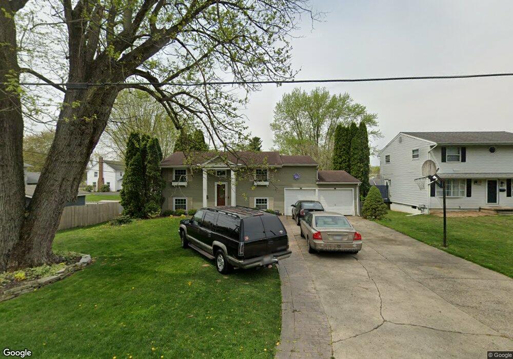
671 Sharon Valley Rd Newark, OH 43055
Estimated Value: $225,000 - $266,000
4
Beds
2
Baths
1,200
Sq Ft
$206/Sq Ft
Est. Value
About This Home
This home is located at 671 Sharon Valley Rd, Newark, OH 43055 and is currently estimated at $247,239, approximately $206 per square foot. 671 Sharon Valley Rd is a home located in Licking County with nearby schools including John Clem Elementary School, Liberty Middle School, and Newark High School.
Ownership History
Date
Name
Owned For
Owner Type
Purchase Details
Closed on
Mar 7, 2014
Sold by
Crow Amanda and Scott Amanda J
Bought by
Scott Amanda J and Scott Johnifer L
Current Estimated Value
Purchase Details
Closed on
Aug 3, 2001
Sold by
Bell William R
Bought by
Crow Amanda
Home Financials for this Owner
Home Financials are based on the most recent Mortgage that was taken out on this home.
Original Mortgage
$94,905
Outstanding Balance
$36,994
Interest Rate
7.14%
Mortgage Type
New Conventional
Estimated Equity
$210,245
Create a Home Valuation Report for This Property
The Home Valuation Report is an in-depth analysis detailing your home's value as well as a comparison with similar homes in the area
Home Values in the Area
Average Home Value in this Area
Purchase History
| Date | Buyer | Sale Price | Title Company |
|---|---|---|---|
| Scott Amanda J | -- | None Available | |
| Crow Amanda | $99,900 | -- |
Source: Public Records
Mortgage History
| Date | Status | Borrower | Loan Amount |
|---|---|---|---|
| Open | Crow Amanda | $94,905 |
Source: Public Records
Tax History Compared to Growth
Tax History
| Year | Tax Paid | Tax Assessment Tax Assessment Total Assessment is a certain percentage of the fair market value that is determined by local assessors to be the total taxable value of land and additions on the property. | Land | Improvement |
|---|---|---|---|---|
| 2024 | $2,016 | $56,390 | $20,200 | $36,190 |
| 2023 | $1,007 | $56,390 | $20,200 | $36,190 |
| 2022 | $1,627 | $40,530 | $13,090 | $27,440 |
| 2021 | $1,706 | $40,530 | $13,090 | $27,440 |
| 2020 | $1,744 | $40,530 | $13,090 | $27,440 |
| 2019 | $1,395 | $31,190 | $10,080 | $21,110 |
| 2018 | $1,396 | $0 | $0 | $0 |
| 2017 | $1,337 | $0 | $0 | $0 |
| 2016 | $209 | $0 | $0 | $0 |
| 2015 | $952 | $0 | $0 | $0 |
| 2014 | $59 | $0 | $0 | $0 |
| 2013 | $1,701 | $0 | $0 | $0 |
Source: Public Records
Map
Nearby Homes
- 752 Maxola Ave
- 632 Granville Rd
- 711 Sherwick Rd
- 712 Stone Ridge Way
- 594 N 21st St
- 565 Granville St
- 855 E Village Dr
- 562 Jutlew Rd
- 188 Meadow Dr
- 184 Meadow Dr
- 533 Leslie Dr
- 810 Walker St
- 584 Moull St Unit A
- 913 Roosevelt Ct
- 473 Meadowbrook Dr
- 863 Shelbourne Place Unit 863
- 408 Granville St
- 892 Shelbourne Place Unit 892
- 36 Hall Ave
- 440 Reverie Place
- 677 Sharon Valley Rd
- 727 Maxola Ave
- 718 Granville Rd
- 700 Granville Rd
- 724 Granville Rd
- 733 Maxola Ave
- 689 Sharon Valley Rd
- 734 Granville Rd
- 737 Maxola Ave
- 730 Maxola Ave
- 695 Sharon Valley Rd
- 674 Sharon Valley Rd
- 684 Sharon Valley Rd
- 742 Granville Rd
- 642 Granville Rd
- 747 Maxola Ave
- 736 Maxola Ave
- 701 Sharon Valley Rd
- 688 Sharon Valley Rd
- 694 Sharon Valley Rd