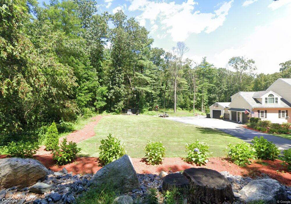
671 Sudbury St Marlborough, MA 01752
Estimated Value: $939,000 - $1,014,000
4
Beds
3
Baths
3,217
Sq Ft
$304/Sq Ft
Est. Value
About This Home
This home is located at 671 Sudbury St, Marlborough, MA 01752 and is currently estimated at $977,769, approximately $303 per square foot. 671 Sudbury St is a home located in Middlesex County with nearby schools including Marlborough High School, New Covenant Christian School, and Glenhaven Academy - JRI School.
Ownership History
Date
Name
Owned For
Owner Type
Purchase Details
Closed on
Jun 18, 1993
Sold by
Wilhelm Douglas M and Wilhelm Barbara L
Bought by
Mager Paul J and Mager Ellen J
Current Estimated Value
Home Financials for this Owner
Home Financials are based on the most recent Mortgage that was taken out on this home.
Original Mortgage
$248,000
Interest Rate
7.38%
Mortgage Type
Purchase Money Mortgage
Create a Home Valuation Report for This Property
The Home Valuation Report is an in-depth analysis detailing your home's value as well as a comparison with similar homes in the area
Home Values in the Area
Average Home Value in this Area
Purchase History
| Date | Buyer | Sale Price | Title Company |
|---|---|---|---|
| Mager Paul J | $310,000 | -- | |
| Mager Paul J | $310,000 | -- |
Source: Public Records
Mortgage History
| Date | Status | Borrower | Loan Amount |
|---|---|---|---|
| Open | Mager Paul J | $89,026 | |
| Open | Mager Paul J | $195,000 | |
| Closed | Mager Paul J | $248,000 |
Source: Public Records
Tax History Compared to Growth
Tax History
| Year | Tax Paid | Tax Assessment Tax Assessment Total Assessment is a certain percentage of the fair market value that is determined by local assessors to be the total taxable value of land and additions on the property. | Land | Improvement |
|---|---|---|---|---|
| 2025 | $8,571 | $869,300 | $248,700 | $620,600 |
| 2024 | $8,238 | $804,500 | $226,900 | $577,600 |
| 2023 | $7,922 | $686,500 | $197,700 | $488,800 |
| 2022 | $7,665 | $584,200 | $189,000 | $395,200 |
| 2021 | $6,265 | $558,500 | $159,400 | $399,100 |
| 2020 | $9,117 | $534,300 | $152,400 | $381,900 |
| 2019 | $7,321 | $520,300 | $149,800 | $370,500 |
| 2018 | $7,350 | $502,400 | $138,900 | $363,500 |
| 2017 | $7,600 | $496,100 | $141,100 | $355,000 |
| 2016 | $7,500 | $488,900 | $141,100 | $347,800 |
| 2015 | $8,337 | $529,000 | $146,000 | $383,000 |
Source: Public Records
Map
Nearby Homes
- 618 Sudbury St
- 551 Sudbury St
- 168 Blanchette Dr
- 3 Stonehill Rd
- 16 Minehan Ln
- 17 Mcneil Cir
- 28 Stetson Dr
- 1 Red Oak Dr
- 38 Collins Dr
- 492 Stow Rd
- 33A Russo Dr
- 274 Naugler Ave
- 3 Lakeside Ave
- 12 Temple Ave
- 137 Naugler Ave
- 14 Old County Rd Unit 21
- 10 Old County Rd Unit 19
- 786 Main St
- 114 Linda Cir
- 1 Town Line Rd Unit 18
- 661 Sudbury St
- 637 Sudbury St
- 637 Sudbury St Unit 637
- 1025 Concord Rd
- 1011 Concord Rd
- 1061 Concord Rd
- 654 Sudbury St
- 1039 Concord Rd
- 621 Sudbury St
- 1024 Concord Rd
- 634 Sudbury St
- 230 Blanchette Dr
- 1036 Concord Rd
- 1010 Concord Rd
- 89 Mosher Ln
- 1000 Concord Rd
- 85 Mosher Ln
- 607 Sudbury St
- 209 Blanchette Dr
- 28 Jackson Cir