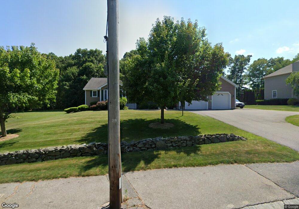
671 Whetstone Hill Rd Somerset, MA 02726
Pottersville NeighborhoodEstimated Value: $792,000 - $846,000
4
Beds
3
Baths
2,546
Sq Ft
$320/Sq Ft
Est. Value
About This Home
This home is located at 671 Whetstone Hill Rd, Somerset, MA 02726 and is currently estimated at $814,218, approximately $319 per square foot. 671 Whetstone Hill Rd is a home located in Bristol County with nearby schools including North Elementary School, Somerset Middle School, and SCEC Life Academy.
Ownership History
Date
Name
Owned For
Owner Type
Purchase Details
Closed on
Aug 8, 2011
Sold by
Oliveira Mary and Oliveira David P
Bought by
Oliveira Mary and Oliveira David P
Current Estimated Value
Purchase Details
Closed on
May 8, 2001
Sold by
Lopes Whetstone Rt and Lopes John F
Bought by
Oliveira David P and Oliveira Mary
Create a Home Valuation Report for This Property
The Home Valuation Report is an in-depth analysis detailing your home's value as well as a comparison with similar homes in the area
Home Values in the Area
Average Home Value in this Area
Purchase History
| Date | Buyer | Sale Price | Title Company |
|---|---|---|---|
| Oliveira Mary | -- | None Available | |
| Oliveira Mary | -- | None Available | |
| Oliveira David P | $95,000 | -- | |
| Oliveira David P | $95,000 | -- |
Source: Public Records
Mortgage History
| Date | Status | Borrower | Loan Amount |
|---|---|---|---|
| Previous Owner | Oliveira David P | $200,000 |
Source: Public Records
Tax History Compared to Growth
Tax History
| Year | Tax Paid | Tax Assessment Tax Assessment Total Assessment is a certain percentage of the fair market value that is determined by local assessors to be the total taxable value of land and additions on the property. | Land | Improvement |
|---|---|---|---|---|
| 2025 | $9,674 | $727,400 | $191,700 | $535,700 |
| 2024 | $9,020 | $705,200 | $191,700 | $513,500 |
| 2023 | $7,999 | $630,800 | $167,100 | $463,700 |
| 2022 | $7,460 | $561,300 | $145,600 | $415,700 |
| 2021 | $7,563 | $515,200 | $132,600 | $382,600 |
| 2020 | $7,301 | $479,700 | $132,600 | $347,100 |
| 2019 | $8,052 | $441,200 | $132,600 | $308,600 |
| 2018 | $7,369 | $434,500 | $132,600 | $301,900 |
| 2017 | $7,129 | $409,700 | $126,600 | $283,100 |
| 2016 | $7,174 | $409,700 | $126,600 | $283,100 |
| 2015 | $6,640 | $382,700 | $120,900 | $261,800 |
| 2014 | $9,160 | $379,300 | $117,500 | $261,800 |
Source: Public Records
Map
Nearby Homes
- 64 Denham Ave
- 69 Denham Ave
- 435 Fairway Dr
- 107 Manchester Ave
- 259 Lynch Ave
- 65 Marvel St
- 601 Eastview Ave
- 112 Rounseville Ave
- 154 Tess Abigail Ln
- 2546 County St
- 190 Gibbs St
- 165 Yankee Peddler Dr
- 64 Midland Rd
- 239 Maple St
- 138 Bourn Ave
- 95 Brookside Rd
- 224 Chace St
- 604 Lafayette St
- 0 Palmer St
- 3076 County St
- 695 Whetstone Hill Rd
- 725 Whetstone Hill Rd
- 10 Moffitt Ave
- 0 Windward Dr
- 4 Windward Dr
- 12 Moffitt Ave
- 615 Whetstone Hill Rd
- 746 Whetstone Hill Rd
- 5 Moffitt Ave
- 777 Whetstone Hill Rd
- 7 Moffitt Ave
- 14 Moffitt Ave
- 9 Moffitt Ave
- 583 Whetstone Hill Rd
- 11 Moffitt Ave
- 958 Regan Rd
- 12 Calvin Ave
- 12 Samson Ave
- 32 Calvin Ave
- 809 Whetstone Hill Rd