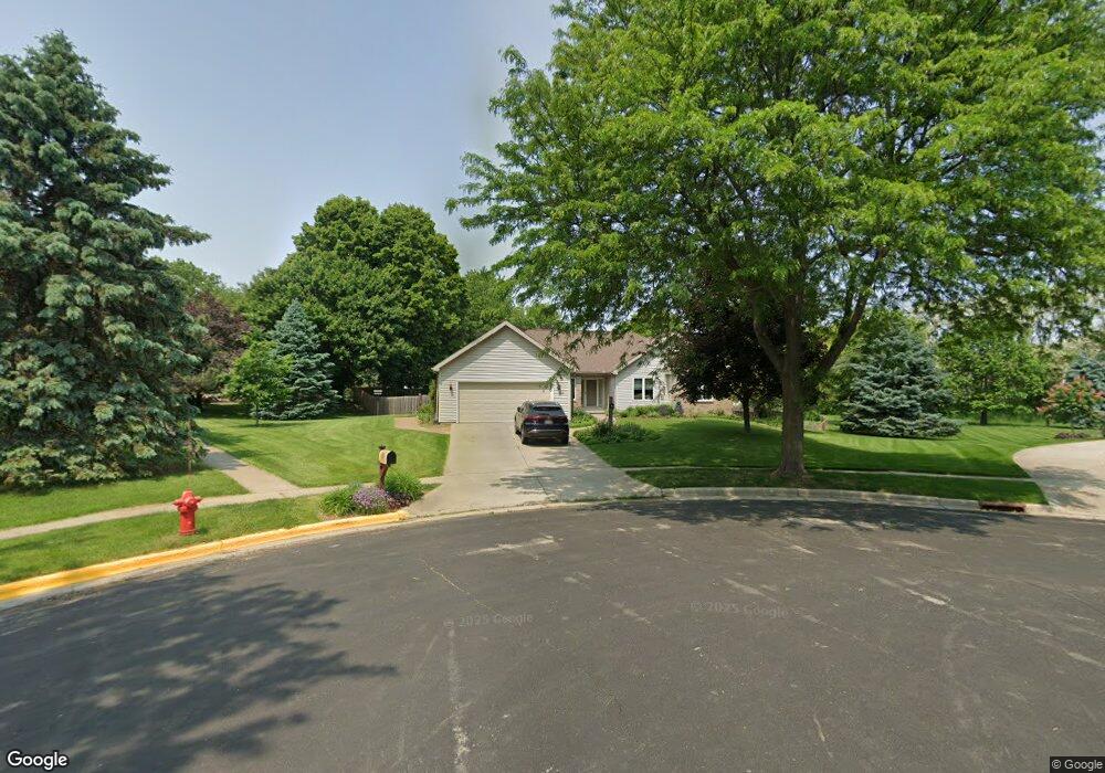
6710 Clovernook Cir Middleton, WI 53562
Stonefield NeighborhoodEstimated Value: $669,000 - $1,018,000
3
Beds
2
Baths
1,926
Sq Ft
$446/Sq Ft
Est. Value
About This Home
This home is located at 6710 Clovernook Cir, Middleton, WI 53562 and is currently estimated at $858,520, approximately $445 per square foot. 6710 Clovernook Cir is a home located in Dane County with nearby schools including Elm Lawn Elementary School, Kromrey Middle School, and Middleton High School.
Ownership History
Date
Name
Owned For
Owner Type
Purchase Details
Closed on
Jul 21, 2021
Sold by
Livesey Michael A and Keane Delwyn P
Bought by
Livesey Michael A and Keane Delwyn P
Current Estimated Value
Create a Home Valuation Report for This Property
The Home Valuation Report is an in-depth analysis detailing your home's value as well as a comparison with similar homes in the area
Home Values in the Area
Average Home Value in this Area
Purchase History
| Date | Buyer | Sale Price | Title Company |
|---|---|---|---|
| Livesey Michael A | -- | None Available |
Source: Public Records
Tax History Compared to Growth
Tax History
| Year | Tax Paid | Tax Assessment Tax Assessment Total Assessment is a certain percentage of the fair market value that is determined by local assessors to be the total taxable value of land and additions on the property. | Land | Improvement |
|---|---|---|---|---|
| 2024 | $11,299 | $635,500 | $163,600 | $471,900 |
| 2023 | $10,498 | $635,500 | $163,600 | $471,900 |
| 2021 | $10,100 | $508,100 | $163,700 | $344,400 |
| 2020 | $10,215 | $508,100 | $163,700 | $344,400 |
| 2019 | $9,628 | $508,100 | $163,700 | $344,400 |
| 2018 | $8,860 | $508,100 | $163,700 | $344,400 |
| 2017 | $8,954 | $445,700 | $156,300 | $289,400 |
| 2016 | $8,707 | $436,900 | $156,300 | $280,600 |
| 2015 | $8,905 | $436,900 | $156,300 | $280,600 |
| 2014 | $8,796 | $408,000 | $129,300 | $278,700 |
| 2013 | $7,771 | $408,000 | $129,300 | $278,700 |
Source: Public Records
Map
Nearby Homes
- 1222 N Gammon Rd
- 1030 Rooster Run Unit 19
- 7009 Fortune Dr
- 6341 Briarcliff Ln
- 6829 Cooper Ave
- 2 Hidden Hollow Trail
- 6233 Countryside Ln
- 6322 Elmwood Ave
- 30 Morningdale Cir
- 7403 Elmwood Ave
- 6251 Charing Cross Ln Unit D
- 6242 University Ave
- 21 Torrey Pines Ct
- 0 Parmenter St Unit 2009257
- 6907 Old Sauk Ct
- 2146 Allen Blvd Unit 3
- 2051 Allen Blvd Unit 402
- 517 Isle Royal Dr
- 6205 Mendota Ave
- 1705 Camelot Dr
- 6706 Clovernook Cir
- 1226 N Gammon Rd
- 6709 Clovernook Cir
- 1228 N Gammon Rd Unit 1228
- 1230 N Gammon Rd
- 1232 N Gammon Rd
- 1220 N Gammon Rd
- 1234 N Gammon Rd
- 1236 N Gammon Rd
- 1238 N Gammon Rd
- 6702 Clovernook Cir
- 1218 N Gammon Rd
- 1240 N Gammon Rd
- 1003 Rooster Run
- 6705 Clovernook Cir
- 1035 Rooster Run
- 1037 Rooster Run
- 1204 N Gammon Rd Unit 1204
- 1202 N Gammon Rd
- 6701 Clovernook Cir