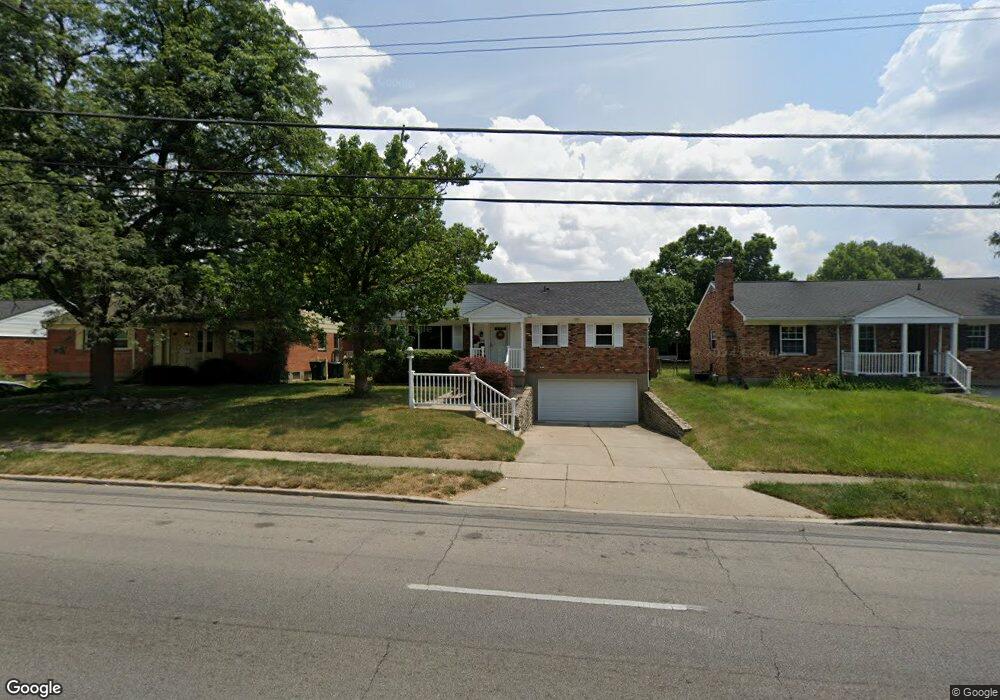
6710 Daly Rd Cincinnati, OH 45224
College Hill NeighborhoodEstimated Value: $237,000 - $246,000
3
Beds
2
Baths
1,689
Sq Ft
$143/Sq Ft
Est. Value
About This Home
This home is located at 6710 Daly Rd, Cincinnati, OH 45224 and is currently estimated at $240,711, approximately $142 per square foot. 6710 Daly Rd is a home located in Hamilton County with nearby schools including Pleasant Hill Elementary School, Western Hills High School, and Gilbert A. Dater High School.
Ownership History
Date
Name
Owned For
Owner Type
Purchase Details
Closed on
Aug 16, 2019
Sold by
Mccall Glass O and Mccall James
Bought by
Anderson Erika D and Tero Glass O
Current Estimated Value
Purchase Details
Closed on
Aug 15, 2019
Sold by
Anderson Erika D
Bought by
Mccaal Glass O and Mccaal James
Purchase Details
Closed on
Jan 22, 1999
Sold by
Edith Martin and Anderson Erika D
Bought by
Martin Edith
Home Financials for this Owner
Home Financials are based on the most recent Mortgage that was taken out on this home.
Original Mortgage
$65,380
Interest Rate
6.75%
Create a Home Valuation Report for This Property
The Home Valuation Report is an in-depth analysis detailing your home's value as well as a comparison with similar homes in the area
Home Values in the Area
Average Home Value in this Area
Purchase History
| Date | Buyer | Sale Price | Title Company |
|---|---|---|---|
| Anderson Erika D | -- | None Available | |
| Mccaal Glass O | -- | None Available | |
| Martin Edith | -- | -- |
Source: Public Records
Mortgage History
| Date | Status | Borrower | Loan Amount |
|---|---|---|---|
| Closed | Martin Edith | $65,380 |
Source: Public Records
Tax History
| Year | Tax Paid | Tax Assessment Tax Assessment Total Assessment is a certain percentage of the fair market value that is determined by local assessors to be the total taxable value of land and additions on the property. | Land | Improvement |
|---|---|---|---|---|
| 2025 | $3,690 | $59,738 | $11,879 | $47,859 |
| 2024 | $3,578 | $59,738 | $11,879 | $47,859 |
| 2023 | $3,658 | $59,738 | $11,879 | $47,859 |
| 2022 | $2,481 | $36,250 | $9,671 | $26,579 |
| 2021 | $2,384 | $36,250 | $9,671 | $26,579 |
| 2020 | $1,861 | $36,250 | $9,671 | $26,579 |
| 2019 | $1,701 | $31,798 | $8,484 | $23,314 |
| 2018 | $1,704 | $31,798 | $8,484 | $23,314 |
| 2017 | $1,611 | $31,798 | $8,484 | $23,314 |
| 2016 | $1,823 | $34,559 | $9,051 | $25,508 |
| 2015 | $1,651 | $34,559 | $9,051 | $25,508 |
| 2014 | $1,664 | $34,559 | $9,051 | $25,508 |
| 2013 | $1,763 | $35,627 | $9,331 | $26,296 |
Source: Public Records
Map
Nearby Homes
- 6669 Kirkland Dr
- 7811 Bitteroot Ln
- 6577 Kirkland Dr
- 6538 S Oak Knoll Dr
- 1165 W Galbraith Rd
- 7873 Bobolink Dr
- 7923 Bobolink Dr
- 1280 Brushwood Ave
- 7929 Cherrywood Ct
- 1291 W Galbraith Rd
- 6629 Charann Ln
- 7214 Greenfarms Dr
- 6924 Clovernook Ave
- 1382 W Galbraith Rd
- 1088 Pinehollow Ln
- 1058 Pinehollow Ln
- 6728 Sandalwood Ln
- 1472 Larrywood Ln
- 1006 Hearthstone Dr
- 6785 Marvin Ave
Your Personal Tour Guide
Ask me questions while you tour the home.