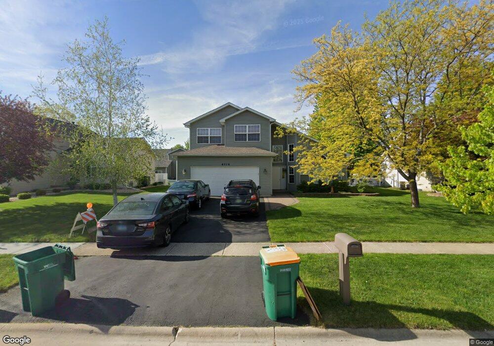
6710 Langsford Ln Plainfield, IL 60586
Fall Creek NeighborhoodEstimated Value: $396,000 - $441,000
4
Beds
4
Baths
2,400
Sq Ft
$174/Sq Ft
Est. Value
About This Home
This home is located at 6710 Langsford Ln, Plainfield, IL 60586 and is currently estimated at $417,905, approximately $174 per square foot. 6710 Langsford Ln is a home located in Will County with nearby schools including Meadow View Elementary School, Aux Sable Middle School, and Plainfield South High School.
Ownership History
Date
Name
Owned For
Owner Type
Purchase Details
Closed on
Mar 2, 2007
Sold by
Labanowski Frank J and Labanowski Valerie S
Bought by
Ruge Christopher W and Ruge Emily A
Current Estimated Value
Create a Home Valuation Report for This Property
The Home Valuation Report is an in-depth analysis detailing your home's value as well as a comparison with similar homes in the area
Home Values in the Area
Average Home Value in this Area
Purchase History
| Date | Buyer | Sale Price | Title Company |
|---|---|---|---|
| Ruge Christopher W | $243,000 | First American Title Ins Co |
Source: Public Records
Tax History Compared to Growth
Tax History
| Year | Tax Paid | Tax Assessment Tax Assessment Total Assessment is a certain percentage of the fair market value that is determined by local assessors to be the total taxable value of land and additions on the property. | Land | Improvement |
|---|---|---|---|---|
| 2024 | $8,069 | $120,360 | $24,935 | $95,425 |
| 2023 | $8,069 | $108,707 | $22,521 | $86,186 |
| 2022 | $7,196 | $97,633 | $20,227 | $77,406 |
| 2021 | $6,823 | $91,246 | $18,904 | $72,342 |
| 2020 | $6,720 | $88,658 | $18,368 | $70,290 |
| 2019 | $6,486 | $84,477 | $17,502 | $66,975 |
| 2018 | $6,491 | $82,722 | $16,444 | $66,278 |
| 2017 | $6,298 | $78,611 | $15,627 | $62,984 |
| 2016 | $6,171 | $74,975 | $14,904 | $60,071 |
| 2015 | $5,760 | $70,235 | $13,962 | $56,273 |
| 2014 | $5,760 | $67,755 | $13,469 | $54,286 |
| 2013 | $5,760 | $67,755 | $13,469 | $54,286 |
Source: Public Records
Map
Nearby Homes
- 6517 Langsford Ln
- 2617 Ruth Fitzgerald Dr Unit 7
- 6981 Paradise Cir Unit 2
- 2573 Canyon Dr Unit 310
- 2625 Canyon Dr Unit 830
- 0001 S State Route 59
- 0002 S State Route 59
- BELLAMY Plan at Ashford Place
- COVENTRY Plan at Ashford Place
- HENLEY Plan at Ashford Place
- HOLCOMBE Plan at Ashford Place
- HAVEN Plan at Ashford Place
- 6507 Goldhaber Ln Unit 15
- 3007 Art Schultz Dr
- 6910 Manchester Dr
- 6615 Bazz Dr
- 6304 Southridge Dr
- 25602 W Cerena Cir
- 2042 Legacy Pointe Blvd
- 25424 W Ashton Dr
- 6712 Langsford Ln
- 6708 Langsford Ln
- 2655 Stonebridge Ct Unit 5
- 6714 Langsford Ln
- 6706 Langsford Ln Unit 5
- 2706 Adobe Dr
- 6716 Langsford Ln
- 2653 Stonebridge Ct Unit 5
- 2705 Stonebridge Dr
- 2708 Adobe Dr
- 2705 Adobe Dr
- 2707 Stonebridge Dr
- 2651 Stonebridge Ct
- 2707 Adobe Dr
- 2710 Adobe Dr
- 2700 Discovery Dr
- 2702 Stonebridge Ct
- 2700 Stonebridge Ct Unit 5
- 2709 Stonebridge Dr Unit 2
- 2708 Discovery Dr