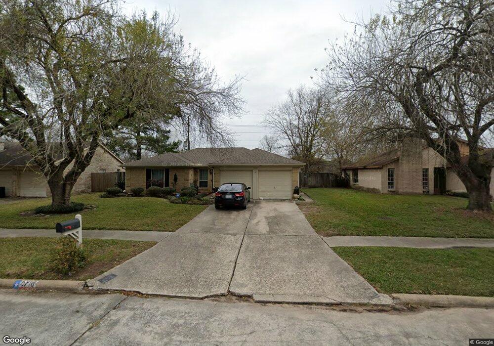
6710 Northleaf Dr Houston, TX 77086
North Houston NeighborhoodEstimated Value: $212,000 - $224,000
3
Beds
2
Baths
1,443
Sq Ft
$151/Sq Ft
Est. Value
About This Home
This home is located at 6710 Northleaf Dr, Houston, TX 77086 and is currently estimated at $217,832, approximately $150 per square foot. 6710 Northleaf Dr is a home located in Harris County with nearby schools including Kujawa EC/Pre-K/K School, Carmichael Elementary School, and Shotwell Middle School.
Ownership History
Date
Name
Owned For
Owner Type
Purchase Details
Closed on
Jun 23, 2017
Sold by
Roper Richard W and Roper Glenda S
Bought by
Bedigan Anita G
Current Estimated Value
Home Financials for this Owner
Home Financials are based on the most recent Mortgage that was taken out on this home.
Original Mortgage
$131,572
Outstanding Balance
$109,530
Interest Rate
4.05%
Mortgage Type
FHA
Estimated Equity
$108,302
Create a Home Valuation Report for This Property
The Home Valuation Report is an in-depth analysis detailing your home's value as well as a comparison with similar homes in the area
Home Values in the Area
Average Home Value in this Area
Purchase History
| Date | Buyer | Sale Price | Title Company |
|---|---|---|---|
| Bedigan Anita G | -- | None Available |
Source: Public Records
Mortgage History
| Date | Status | Borrower | Loan Amount |
|---|---|---|---|
| Open | Bedigan Anita G | $131,572 |
Source: Public Records
Tax History Compared to Growth
Tax History
| Year | Tax Paid | Tax Assessment Tax Assessment Total Assessment is a certain percentage of the fair market value that is determined by local assessors to be the total taxable value of land and additions on the property. | Land | Improvement |
|---|---|---|---|---|
| 2025 | $1,583 | $194,316 | $39,283 | $155,033 |
| 2024 | $1,583 | $203,337 | $39,283 | $164,054 |
| 2023 | $1,583 | $207,175 | $39,283 | $167,892 |
| 2022 | $4,248 | $174,504 | $33,291 | $141,213 |
| 2021 | $3,544 | $145,936 | $33,291 | $112,645 |
| 2020 | $3,735 | $138,368 | $33,291 | $105,077 |
| 2019 | $3,674 | $130,893 | $16,974 | $113,919 |
| 2018 | $1,784 | $124,259 | $16,974 | $107,285 |
| 2017 | $2,439 | $116,412 | $15,242 | $101,170 |
| 2016 | $2,218 | $105,655 | $15,242 | $90,413 |
| 2015 | $813 | $98,363 | $15,242 | $83,121 |
| 2014 | $813 | $74,639 | $15,242 | $59,397 |
Source: Public Records
Map
Nearby Homes
- 11006 Crinkleawn Dr
- 6654 Brownie Campbell Rd
- 11021 Crenchrus Ct
- 11009 Panicum Ct
- 11007 Tobasa Ct
- 6610 Northleaf Dr
- 6630 Brownie Campbell Rd
- 6722 Winding Trace Dr
- 6615 Winding Trace Dr
- 7002 Sandswept Ln
- 10522 Northview Dr
- 7023 Sandswept Ln
- 7218 Winding Trace Dr
- 7222 Northleaf Dr
- 6502 Trail Valley Way
- 7227 Greenyard Dr
- 6911 Silver Star Dr
- 10614 Mackenzie Dr
- 10711 Heather Hill Dr
- 10306 Jillana Kaye Dr
- 6706 Northleaf Dr
- 6714 Northleaf Dr
- 6702 Northleaf Dr
- 10810 Coralstone Rd
- 10815 Misty River Dr
- 6718 Northleaf Dr
- 6646 Northleaf Dr
- 10806 Coralstone Rd
- 10815 Coralstone Rd
- 10811 Misty River Dr
- 6727 Greenyard Dr
- 6642 Northleaf Dr
- 6725 Greenyard Dr
- 6729 Greenyard Dr
- 6723 Greenyard Dr
- 6731 Greenyard Dr
- 6721 Greenyard Dr
- 6733 Greenyard Dr
- 10811 Coralstone Rd
- 6735 Greenyard Dr