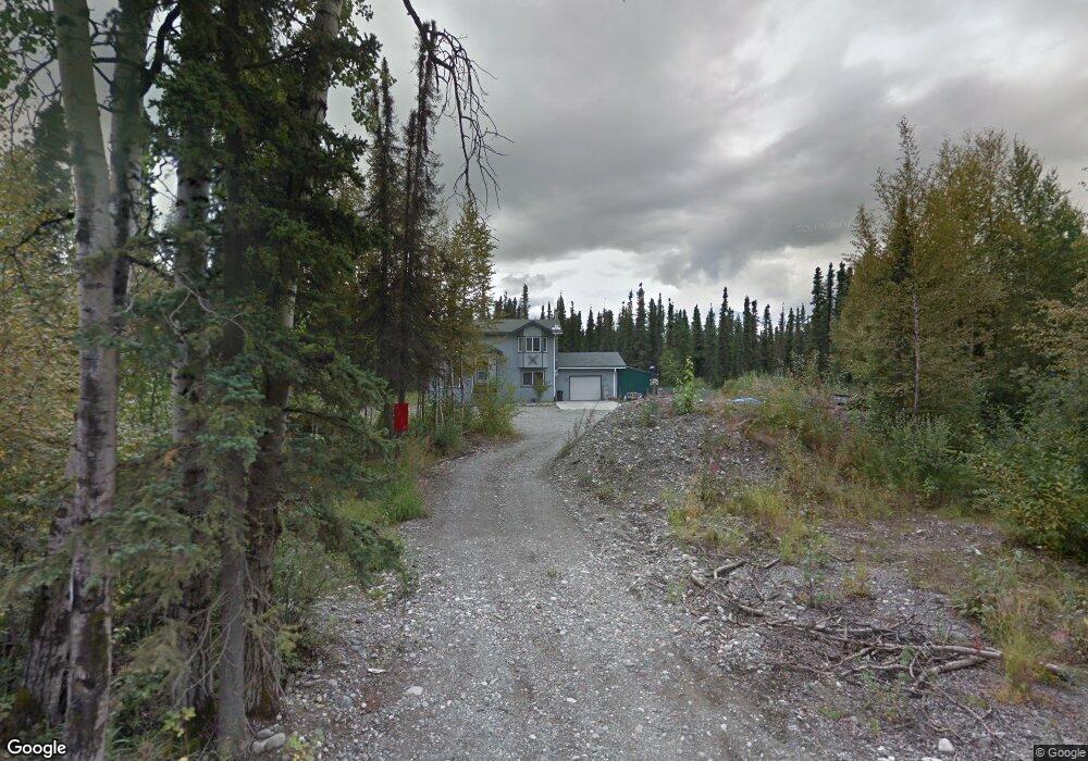
6710 W Silver Dr Wasilla, AK 99623
Estimated Value: $323,000 - $409,444
3
Beds
2
Baths
1,782
Sq Ft
$208/Sq Ft
Est. Value
About This Home
This home is located at 6710 W Silver Dr, Wasilla, AK 99623 and is currently estimated at $370,111, approximately $207 per square foot. 6710 W Silver Dr is a home located in Matanuska-Susitna Borough with nearby schools including Meadow Lakes Elementary School, Houston Middle School, and Houston High School.
Ownership History
Date
Name
Owned For
Owner Type
Purchase Details
Closed on
Feb 25, 2005
Sold by
Steve Orr Construction Llc
Bought by
Davison Daniel D and Davison Roseanna M
Current Estimated Value
Home Financials for this Owner
Home Financials are based on the most recent Mortgage that was taken out on this home.
Original Mortgage
$142,265
Outstanding Balance
$72,697
Interest Rate
5.73%
Mortgage Type
FHA
Estimated Equity
$297,414
Purchase Details
Closed on
Apr 27, 2004
Sold by
Battley Kenneth
Bought by
Steve Orr Construction Llc
Create a Home Valuation Report for This Property
The Home Valuation Report is an in-depth analysis detailing your home's value as well as a comparison with similar homes in the area
Home Values in the Area
Average Home Value in this Area
Purchase History
| Date | Buyer | Sale Price | Title Company |
|---|---|---|---|
| Davison Daniel D | -- | Mat Su Title Ins Agency Inc | |
| Steve Orr Construction Llc | -- | -- |
Source: Public Records
Mortgage History
| Date | Status | Borrower | Loan Amount |
|---|---|---|---|
| Open | Davison Daniel D | $142,265 |
Source: Public Records
Tax History Compared to Growth
Tax History
| Year | Tax Paid | Tax Assessment Tax Assessment Total Assessment is a certain percentage of the fair market value that is determined by local assessors to be the total taxable value of land and additions on the property. | Land | Improvement |
|---|---|---|---|---|
| 2025 | $4,230 | $347,700 | $27,000 | $320,700 |
| 2024 | $4,230 | $331,000 | $27,000 | $304,000 |
| 2023 | $3,928 | $317,200 | $27,000 | $290,200 |
| 2022 | $3,811 | $288,100 | $27,000 | $261,100 |
| 2021 | $3,733 | $256,300 | $27,000 | $229,300 |
| 2020 | $3,609 | $240,200 | $27,000 | $213,200 |
| 2019 | $3,528 | $232,900 | $27,000 | $205,900 |
| 2018 | $3,463 | $229,800 | $27,000 | $202,800 |
| 2017 | $3,442 | $228,400 | $27,000 | $201,400 |
| 2016 | $3,359 | $228,500 | $27,000 | $201,500 |
| 2015 | $2,985 | $218,400 | $27,000 | $191,400 |
| 2014 | $2,985 | $217,200 | $27,000 | $190,200 |
Source: Public Records
Map
Nearby Homes
- 7202 W Flying Crown Dr
- 7285 W Silver Dr
- 4101 N El Taino Dr
- 7076 N Sunset Dr
- 2211 Pittman Rd
- 5151 W Greensward Dr
- 3790 N Wyoming Dr
- 3340 N Double Bother Cir
- 4011 N Coronado St
- 3900 N Miramar St
- C001 Pittman Rd
- 3671 N Coronado St
- 3291 N Edgewater Dr
- 7430 W Dean Dr
- 4179 W Alliance Dr
- C005 W Petutti Cir
- 5213 W Bryce Cir
- 5202 W Bryce Cir
- 2411 N Friar Tuck Ct
- 2800 N Alma Dr
- 6710 W Silver Dr
- 2890 N Pittman Rd
- 2899 N Pittman Rd
- 2899 Pittman Rd
- 6721 W Silver Dr
- 6880 W Silver Dr
- 6801 W Silver Dr
- L4 B1 W Queen Anne Ave
- 4520 N Sasbo Bluff Dr
- L1 B1 W Queen Anne Ave
- 6885 W Flying Crown Dr
- 4540 Sasbo Bluff
- 4540 N Sasbo Bluff Dr
- 6695 W Queen Anne Ave Unit 1
- 6791 W Flying Crown Dr
- 6960 W Silver Dr
- L5 B1 W Queen Anne Ave
- 3057 N Pittman Rd
- L1 B2 W Queen Anne Ave
- L2 B1 W Queen Anne Ave