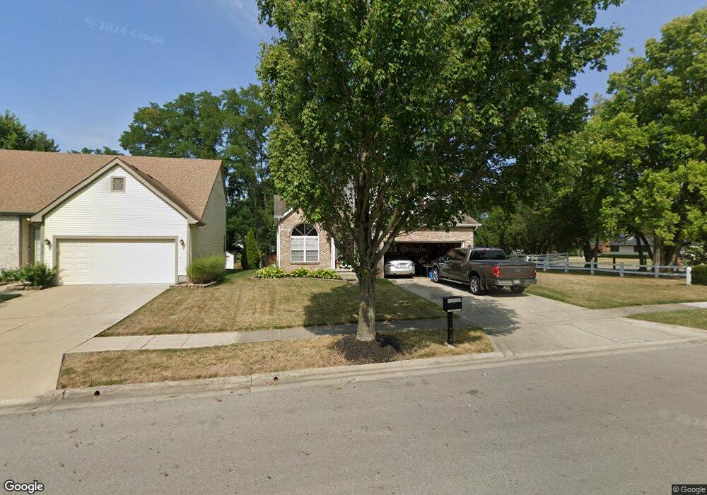
6711 Bethany Dr Westerville, OH 43081
West Albany NeighborhoodEstimated Value: $380,000 - $406,401
3
Beds
3
Baths
1,523
Sq Ft
$260/Sq Ft
Est. Value
About This Home
This home is located at 6711 Bethany Dr, Westerville, OH 43081 and is currently estimated at $395,600, approximately $259 per square foot. 6711 Bethany Dr is a home located in Franklin County with nearby schools including Avalon Elementary School, Northgate Intermediate, and Woodward Park Middle School.
Ownership History
Date
Name
Owned For
Owner Type
Purchase Details
Closed on
Apr 10, 1995
Sold by
Columbus Contractor Co
Bought by
Hennings Robert L and Hennings Sondra L
Current Estimated Value
Home Financials for this Owner
Home Financials are based on the most recent Mortgage that was taken out on this home.
Original Mortgage
$102,500
Interest Rate
6.25%
Mortgage Type
New Conventional
Purchase Details
Closed on
Nov 14, 1994
Sold by
Cardinal Title Holding C
Bought by
Columbus Contractor Co
Create a Home Valuation Report for This Property
The Home Valuation Report is an in-depth analysis detailing your home's value as well as a comparison with similar homes in the area
Home Values in the Area
Average Home Value in this Area
Purchase History
| Date | Buyer | Sale Price | Title Company |
|---|---|---|---|
| Hennings Robert L | $113,995 | -- | |
| Columbus Contractor Co | $21,500 | -- |
Source: Public Records
Mortgage History
| Date | Status | Borrower | Loan Amount |
|---|---|---|---|
| Closed | Hennings Robert L | $102,500 |
Source: Public Records
Tax History Compared to Growth
Tax History
| Year | Tax Paid | Tax Assessment Tax Assessment Total Assessment is a certain percentage of the fair market value that is determined by local assessors to be the total taxable value of land and additions on the property. | Land | Improvement |
|---|---|---|---|---|
| 2024 | $5,335 | $118,870 | $39,380 | $79,490 |
| 2023 | $5,267 | $118,870 | $39,380 | $79,490 |
| 2022 | $4,741 | $91,420 | $33,600 | $57,820 |
| 2021 | $4,750 | $91,420 | $33,600 | $57,820 |
| 2020 | $4,756 | $91,420 | $33,600 | $57,820 |
| 2019 | $4,555 | $75,080 | $28,000 | $47,080 |
| 2018 | $4,025 | $75,080 | $28,000 | $47,080 |
| 2017 | $4,206 | $75,080 | $28,000 | $47,080 |
| 2016 | $3,861 | $58,280 | $14,880 | $43,400 |
| 2015 | $3,505 | $58,280 | $14,880 | $43,400 |
| 2014 | $3,513 | $58,280 | $14,880 | $43,400 |
| 2013 | $1,651 | $55,510 | $14,175 | $41,335 |
Source: Public Records
Map
Nearby Homes
- 6501 Walnut Fork Dr Unit 6501
- 6498 Ash Rock Cir Unit 6498
- 6455 Walnut Fork Dr Unit 6455
- 5656 Apothecary Way Unit 2
- 5604 Apothecary Way Unit 4
- 5600 Apothecary Way
- 6950 Harlem Rd
- 5556 Falco Dr
- 5937 Seffner Dr
- 5981 Niahway St Unit 57
- 5777 Colts Gate Dr Unit 44
- 5730 Colts Gate Dr Unit 43
- 6746 Morningside Heights Place
- 6813 Ridge Rock Dr Unit 14
- 6221 Hudson Reserve Way
- 5478 Albany Terrace Way Unit 1405
- 6423 Azile Way
- 5798 Aristides Way
- 6923 Rothwell St Unit 46923
- 6931 Rothwell St Unit 36931
- 6717 Bethany Dr
- 6721 Bethany Dr
- 6710 Bethany Dr
- 5596 Central College Rd
- 6716 Bethany Dr
- 6727 Bethany Dr
- 5582 Central College Rd
- 5531 Central College Rd
- 6632 Deagle Dr
- 6733 Bethany Dr
- 6728 Bethany Dr
- 5630 Central College Rd
- 6638 Deagle Dr
- 6741 Bethany Dr
- 6734 Bethany Dr
- 6633 Deagle Dr
- 6747 Bethany Dr
- 6646 Deagle Dr
- 5636 Central College Rd
- 6740 Bethany Dr