Estimated Value: $2,660,801 - $3,829,000
3
Beds
7
Baths
10,536
Sq Ft
$316/Sq Ft
Est. Value
About This Home
This home is located at 67115 Harrington Loop Rd, Bend, OR 97701 and is currently estimated at $3,333,934, approximately $316 per square foot. 67115 Harrington Loop Rd is a home located in Deschutes County with nearby schools including Sisters Elementary School, Sisters Middle School, and Sisters High School.
Ownership History
Date
Name
Owned For
Owner Type
Purchase Details
Closed on
Oct 6, 2020
Sold by
Hunt Steven C and Hunt Kris M
Bought by
Hunt Family Trust and Hunt
Current Estimated Value
Purchase Details
Closed on
Jun 22, 2005
Sold by
Goldwynn Max
Bought by
Hunt Steven C and Hunt Kris M
Home Financials for this Owner
Home Financials are based on the most recent Mortgage that was taken out on this home.
Original Mortgage
$281,600
Interest Rate
5.87%
Mortgage Type
Balloon
Purchase Details
Closed on
Jul 1, 2004
Sold by
Goldwynn Max and Herting Pete
Bought by
Goldwynn Max
Create a Home Valuation Report for This Property
The Home Valuation Report is an in-depth analysis detailing your home's value as well as a comparison with similar homes in the area
Purchase History
| Date | Buyer | Sale Price | Title Company |
|---|---|---|---|
| Hunt Family Trust | -- | None Listed On Document | |
| Hunt Steven C | $375,560 | Western Title & Escrow Co | |
| Goldwynn Max | -- | -- |
Source: Public Records
Mortgage History
| Date | Status | Borrower | Loan Amount |
|---|---|---|---|
| Previous Owner | Hunt Steven C | $281,600 |
Source: Public Records
Tax History
| Year | Tax Paid | Tax Assessment Tax Assessment Total Assessment is a certain percentage of the fair market value that is determined by local assessors to be the total taxable value of land and additions on the property. | Land | Improvement |
|---|---|---|---|---|
| 2025 | $15,475 | $1,043,030 | -- | -- |
| 2024 | $14,969 | $1,012,660 | -- | -- |
| 2023 | $14,534 | $983,170 | $0 | $0 |
| 2022 | $13,360 | $926,740 | $0 | $0 |
| 2021 | $12,761 | $899,750 | $0 | $0 |
| 2020 | $12,099 | $899,750 | $0 | $0 |
| 2019 | $11,808 | $873,550 | $0 | $0 |
| 2018 | $11,316 | $834,520 | $0 | $0 |
| 2017 | $10,266 | $761,740 | $0 | $0 |
| 2016 | $9,596 | $702,510 | $0 | $0 |
| 2015 | $8,551 | $648,590 | $0 | $0 |
| 2014 | $7,098 | $557,840 | $0 | $0 |
Source: Public Records
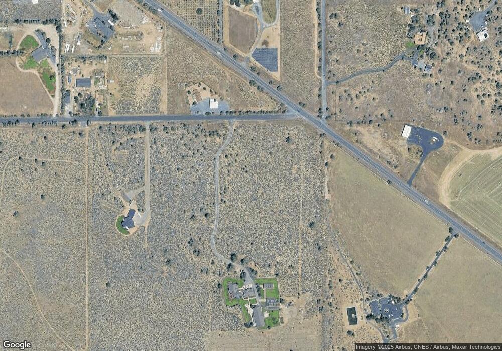
Map
Nearby Homes
- 67070 Paradise Aly
- 67276 Gist Rd
- 67480 Cloverdale Rd
- 67439 U S 20
- 67554 Trout Ln
- 66511 Ponderosa Loop
- 17949 Cascade Estates Dr
- 16816 Ponderosa Cascade Dr
- 18025 Cascade Estates Dr
- 18025 2nd Ave
- 17940 4th Ave
- 67134 Central St
- 17415 Kent Rd
- 18070 Cascade Estates Dr
- 17500 Forked Horn Dr
- 67100 Fryrear Rd
- 64225 Sisemore Rd
- 16400 Jordan Rd
- 67500 Three Creeks Rd
- 68755 Fryrear Rd
- 67135 Harrington Loop Rd Unit 1511310000902
- 17380 Serenity Way
- 67167 Highway 20
- 17330 Serenity Way
- 67141 Harrington Loop Rd
- 67110 Harrington Loop Rd
- 17410 Serenity Way
- 67110 Harrington
- 67180 Highway 20
- 67120 Harrington Loop Rd
- 17328 Star Thistle Ln
- 17340 Star Thistle Ln
- 17400 Star Thistle Ln
- 17460 Serenity Way
- 17360 Star Thistle Ln
- 17450 Star Thistle Ln
- 67050 Gist Rd
- 67210 Highway 20
- 67210 Highway 20
Your Personal Tour Guide
Ask me questions while you tour the home.