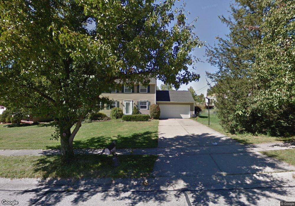
6712 Kentford Ct Cincinnati, OH 45233
Cotillion Village NeighborhoodEstimated Value: $339,000 - $394,000
About This Home
This home is located at 6712 Kentford Ct, Cincinnati, OH 45233 and is currently estimated at $357,177, approximately $139 per square foot. 6712 Kentford Ct is a home located in Hamilton County with nearby schools including John Foster Dulles Elementary School, Rapid Run Middle School, and Oak Hills High School.
Ownership History
We collect this data history from publicly available records. To have your information removed, we recommend requesting removal directly through your county’s website.
Purchase Details
Home Financials for this Owner
Home Financials are based on the most recent Mortgage that was taken out on this home.Purchase Details
Home Financials for this Owner
Home Financials are based on the most recent Mortgage that was taken out on this home.Home Values in the Area
Average Home Value in this Area
Purchase History
We collect this data history from publicly available records. To have your information removed, we recommend requesting removal directly through your county’s website.
| Date | Buyer | Sale Price | Title Company |
|---|---|---|---|
| $175,000 | Vintage Title Agency Inc | ||
| -- | -- |
Mortgage History
We collect this data history from publicly available records. To have your information removed, we recommend requesting removal directly through your county’s website.
| Date | Status | Borrower | Loan Amount |
|---|---|---|---|
| Open | $140,000 | ||
| Previous Owner | $108,800 | ||
| Closed | $17,500 |
Tax History
We collect this data history from publicly available records. To have your information removed, we recommend requesting removal directly through your county’s website.
| Year | Tax Paid | Tax Assessment Tax Assessment Total Assessment is a certain percentage of the fair market value that is determined by local assessors to be the total taxable value of land and additions on the property. | Land | Improvement |
|---|---|---|---|---|
| 2025 | $5,334 | $89,769 | $13,038 | $76,731 |
| 2024 | $5,203 | $89,769 | $13,038 | $76,731 |
| 2023 | $5,219 | $89,769 | $13,038 | $76,731 |
| 2022 | $3,997 | $61,103 | $12,565 | $48,538 |
| 2021 | $3,914 | $61,103 | $12,565 | $48,538 |
| 2020 | $4,268 | $61,103 | $12,565 | $48,538 |
| 2019 | $4,463 | $57,646 | $11,855 | $45,791 |
| 2018 | $4,467 | $57,646 | $11,855 | $45,791 |
| 2017 | $3,764 | $57,646 | $11,855 | $45,791 |
| 2016 | $3,273 | $50,180 | $12,513 | $37,667 |
| 2015 | $3,277 | $50,180 | $12,513 | $37,667 |
| 2014 | $3,281 | $50,180 | $12,513 | $37,667 |
| 2013 | $3,249 | $52,819 | $13,171 | $39,648 |
Map
- 6771 Kentford Ct
- 6546 Mapleton Ave
- 131 Huey Ave
- 6558 Thunderhill Ln
- 6721 Hillside Ave
- 6723 Daniels Walk
- 6380 Timberhill Ct
- 536 Trison Dr
- 6801 Daniels Walk
- 6278 Gardenlake Ct
- 524 Trison Dr
- 6741 Daniels Walk
- 531 Trison Dr
- 6807 Parkland Ave
- 5636 River Rd
- 1259 Wexford Ln
- 1324 Wexford Ln
- 7332 Hillside Ave
- 7027 Gracely Dr
- 1287 Ebenezer Rd
- 6720 Kentford Ct
- 6723 Sandover Dr
- 6729 Sandover Dr
- 6724 Kentford Ct
- 6713 Sandover Dr
- 6709 Kentford Ct
- 6735 Sandover Dr
- 6713 Kentford Ct
- 6728 Kentford Ct
- 6717 Kentford Ct
- 6721 Kentford Ct
- 6726 Sandover Dr
- 6716 Sandover Dr
- 6725 Kentford Ct
- 6734 Kentford Ct
- 6707 Sandover Dr
- 6741 Sandover Dr
- 6708 Sandover Dr
- 6729 Kentford Ct
- 6732 Sandover Dr
Ask me questions while you tour the home.