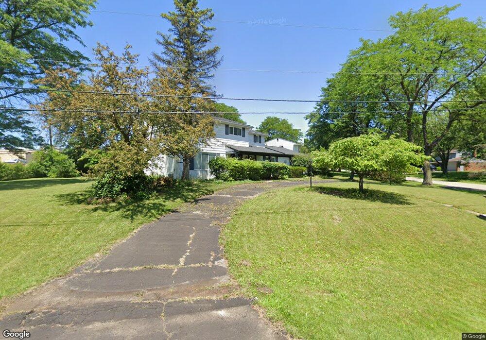
6712 Leslee Crest Dr West Bloomfield, MI 48322
Estimated Value: $402,000 - $475,000
4
Beds
3
Baths
2,224
Sq Ft
$196/Sq Ft
Est. Value
About This Home
This home is located at 6712 Leslee Crest Dr, West Bloomfield, MI 48322 and is currently estimated at $435,620, approximately $195 per square foot. 6712 Leslee Crest Dr is a home located in Oakland County with nearby schools including Sheiko Elementary School, West Bloomfield Middle School, and Bloomfield Maples Montessori.
Ownership History
Date
Name
Owned For
Owner Type
Purchase Details
Closed on
Sep 30, 2010
Sold by
Krinsky Deborah
Bought by
Beimel Ryan Adam and Beimel Katherine Park
Current Estimated Value
Purchase Details
Closed on
Dec 26, 2002
Sold by
Krinsky Joseph
Bought by
Krinsky Deborah
Create a Home Valuation Report for This Property
The Home Valuation Report is an in-depth analysis detailing your home's value as well as a comparison with similar homes in the area
Home Values in the Area
Average Home Value in this Area
Purchase History
| Date | Buyer | Sale Price | Title Company |
|---|---|---|---|
| Beimel Ryan Adam | $164,000 | Multiple | |
| Krinsky Deborah | -- | Flagstar Title Insurance |
Source: Public Records
Tax History Compared to Growth
Tax History
| Year | Tax Paid | Tax Assessment Tax Assessment Total Assessment is a certain percentage of the fair market value that is determined by local assessors to be the total taxable value of land and additions on the property. | Land | Improvement |
|---|---|---|---|---|
| 2024 | $2,470 | $182,050 | $0 | $0 |
| 2022 | $2,365 | $152,830 | $41,540 | $111,290 |
| 2021 | $3,642 | $150,160 | $0 | $0 |
| 2020 | $2,348 | $148,160 | $41,540 | $106,620 |
| 2018 | $3,511 | $125,960 | $31,950 | $94,010 |
| 2015 | -- | $96,820 | $0 | $0 |
| 2014 | -- | $90,230 | $0 | $0 |
| 2011 | -- | $95,020 | $0 | $0 |
Source: Public Records
Map
Nearby Homes
- 6843 Leslee Crest Dr
- 6769 Heather Heath
- 6624 Mellow Wood Ln
- 7027 Beverly Crest Dr
- 4161 Breckenridge Dr
- 6651 Hearthside Ct Unit 1
- 6322 Pepper Hill St Unit 62
- 6222 Pepper Hill St
- 6614 Embers Ct
- 6621 Bellows Ct Unit 62
- 7023 Wild Ridge Ln
- 6151 Orchard Lake Rd Unit 103
- 6145 Orchard Lake Rd Unit 204
- 6109 Orchard Lake Rd Unit 101
- 6564 Alderley Way
- 7335 Coach Ln
- 7421 Heather Heath
- 4392 Gateway Cir Unit 59
- 5946 Cherry Crest Dr
- 7251 N Briarcliff Knoll Dr
- 6724 Leslee Crest Dr
- 6638 Beverly Crest Dr
- 6715 Leslee Crest Dr
- 6656 Lee Crest Dr
- 6736 Leslee Crest Dr
- 6655 Beverly Crest Dr
- 6680 Lee Crest Dr
- 6721 Beverly Crest Dr Unit Bldg-Unit
- 6721 Beverly Crest Dr
- 6731 Leslee Crest Dr
- 6742 Beverly Crest Dr
- 6627 Beverly Crest Dr
- 6781 Leslee Crest Dr
- 6743 Beverly Crest Dr
- 6740 Lee Crest Dr
- 6756 Lee Crest Dr
- 6764 Beverly Crest Dr
- 6768 Lee Crest Dr
- 6655 Lee Crest Dr
- 6760 Leslee Crest Dr