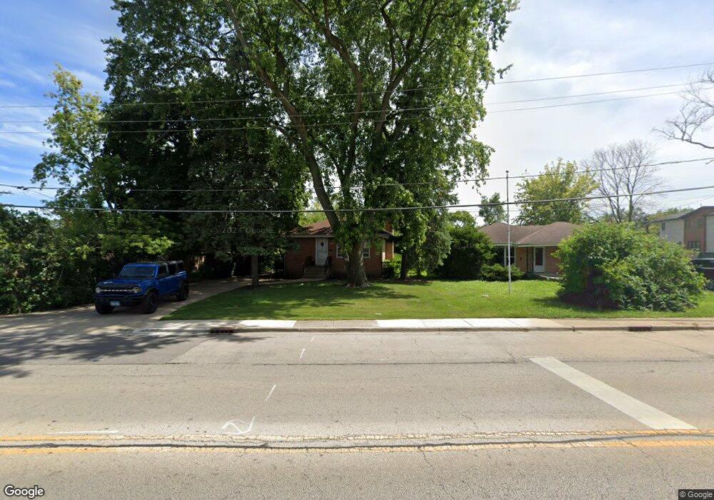
6715 Beckwith Rd Morton Grove, IL 60053
Estimated Value: $396,509 - $530,000
3
Beds
1
Bath
1,053
Sq Ft
$427/Sq Ft
Est. Value
About This Home
This home is located at 6715 Beckwith Rd, Morton Grove, IL 60053 and is currently estimated at $449,377, approximately $426 per square foot. 6715 Beckwith Rd is a home located in Cook County with nearby schools including Hynes Elementary School, Golf Middle School, and Niles North High School.
Ownership History
Date
Name
Owned For
Owner Type
Purchase Details
Closed on
Jul 19, 2013
Sold by
Cahill William E
Bought by
Revocabl Cahill Iii William E and William E Cahill Iiii Revocable Living T
Current Estimated Value
Purchase Details
Closed on
Jul 7, 2004
Sold by
Fritchie Elaine L
Bought by
Cahill William E
Home Financials for this Owner
Home Financials are based on the most recent Mortgage that was taken out on this home.
Original Mortgage
$125,000
Outstanding Balance
$61,840
Interest Rate
6.4%
Mortgage Type
New Conventional
Estimated Equity
$387,537
Create a Home Valuation Report for This Property
The Home Valuation Report is an in-depth analysis detailing your home's value as well as a comparison with similar homes in the area
Home Values in the Area
Average Home Value in this Area
Purchase History
| Date | Buyer | Sale Price | Title Company |
|---|---|---|---|
| Revocabl Cahill Iii William E | -- | None Available | |
| Cahill William E | $325,000 | Multiple |
Source: Public Records
Mortgage History
| Date | Status | Borrower | Loan Amount |
|---|---|---|---|
| Open | Cahill William E | $125,000 | |
| Closed | Cahill William E | $100,000 |
Source: Public Records
Tax History
| Year | Tax Paid | Tax Assessment Tax Assessment Total Assessment is a certain percentage of the fair market value that is determined by local assessors to be the total taxable value of land and additions on the property. | Land | Improvement |
|---|---|---|---|---|
| 2025 | $6,053 | $34,001 | $11,083 | $22,918 |
| 2024 | $6,053 | $25,567 | $9,295 | $16,272 |
| 2023 | $5,756 | $25,567 | $9,295 | $16,272 |
| 2022 | $5,756 | $25,567 | $9,295 | $16,272 |
| 2021 | $6,534 | $25,394 | $5,720 | $19,674 |
| 2020 | $6,483 | $25,394 | $5,720 | $19,674 |
| 2019 | $6,558 | $28,533 | $5,720 | $22,813 |
| 2018 | $5,401 | $22,006 | $5,183 | $16,823 |
| 2017 | $5,439 | $22,006 | $5,183 | $16,823 |
| 2016 | $5,387 | $22,006 | $5,183 | $16,823 |
| 2015 | $5,687 | $21,409 | $4,468 | $16,941 |
| 2014 | $5,594 | $21,409 | $4,468 | $16,941 |
| 2013 | $5,480 | $21,409 | $4,468 | $16,941 |
Source: Public Records
Map
Nearby Homes
- 9424 Normandy Ave
- 6802 Church St
- 9131 Newcastle Ave
- 6901 Church St
- 7030 Foster St
- 8926 Oak Park Ave
- 9113 Belleforte Ave
- 9516 Marion Ave
- 7207 Church St
- 7301 Ponto Dr
- 7303 Ponto Dr
- 7305 Arcadia St Unit 1
- 38 Washington St
- 7315 Arcadia St
- 7002 W Carol Ave
- 8735 Narragansett Ave
- 245 Nora Ave
- 311 Neva Ave
- 8640 Waukegan Rd Unit 123
- 6334 Hennings Ct
- 6725 Beckwith Rd
- 6725 Beckwith Rd
- 6711 Beckwith Rd
- 9244 Lehigh Ave
- 9240 Lehigh Ave
- 6729 Beckwith Rd Unit R
- 6729 Beckwith Rd
- 9236 Lehigh Ave
- 6732 Beckwith Rd
- 6734 Beckwith Rd
- 6704 Maple St
- 6708 Maple St
- 6700 Maple St
- 6716 Maple St
- 6642 Maple St
- 6742 Beckwith Rd
- 6733 Beckwith Rd
- 9250 Normandy Ave
- 6638 Maple St
- 9246 Normandy Ave
Your Personal Tour Guide
Ask me questions while you tour the home.