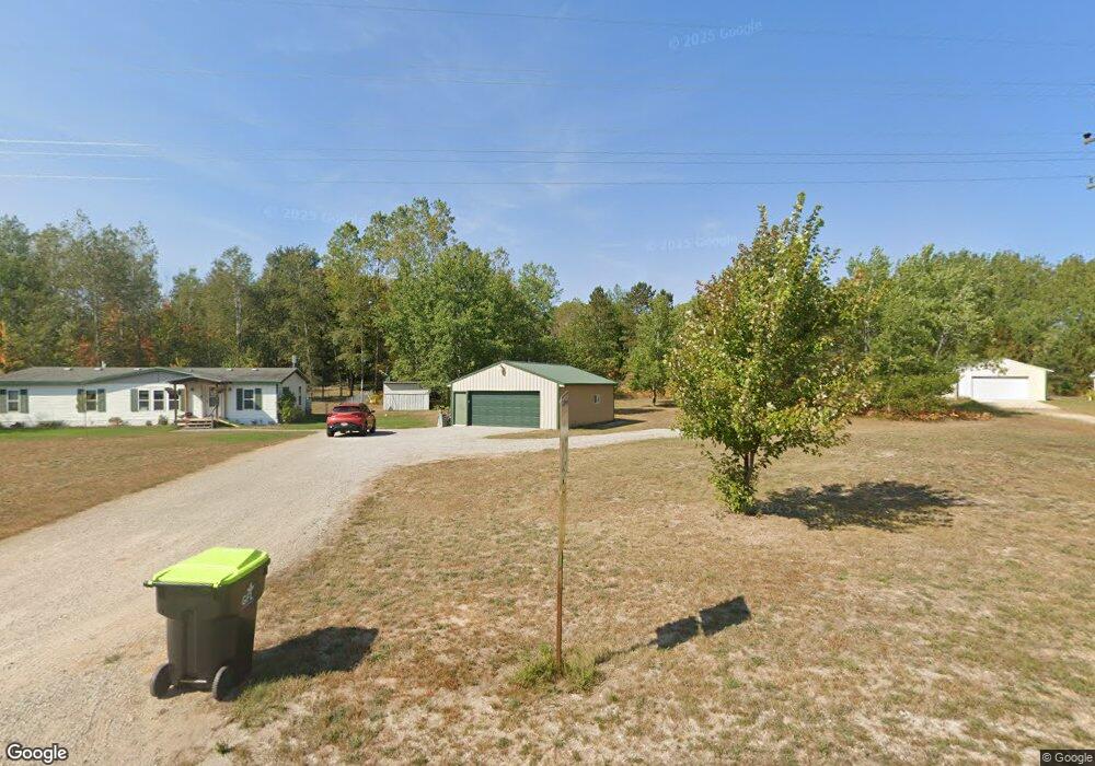
6715 Maple Dr Pellston, MI 49769
Estimated Value: $171,000 - $334,000
3
Beds
2
Baths
1,456
Sq Ft
$181/Sq Ft
Est. Value
About This Home
This home is located at 6715 Maple Dr, Pellston, MI 49769 and is currently estimated at $263,538, approximately $181 per square foot. 6715 Maple Dr is a home located in Emmet County with nearby schools including Pellston Elementary School and Pellston Middle/High School.
Ownership History
Date
Name
Owned For
Owner Type
Purchase Details
Closed on
Mar 10, 2020
Sold by
Weberg Wallace & Suzanne Trust
Bought by
Brown Michael and Paula
Current Estimated Value
Purchase Details
Closed on
Aug 15, 2005
Bought by
Kilpatrick Thomas J and Ford Nikki J
Purchase Details
Closed on
Oct 22, 2002
Sold by
Hahn Louis and Hahn Connie
Bought by
Weburg Wallace C Jr, Trustee
Create a Home Valuation Report for This Property
The Home Valuation Report is an in-depth analysis detailing your home's value as well as a comparison with similar homes in the area
Purchase History
| Date | Buyer | Sale Price | Title Company |
|---|---|---|---|
| Brown Michael | $60,000 | -- | |
| Kilpatrick Thomas J | $86,000 | -- | |
| Weburg Wallace C Jr, Trustee | $13,500 | -- |
Source: Public Records
Tax History
| Year | Tax Paid | Tax Assessment Tax Assessment Total Assessment is a certain percentage of the fair market value that is determined by local assessors to be the total taxable value of land and additions on the property. | Land | Improvement |
|---|---|---|---|---|
| 2025 | $1,241 | $113,500 | $113,500 | $0 |
| 2024 | $1,241 | $91,300 | $91,300 | $0 |
| 2023 | $1,241 | $85,000 | $85,000 | $0 |
| 2020 | -- | $0 | $0 | $0 |
| 2019 | -- | $49,000 | $49,000 | $0 |
| 2018 | -- | $39,800 | $39,800 | $0 |
| 2017 | -- | $40,200 | $40,200 | $0 |
| 2016 | -- | $40,400 | $40,400 | $0 |
| 2015 | -- | $39,700 | $0 | $0 |
| 2014 | -- | $39,400 | $0 | $0 |
Source: Public Records
Map
Nearby Homes
- 000 Vacant U S 31
- 6457 State St
- 6421 Airport Crossing Rd Unit 1
- 8959 Robinson Rd
- 8016 Silver Strand Rd
- TBD Teal Rd
- 4333 U S 31
- 5100 N Bay Way
- 10999 Koepke Rd
- 10222 W Munro Lake Dr
- 1830 Indian Point Rd
- 6167 Lambert Dr
- 6105 U S 31
- 1975 &1995 Club House Dr
- 1975 + 1995 Club House Dr
- 1442 Indian Point Rd
- 3833 Valley Rd
- 7181 Maple St
- 7325 Keystone Park Dr Unit 18
- 7028 Barney Rd
Your Personal Tour Guide
Ask me questions while you tour the home.