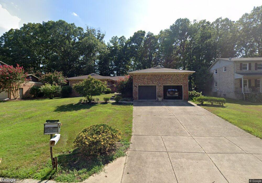
6715 Robinia Rd Temple Hills, MD 20748
Estimated Value: $590,353 - $648,000
4
Beds
4
Baths
2,979
Sq Ft
$209/Sq Ft
Est. Value
About This Home
This home is located at 6715 Robinia Rd, Temple Hills, MD 20748 and is currently estimated at $622,588, approximately $208 per square foot. 6715 Robinia Rd is a home located in Prince George's County with nearby schools including Avalon Elementary School, Thurgood Marshall Middle School, and Crossland High School.
Ownership History
Date
Name
Owned For
Owner Type
Purchase Details
Closed on
Dec 8, 2010
Sold by
Carr Clarence E and Carr Edith S
Bought by
Ford Fred S
Current Estimated Value
Home Financials for this Owner
Home Financials are based on the most recent Mortgage that was taken out on this home.
Original Mortgage
$320,681
Outstanding Balance
$211,365
Interest Rate
4.25%
Mortgage Type
FHA
Estimated Equity
$411,223
Purchase Details
Closed on
Nov 2, 1988
Sold by
Pritchett Paul E
Bought by
Carr Clarence E and Carr Edith S
Create a Home Valuation Report for This Property
The Home Valuation Report is an in-depth analysis detailing your home's value as well as a comparison with similar homes in the area
Home Values in the Area
Average Home Value in this Area
Purchase History
| Date | Buyer | Sale Price | Title Company |
|---|---|---|---|
| Ford Fred S | $325,000 | -- | |
| Carr Clarence E | $240,000 | -- |
Source: Public Records
Mortgage History
| Date | Status | Borrower | Loan Amount |
|---|---|---|---|
| Open | Ford Fred S | $320,681 |
Source: Public Records
Tax History Compared to Growth
Tax History
| Year | Tax Paid | Tax Assessment Tax Assessment Total Assessment is a certain percentage of the fair market value that is determined by local assessors to be the total taxable value of land and additions on the property. | Land | Improvement |
|---|---|---|---|---|
| 2025 | $7,519 | $619,300 | $128,200 | $491,100 |
| 2024 | $7,519 | $571,367 | $0 | $0 |
| 2023 | $7,157 | $523,433 | $0 | $0 |
| 2022 | $6,725 | $475,500 | $103,200 | $372,300 |
| 2021 | $6,444 | $457,133 | $0 | $0 |
| 2020 | $6,317 | $438,767 | $0 | $0 |
| 2019 | $6,154 | $420,400 | $101,600 | $318,800 |
| 2018 | $5,948 | $400,333 | $0 | $0 |
| 2017 | $5,780 | $380,267 | $0 | $0 |
| 2016 | -- | $360,200 | $0 | $0 |
| 2015 | $5,159 | $352,233 | $0 | $0 |
| 2014 | $5,159 | $344,267 | $0 | $0 |
Source: Public Records
Map
Nearby Homes
- 5700 Mansfield Dr
- 6500 Beechwood Dr
- 5509 Windsor Dr
- 0 Allentown Unit MDPG2181264
- 6702 Berkshire Dr
- 6631 Allentown Rd
- 6901 Westchester Dr
- 6807 Allentown Rd
- 5913 Old Branch Ave
- 7300 Roselynn Ln
- 7308 Berkshire Dr
- 6505 Acorn Ct
- 6006 Runnymeade Ave
- 6304 Joyce Dr
- 5011 Brinkley Rd
- 5918 Robin Ln
- 6109 Kirby Rd
- 6810 Ashleys Crossing Ct
- 7100 Murphy Ct
- 5109 Tyburn Ct