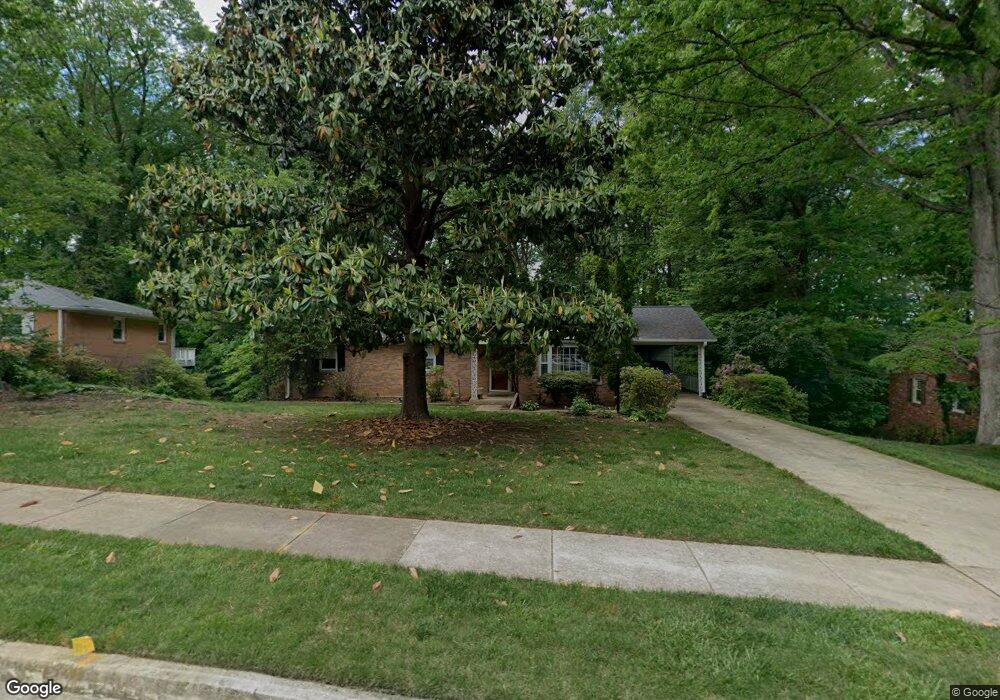
6716 Deland Dr Springfield, VA 22152
Estimated Value: $754,928 - $821,000
4
Beds
3
Baths
1,450
Sq Ft
$546/Sq Ft
Est. Value
About This Home
This home is located at 6716 Deland Dr, Springfield, VA 22152 and is currently estimated at $790,982, approximately $545 per square foot. 6716 Deland Dr is a home located in Fairfax County with nearby schools including West Springfield Elementary School, Irving Middle School, and West Springfield High School.
Ownership History
Date
Name
Owned For
Owner Type
Purchase Details
Closed on
Aug 28, 2024
Sold by
Campbell Tina A
Bought by
Tina A Campbell Living Trust and Campbell
Current Estimated Value
Purchase Details
Closed on
Aug 21, 2018
Sold by
Campbell Tannis C and Campbell Tina A
Bought by
Campbell Tannis C and Campbell Tina A
Purchase Details
Closed on
Jul 9, 2016
Sold by
Campbell Tannis C
Bought by
Campbell Tannis C and Campbell Tina A
Create a Home Valuation Report for This Property
The Home Valuation Report is an in-depth analysis detailing your home's value as well as a comparison with similar homes in the area
Home Values in the Area
Average Home Value in this Area
Purchase History
| Date | Buyer | Sale Price | Title Company |
|---|---|---|---|
| Tina A Campbell Living Trust | -- | None Listed On Document | |
| Campbell Tannis C | -- | None Available | |
| Campbell Tannis C | -- | None Available |
Source: Public Records
Tax History Compared to Growth
Tax History
| Year | Tax Paid | Tax Assessment Tax Assessment Total Assessment is a certain percentage of the fair market value that is determined by local assessors to be the total taxable value of land and additions on the property. | Land | Improvement |
|---|---|---|---|---|
| 2025 | $8,420 | $751,560 | $284,000 | $467,560 |
| 2024 | $8,420 | $726,780 | $284,000 | $442,780 |
| 2023 | $8,097 | $717,460 | $284,000 | $433,460 |
| 2022 | $7,303 | $638,690 | $259,000 | $379,690 |
| 2021 | $6,966 | $593,600 | $229,000 | $364,600 |
| 2020 | $6,706 | $566,590 | $229,000 | $337,590 |
| 2019 | $6,607 | $558,250 | $224,000 | $334,250 |
| 2018 | $5,999 | $521,650 | $224,000 | $297,650 |
| 2017 | $5,893 | $507,600 | $224,000 | $283,600 |
| 2016 | $5,881 | $507,600 | $224,000 | $283,600 |
| 2015 | $5,335 | $478,050 | $224,000 | $254,050 |
| 2014 | $5,048 | $453,390 | $214,000 | $239,390 |
Source: Public Records
Map
Nearby Homes
- 7836 Anson Ct
- 6419 Charnwood St
- 6403 Greeley Blvd
- 6815 Bluecurl Cir
- 6313 Bardu Ave
- 6902 Ontario St
- 7814 Solomon Seal Dr
- 7806 Solomon Seal Dr
- 7779 Tiverton Dr
- 6517 Orono Ct
- 8126 Viola St
- 6800 Wild Rose Ct
- 7714 Shootingstar Dr
- 6500 Rivington Rd
- 7219 Kousa Ln
- 6355 Regal Oak Dr
- 7204 Ming Tree Ct
- 7227 Gentian Ct
- 8200 Old Oaks Dr
- 7716 Lexton Place Unit C