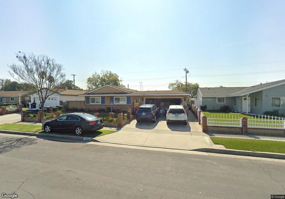
6716 Mount Lowe Dr Buena Park, CA 90620
Estimated Value: $906,145 - $972,000
3
Beds
2
Baths
1,498
Sq Ft
$626/Sq Ft
Est. Value
About This Home
This home is located at 6716 Mount Lowe Dr, Buena Park, CA 90620 and is currently estimated at $937,786, approximately $626 per square foot. 6716 Mount Lowe Dr is a home located in Orange County with nearby schools including Holder Elementary, Orangeview Junior High, and Western High School.
Ownership History
Date
Name
Owned For
Owner Type
Purchase Details
Closed on
Aug 31, 2012
Sold by
Cope Frances E
Bought by
Cope Frances E and Frances E Cope Revocable Trust
Current Estimated Value
Purchase Details
Closed on
Nov 15, 1994
Sold by
Black Richard Harold and Black Janis Virginia
Bought by
Cope Frances E
Home Financials for this Owner
Home Financials are based on the most recent Mortgage that was taken out on this home.
Original Mortgage
$102,500
Interest Rate
9.08%
Create a Home Valuation Report for This Property
The Home Valuation Report is an in-depth analysis detailing your home's value as well as a comparison with similar homes in the area
Home Values in the Area
Average Home Value in this Area
Purchase History
| Date | Buyer | Sale Price | Title Company |
|---|---|---|---|
| Cope Frances E | -- | None Available | |
| Cope Frances E | $182,500 | Continental Lawyers Title Co |
Source: Public Records
Mortgage History
| Date | Status | Borrower | Loan Amount |
|---|---|---|---|
| Closed | Cope Frances E | $102,500 |
Source: Public Records
Tax History
| Year | Tax Paid | Tax Assessment Tax Assessment Total Assessment is a certain percentage of the fair market value that is determined by local assessors to be the total taxable value of land and additions on the property. | Land | Improvement |
|---|---|---|---|---|
| 2025 | $3,662 | $306,532 | $220,451 | $86,081 |
| 2024 | $3,662 | $300,522 | $216,128 | $84,394 |
| 2023 | $3,566 | $294,630 | $211,890 | $82,740 |
| 2022 | $3,492 | $288,853 | $207,735 | $81,118 |
| 2021 | $3,522 | $283,190 | $203,662 | $79,528 |
| 2020 | $3,474 | $280,287 | $201,574 | $78,713 |
| 2019 | $3,381 | $274,792 | $197,622 | $77,170 |
| 2018 | $3,333 | $269,404 | $193,747 | $75,657 |
| 2017 | $3,219 | $264,122 | $189,948 | $74,174 |
| 2016 | $3,204 | $258,944 | $186,224 | $72,720 |
| 2015 | $3,164 | $255,055 | $183,427 | $71,628 |
| 2014 | $3,004 | $250,059 | $179,834 | $70,225 |
Source: Public Records
Map
Nearby Homes
- 6550 Mount Ripley Dr
- 9806 Holder St
- 729 S Knott Ave Unit 231
- 9786 Kathleen Dr
- 630 S Knott Ave Unit 6
- 6344 Orange Ave
- 9302 Via Vista Dr
- 423 S Danbrook Dr
- 9846 Joel Cir
- 6083 Fred Dr
- 3525 W Greentree Cir Unit G
- 3580 W Sweetbay Ct Unit B
- 646 S Courson Dr
- 10447 Claudia Ave
- 9948 Del Rio Way Unit 98
- 26 Bayberry
- 7129 Cerritos Ave Unit 7
- 3208 W Ravenswood Dr
- 47 Citrus Glen
- 3305 W Thornton Ave
- 6704 Mount Lowe Dr
- 6728 Mount Lowe Dr
- 6740 Mount Lowe Dr
- 6692 Mount Lowe Dr
- 6705 Mount Lowe Dr
- 6772 Mount Whitney Dr
- 6752 Mount Lowe Dr
- 6680 Mount Lowe Dr
- 6693 Mount Lowe Dr
- 6766 Mount Whitney Dr
- 6681 Mount Lowe Dr
- 6764 Mount Lowe Dr
- 9725 Mount Barnard Dr
- 6763 Mount Whitney Dr
- 6760 Mount Whitney Dr
- 6675 Mount Shasta Cir
- 9713 Mount Barnard Dr
- 6656 Mount Lowe Dr
- 6757 Mount Whitney Dr
- 6776 Mount Lowe Dr
Your Personal Tour Guide
Ask me questions while you tour the home.