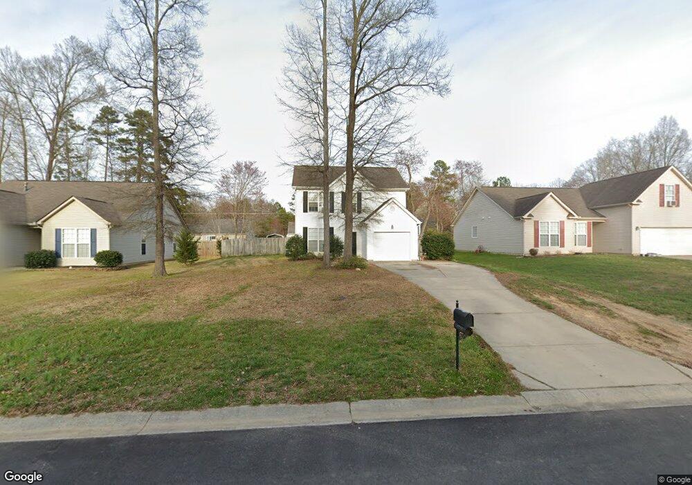
6718 2nd Ave Indian Trail, NC 28079
Estimated Value: $328,000 - $388,000
3
Beds
3
Baths
1,540
Sq Ft
$228/Sq Ft
Est. Value
About This Home
This home is located at 6718 2nd Ave, Indian Trail, NC 28079 and is currently estimated at $350,525, approximately $227 per square foot. 6718 2nd Ave is a home located in Union County with nearby schools including Stallings Elementary School, Porter Ridge Middle School, and Porter Ridge High School.
Ownership History
Date
Name
Owned For
Owner Type
Purchase Details
Closed on
Jan 21, 2014
Sold by
Azzara Barbara M
Bought by
American Residential Leasing Co Llc
Current Estimated Value
Purchase Details
Closed on
Aug 23, 2002
Sold by
Real Carolina Ventures Llc
Bought by
Azzara Barbara M
Home Financials for this Owner
Home Financials are based on the most recent Mortgage that was taken out on this home.
Original Mortgage
$91,600
Interest Rate
6.53%
Purchase Details
Closed on
Sep 6, 2001
Sold by
Pressley Kevin and Pressley Julie
Bought by
Real Carolina Ventures Llc
Home Financials for this Owner
Home Financials are based on the most recent Mortgage that was taken out on this home.
Original Mortgage
$330,000
Interest Rate
7.02%
Purchase Details
Closed on
Oct 13, 2000
Sold by
Currin Barbara F and Currin Steve
Bought by
Pressley Kevin and Dk Pressley Development
Create a Home Valuation Report for This Property
The Home Valuation Report is an in-depth analysis detailing your home's value as well as a comparison with similar homes in the area
Purchase History
| Date | Buyer | Sale Price | Title Company |
|---|---|---|---|
| American Residential Leasing Co Llc | $139,000 | None Available | |
| Azzara Barbara M | $137,000 | -- | |
| Real Carolina Ventures Llc | $336,000 | -- | |
| Pressley Kevin | $42,000 | -- |
Source: Public Records
Mortgage History
| Date | Status | Borrower | Loan Amount |
|---|---|---|---|
| Previous Owner | Azzara Barbara M | $91,600 | |
| Previous Owner | Real Carolina Ventures Llc | $330,000 |
Source: Public Records
Tax History
| Year | Tax Paid | Tax Assessment Tax Assessment Total Assessment is a certain percentage of the fair market value that is determined by local assessors to be the total taxable value of land and additions on the property. | Land | Improvement |
|---|---|---|---|---|
| 2025 | $2,601 | $394,200 | $0 | $0 |
| 2024 | $1,835 | $216,200 | $29,800 | $186,400 |
| 2023 | $1,820 | $216,200 | $29,800 | $186,400 |
| 2022 | $1,820 | $216,200 | $29,800 | $186,400 |
| 2021 | $1,820 | $216,200 | $29,800 | $186,400 |
| 2020 | $1,119 | $143,450 | $22,050 | $121,400 |
| 2019 | $1,437 | $143,450 | $22,050 | $121,400 |
| 2018 | $1,119 | $143,450 | $22,050 | $121,400 |
| 2017 | $1,511 | $143,500 | $22,100 | $121,400 |
| 2016 | $1,170 | $143,450 | $22,050 | $121,400 |
| 2015 | $1,188 | $143,450 | $22,050 | $121,400 |
| 2014 | $973 | $136,210 | $29,820 | $106,390 |
Source: Public Records
Map
Nearby Homes
- 6715 3rd Ave
- 3903 Etheredge St
- 0 Rose Dr Unit CAR4322172
- 0 Rose Dr Unit CAR4322165
- 6600 Conifer Cir
- 6706 Woodlawn Ln
- 1010 Mapletree Ln
- 1069 Mapletree Ln
- 1092 Mapletree Ln
- 1073 Mapletree Ln
- 1085 Mapletree Ln
- 1077 Mapletree Ln
- lot 4, 5 Brown Ln
- 2510 Younts Rd
- 7215 Conifer Cir
- 3508 Mayhurst Dr
- 2023 Harlequin Dr
- 1541 Banham Dr
- 3805 Balsam St Unit 322
- 3805 Balsam St Unit 223
Your Personal Tour Guide
Ask me questions while you tour the home.