6718 Amherst Dr Hoschton, GA 30548
Estimated Value: $569,000 - $633,000
4
Beds
4
Baths
2,258
Sq Ft
$271/Sq Ft
Est. Value
About This Home
This home is located at 6718 Amherst Dr, Hoschton, GA 30548 and is currently estimated at $611,764, approximately $270 per square foot. 6718 Amherst Dr is a home with nearby schools including Spout Springs Elementary School, Cherokee Bluff Middle School, and Cherokee Bluff High School.
Ownership History
Date
Name
Owned For
Owner Type
Purchase Details
Closed on
Oct 28, 2022
Sold by
Lenahan John P
Bought by
Watkins Guy M and Guy M Watkins Rev Tr
Current Estimated Value
Purchase Details
Closed on
Jun 28, 2011
Sold by
Pulte Hm Corp
Bought by
Lenahan John P and Lenahan Helen M
Home Financials for this Owner
Home Financials are based on the most recent Mortgage that was taken out on this home.
Original Mortgage
$241,740
Interest Rate
4.62%
Mortgage Type
New Conventional
Create a Home Valuation Report for This Property
The Home Valuation Report is an in-depth analysis detailing your home's value as well as a comparison with similar homes in the area
Home Values in the Area
Average Home Value in this Area
Purchase History
| Date | Buyer | Sale Price | Title Company |
|---|---|---|---|
| Watkins Guy M | $650,000 | -- | |
| Lenahan John P | $376,800 | -- |
Source: Public Records
Mortgage History
| Date | Status | Borrower | Loan Amount |
|---|---|---|---|
| Previous Owner | Lenahan John P | $241,740 |
Source: Public Records
Tax History Compared to Growth
Tax History
| Year | Tax Paid | Tax Assessment Tax Assessment Total Assessment is a certain percentage of the fair market value that is determined by local assessors to be the total taxable value of land and additions on the property. | Land | Improvement |
|---|---|---|---|---|
| 2024 | $2,110 | $242,920 | $42,640 | $200,280 |
| 2023 | $1,873 | $226,520 | $44,400 | $182,120 |
| 2022 | $1,859 | $194,680 | $34,160 | $160,520 |
| 2021 | $1,995 | $199,160 | $28,440 | $170,720 |
| 2020 | $1,973 | $192,160 | $28,440 | $163,720 |
| 2019 | $1,808 | $170,600 | $30,880 | $139,720 |
| 2018 | $1,858 | $177,640 | $34,760 | $142,880 |
| 2017 | $1,634 | $179,240 | $34,760 | $144,480 |
| 2016 | $1,424 | $159,080 | $30,880 | $128,200 |
| 2015 | $3,716 | $147,880 | $30,880 | $117,000 |
| 2014 | $3,716 | $158,120 | $30,880 | $127,240 |
Source: Public Records
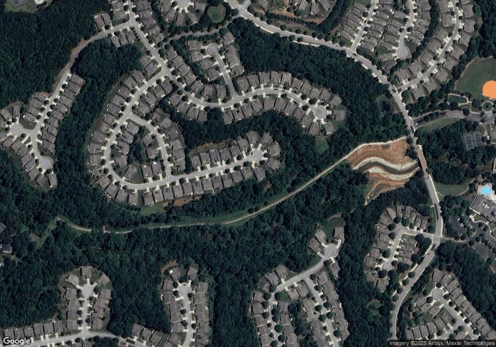
Map
Nearby Homes
- 6707 Amherst Dr
- 6614 Covered Bridge Way
- 6503 Grove Park Dr
- 6443 Autumn Crest Ln
- 6312 Canebridge Ln
- 6146 Brookside Ln Unit 3
- 6416 Hickory Springs Cir Unit 6A
- 6223 Ivy Stone Way
- 6220 Ivy Stone Way
- 6241 Greenstone Cir
- 6484 Lantern Ridge
- 5931 Legend Ct
- 6288 Ivy Stone Way
- 6184 Longleaf Dr
- 6208 Longleaf Dr
- 6260 Brookside Ln
- 6722 Amherst Dr
- 6710 Amherst Dr
- 6726 Amherst Dr
- 6717 Amherst Dr
- 6721 Amherst Dr
- 6706 Amherst Dr Unit 6
- 6713 Amherst Dr
- 6725 Amherst Dr
- 6730 Amherst Dr
- 6729 Amherst Dr
- 6702 Amherst Dr Unit 6
- 6702 Amherst Dr
- 6703 Amherst Dr
- 6698 Amherst Dr
- 6697 Amherst Dr
- 0 Amherst Dr Unit 7529799
- 0 Amherst Dr Unit 7527221
- 0 Amherst Dr Unit 7502344
- 0 Amherst Dr Unit 7402455
- 0 Amherst Dr Unit 7247061