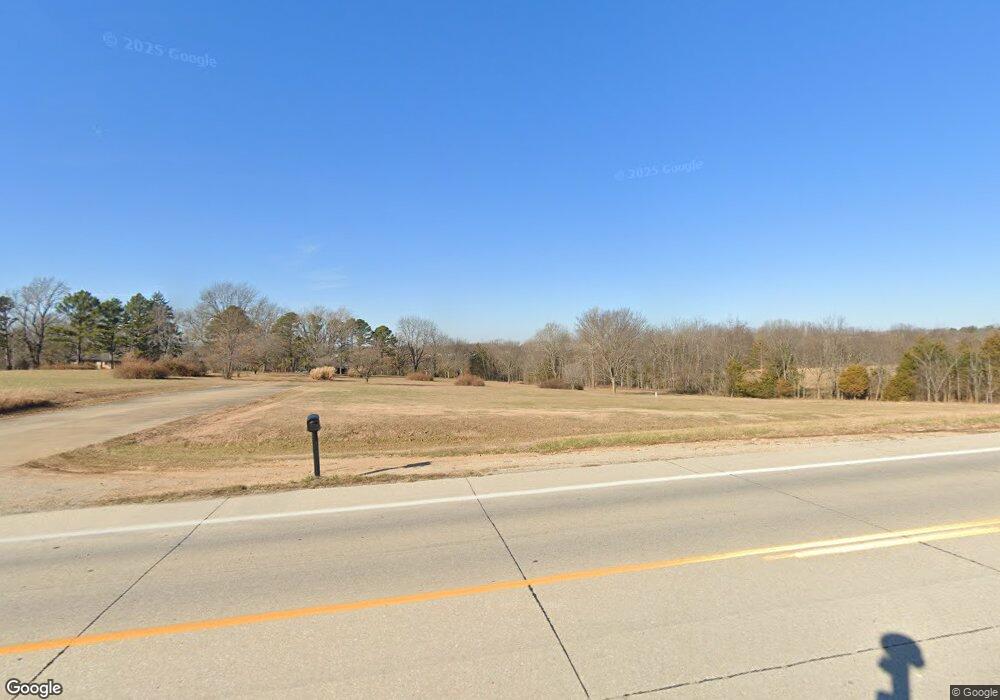
6719 Highway 63 Houston, MO 65483
Estimated Value: $464,294
7
Beds
3
Baths
6,370
Sq Ft
$73/Sq Ft
Est. Value
About This Home
This home is located at 6719 Highway 63, Houston, MO 65483 and is currently estimated at $464,294, approximately $72 per square foot. 6719 Highway 63 is a home located in Texas County with nearby schools including Houston Elementary School, Houston Middle School, and Houston High School.
Ownership History
Date
Name
Owned For
Owner Type
Purchase Details
Closed on
Aug 5, 2025
Sold by
Hutcheson Steven C and Hutcheson Kathleen L
Bought by
Hutcheson Steven Charles and Joint Kathleen
Current Estimated Value
Purchase Details
Closed on
Jul 22, 2025
Sold by
Hutcheson Properties Llc
Bought by
Hutcheson Steven C and Hutcheson Kathleen L
Purchase Details
Closed on
May 17, 2024
Sold by
Huff Stanley and Huff Tonya
Bought by
Sullivan William D and Sullivan Rebecca I
Purchase Details
Closed on
Dec 28, 2010
Sold by
Hutcheson Steven C and Hutecheson Kathleen L
Bought by
Hutcheson Properties Llc
Create a Home Valuation Report for This Property
The Home Valuation Report is an in-depth analysis detailing your home's value as well as a comparison with similar homes in the area
Home Values in the Area
Average Home Value in this Area
Purchase History
| Date | Buyer | Sale Price | Title Company |
|---|---|---|---|
| Hutcheson Steven Charles | -- | None Listed On Document | |
| Hutcheson Steven Charles | -- | None Listed On Document | |
| Hutcheson Steven C | -- | None Listed On Document | |
| Sullivan William D | -- | None Listed On Document | |
| Hutcheson Properties Llc | -- | None Available |
Source: Public Records
Tax History Compared to Growth
Tax History
| Year | Tax Paid | Tax Assessment Tax Assessment Total Assessment is a certain percentage of the fair market value that is determined by local assessors to be the total taxable value of land and additions on the property. | Land | Improvement |
|---|---|---|---|---|
| 2024 | $559 | $10,440 | $0 | $0 |
| 2023 | $559 | $10,440 | $0 | $0 |
| 2022 | $538 | $10,070 | $0 | $0 |
| 2021 | $661 | $10,070 | $0 | $0 |
| 2020 | $661 | $12,500 | $0 | $0 |
| 2019 | $661 | $12,500 | $0 | $0 |
| 2018 | $643 | $12,130 | $0 | $0 |
| 2017 | $643 | $12,130 | $0 | $0 |
| 2016 | $642 | $12,130 | $0 | $0 |
| 2015 | -- | $12,130 | $0 | $0 |
| 2014 | -- | $12,130 | $0 | $0 |
| 2013 | -- | $8,870 | $0 | $0 |
Source: Public Records
Map
Nearby Homes
- 15221 Cleveland Rd
- 503 Primrose Ln
- 987 Cleveland Rd
- 1495 S Sam Houston Blvd
- 1090 N Industrial Dr
- 1325 W Crest Dr
- 7644 Highway 17
- 6097 South St
- 528 Dogwood Ln
- 211 Mill St
- 419 W Highway 17 Terrace
- 1235 W State Route 17
- 1304 W State Route 17
- 901 Augusta St
- 813 Bryan St
- 812 Bryan St
- 916 Sommerfield Dr
- 609 S 1st St
- 206 E Chestnut St
- 6097 Highway 63
- 6719 Highway 63
- 000 S Highway 63
- 6790 Millstone Rd
- 6726 Millstone Rd
- 6610 Highway 63
- 0 S Hwy 63 Unit 22036346
- 1403 Cherokee Cir
- 6902 Millstone Rd
- 6566 Gettys Rd
- 0 Cherokee Cir Unit 18033000
- 0 Cherokee Cir Unit 12018692
- 0 Cherokee Cir Unit 15060753
- 6531 Millstone Rd
- 1405 Cherokee Cir
- 6923 Highway 63
- 1408 Cherokee Dr
- 00 Cherokee Dr
- 000 Cherokee Dr
- 6540 Millstone Rd
- 00 Tbd
