6719 Hursh Rd Fort Wayne, IN 46845
Estimated Value: $497,000 - $1,213,439
4
Beds
3
Baths
2,919
Sq Ft
$293/Sq Ft
Est. Value
About This Home
This home is located at 6719 Hursh Rd, Fort Wayne, IN 46845 and is currently estimated at $855,220, approximately $292 per square foot. 6719 Hursh Rd is a home located in Allen County with nearby schools including Cedarville Elementary School, Leo Elementary School, and Leo Junior/Senior High School.
Ownership History
Date
Name
Owned For
Owner Type
Purchase Details
Closed on
Jun 23, 2015
Sold by
Bloom A Dale
Bought by
The A Dale Bloom & Susan K Bloom Revocab and Bloom Susan K
Current Estimated Value
Purchase Details
Closed on
Jul 31, 2008
Sold by
Bloom Susan K
Bought by
Bloom A Dale and The A Dale & Susan K Bloom Revocable Tr
Purchase Details
Closed on
Sep 4, 2002
Sold by
Cedar Creek Development Inc
Bought by
Bloom A Dale and Bloom Susan K
Create a Home Valuation Report for This Property
The Home Valuation Report is an in-depth analysis detailing your home's value as well as a comparison with similar homes in the area
Home Values in the Area
Average Home Value in this Area
Purchase History
| Date | Buyer | Sale Price | Title Company |
|---|---|---|---|
| The A Dale Bloom & Susan K Bloom Revocab | -- | None Available | |
| Bloom A Dale | -- | None Available | |
| Bloom A Dale | -- | -- |
Source: Public Records
Tax History Compared to Growth
Tax History
| Year | Tax Paid | Tax Assessment Tax Assessment Total Assessment is a certain percentage of the fair market value that is determined by local assessors to be the total taxable value of land and additions on the property. | Land | Improvement |
|---|---|---|---|---|
| 2024 | $7,201 | $899,000 | $191,000 | $708,000 |
| 2023 | $7,201 | $787,600 | $154,800 | $632,800 |
| 2022 | $5,732 | $638,700 | $154,600 | $484,100 |
| 2021 | $5,725 | $595,400 | $154,300 | $441,100 |
| 2020 | $5,694 | $579,900 | $154,200 | $425,700 |
| 2019 | $5,091 | $574,200 | $154,700 | $419,500 |
| 2018 | $4,964 | $545,700 | $134,600 | $411,100 |
| 2017 | $5,107 | $536,000 | $135,000 | $401,000 |
| 2016 | $5,106 | $534,200 | $135,200 | $399,000 |
| 2014 | $4,806 | $509,900 | $135,300 | $374,600 |
| 2013 | $4,521 | $470,500 | $134,900 | $335,600 |
Source: Public Records
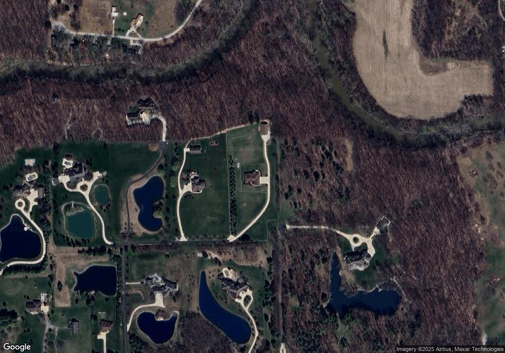
Map
Nearby Homes
- 8025 Hosler Rd
- 6070 Arvada Way
- 6030 Arvada Way
- 6161 Bateleur Ct
- 5797 Rolling Run Ct Unit 17
- 5755 Rolling Run Ct Unit 16
- 12985 Passerine Blvd
- 5693 Rolling Run Ct Unit 15
- TBD Whisper Creek Ct Unit 5
- TBD Whisper Creek Ct Unit 4
- 5631 Rolling Run Ct Unit 14
- 5540 Rolling Run Ct Unit 20
- 5100 Hursh Rd
- 15293 Leo Creek Blvd
- 8578 Virgo Run
- 14315 Flint Creek Crossing
- 5730 Schlatter Rd
- 15188 Leo Creek Blvd
- 5432 Argiano Crossing
- 13307 Dolcetto Cove