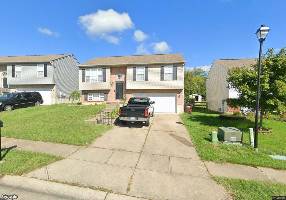
672 Ackerly Dr Independence, KY 41051
Estimated Value: $248,000 - $254,000
3
Beds
2
Baths
976
Sq Ft
$258/Sq Ft
Est. Value
About This Home
This home is located at 672 Ackerly Dr, Independence, KY 41051 and is currently estimated at $252,062, approximately $258 per square foot. 672 Ackerly Dr is a home located in Kenton County with nearby schools including Beechgrove Elementary School, Twenhofel Middle School, and Simon Kenton High School.
Ownership History
Date
Name
Owned For
Owner Type
Purchase Details
Closed on
Jun 4, 2018
Sold by
Rasnake Samuel Eric and Rasnake Leigh Ann
Bought by
Mattingly Nancy Le Ronnie and Mattingly Nancy
Current Estimated Value
Home Financials for this Owner
Home Financials are based on the most recent Mortgage that was taken out on this home.
Original Mortgage
$149,246
Outstanding Balance
$128,253
Interest Rate
4.5%
Mortgage Type
FHA
Estimated Equity
$123,809
Purchase Details
Closed on
Sep 30, 2004
Sold by
Celestial Building Corp
Bought by
Rasnake Samuel Eric and Rasnake Leigh Ann
Home Financials for this Owner
Home Financials are based on the most recent Mortgage that was taken out on this home.
Original Mortgage
$131,327
Interest Rate
5.73%
Mortgage Type
VA
Purchase Details
Closed on
May 14, 2004
Sold by
Glenhurst Development Llc
Bought by
Celestial Building Corp
Create a Home Valuation Report for This Property
The Home Valuation Report is an in-depth analysis detailing your home's value as well as a comparison with similar homes in the area
Home Values in the Area
Average Home Value in this Area
Purchase History
| Date | Buyer | Sale Price | Title Company |
|---|---|---|---|
| Mattingly Nancy Le Ronnie | $152,000 | American Homeland Title | |
| Rasnake Samuel Eric | $128,560 | Kentucky Land Title Agency | |
| Celestial Building Corp | $30,000 | Kentucky Land Title Agency |
Source: Public Records
Mortgage History
| Date | Status | Borrower | Loan Amount |
|---|---|---|---|
| Open | Mattingly Nancy Le Ronnie | $149,246 | |
| Previous Owner | Rasnake Samuel Eric | $131,327 |
Source: Public Records
Tax History
| Year | Tax Paid | Tax Assessment Tax Assessment Total Assessment is a certain percentage of the fair market value that is determined by local assessors to be the total taxable value of land and additions on the property. | Land | Improvement |
|---|---|---|---|---|
| 2025 | $2,497 | $214,700 | $45,000 | $169,700 |
| 2024 | $1,862 | $152,000 | $30,000 | $122,000 |
| 2023 | $1,918 | $152,000 | $30,000 | $122,000 |
| 2022 | $1,982 | $152,000 | $30,000 | $122,000 |
| 2021 | $2,011 | $152,000 | $30,000 | $122,000 |
| 2020 | $2,053 | $152,000 | $25,000 | $127,000 |
| 2019 | $2,058 | $152,000 | $25,000 | $127,000 |
| 2018 | $1,675 | $122,000 | $25,000 | $97,000 |
| 2017 | $1,630 | $122,000 | $25,000 | $97,000 |
| 2015 | $1,529 | $118,000 | $30,000 | $88,000 |
| 2014 | $1,508 | $118,000 | $30,000 | $88,000 |
Source: Public Records
Map
Nearby Homes
- 10720 Hanover Ct
- 635 Badger Ct
- 10725 Kelsey Dr
- 10649 Kelsey Dr
- 800 Berlander Dr
- 10460 Walnut Ridge Rd
- 10716 Blooming Ct
- 794 Stanley Ln
- 10790 Parker
- 10700 Melbury Ct
- 10690 Melbury Ct Unit 305GL
- 10775 Brian Dr
- 10728 Melbury Ct Unit 288GL
- 10732 Melbury Ct Unit 289GL
- 461 Maher Rd
- 10213 Scarlet Oak Dr
- 176 Maher Rd
- 748 Timber Ln
- 10184 Falcon Ridge Dr
- 2018 Woodcrest Dr
Your Personal Tour Guide
Ask me questions while you tour the home.