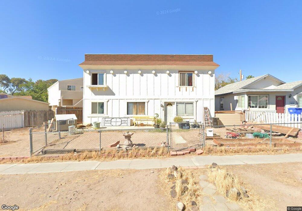
672 Avenue M Boulder City, NV 89005
Estimated Value: $420,909 - $526,000
4
Beds
3
Baths
1,736
Sq Ft
$274/Sq Ft
Est. Value
About This Home
This home is located at 672 Avenue M, Boulder City, NV 89005 and is currently estimated at $475,227, approximately $273 per square foot. 672 Avenue M is a home located in Clark County with nearby schools including Andrew Mitchell Elementary School, Martha P. King Elementary School, and Elton M. & Madelaine E. Garrett Junior High School.
Ownership History
Date
Name
Owned For
Owner Type
Purchase Details
Closed on
Jul 12, 2024
Sold by
Nicks Family Trust and Nicks Charles K
Bought by
Sjn Separate Property Trust and Nicks
Current Estimated Value
Purchase Details
Closed on
Jun 25, 2018
Sold by
Nicks Charles K and Nicks Ruby
Bought by
Nicks Charles K and Nicks Ruby L
Create a Home Valuation Report for This Property
The Home Valuation Report is an in-depth analysis detailing your home's value as well as a comparison with similar homes in the area
Home Values in the Area
Average Home Value in this Area
Purchase History
| Date | Buyer | Sale Price | Title Company |
|---|---|---|---|
| Sjn Separate Property Trust | -- | Security 1St Title | |
| Nicks Charles K | -- | None Available |
Source: Public Records
Tax History Compared to Growth
Tax History
| Year | Tax Paid | Tax Assessment Tax Assessment Total Assessment is a certain percentage of the fair market value that is determined by local assessors to be the total taxable value of land and additions on the property. | Land | Improvement |
|---|---|---|---|---|
| 2025 | $1,254 | $60,069 | $39,200 | $20,869 |
| 2024 | $1,075 | $60,069 | $39,200 | $20,869 |
| 2023 | $1,075 | $48,259 | $29,400 | $18,859 |
| 2022 | $995 | $46,751 | $29,925 | $16,826 |
| 2021 | $922 | $43,083 | $27,405 | $15,678 |
| 2020 | $856 | $41,053 | $25,830 | $15,223 |
| 2019 | $802 | $38,303 | $23,625 | $14,678 |
| 2018 | $765 | $35,299 | $21,613 | $13,686 |
| 2017 | $875 | $33,507 | $19,950 | $13,557 |
| 2016 | $716 | $28,087 | $14,963 | $13,124 |
| 2015 | $714 | $26,878 | $14,175 | $12,703 |
| 2014 | $692 | $27,396 | $14,175 | $13,221 |
Source: Public Records
Map
Nearby Homes
- 517 5th St
- 524 5th St
- 531 New Mexico St
- 557 6th St
- 1104 Endora Way
- 633 5th St
- 617 6th St
- 639 I Ave
- 1095 Endora Way
- 627 Don Vincente Dr
- 1115 Endora Way
- 624 Avenue H
- 511 Northridge Dr
- 620 Avenue H
- Windsor Plan at Heritage Peak
- Somerset Plan at Heritage Peak
- 394 Arizona St
- 632 Paloma Dr
- 639 F
- 1120 Fuente Way