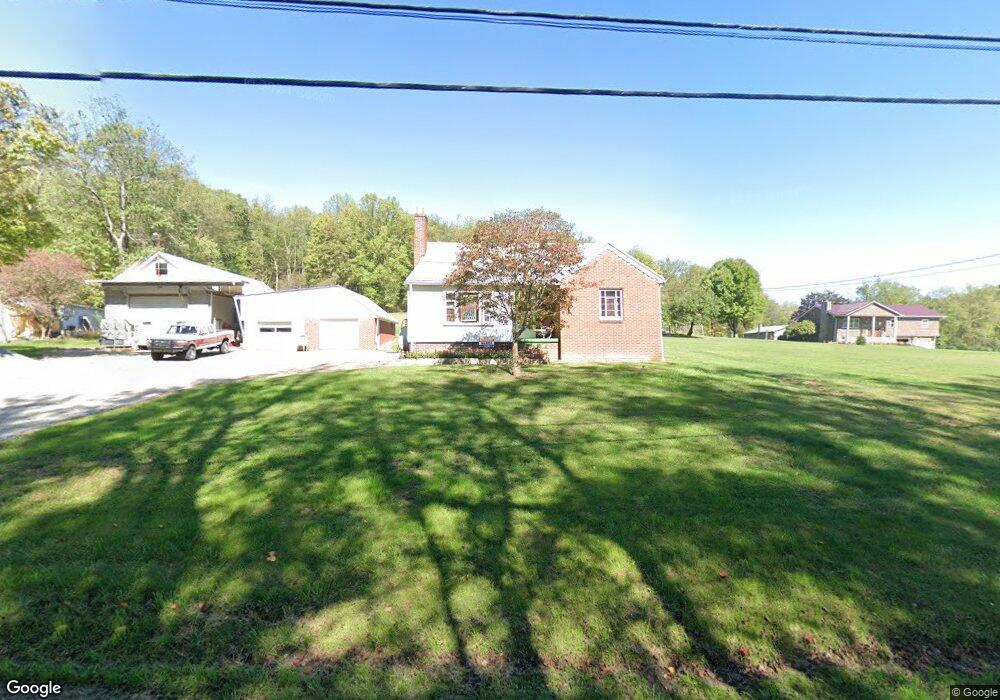
672 Banning Rd Dawson, PA 15428
Estimated Value: $78,000 - $136,163
2
Beds
1
Bath
1,293
Sq Ft
$81/Sq Ft
Est. Value
About This Home
This home is located at 672 Banning Rd, Dawson, PA 15428 and is currently estimated at $104,291, approximately $80 per square foot. 672 Banning Rd is a home located in Fayette County with nearby schools including Frazier High School.
Ownership History
Date
Name
Owned For
Owner Type
Purchase Details
Closed on
Sep 7, 2022
Sold by
House Beatrice B
Bought by
Germock Mark A and Germock Bernadette A
Current Estimated Value
Home Financials for this Owner
Home Financials are based on the most recent Mortgage that was taken out on this home.
Original Mortgage
$86,450
Outstanding Balance
$72,006
Interest Rate
4.58%
Mortgage Type
New Conventional
Estimated Equity
$32,285
Purchase Details
Closed on
Jan 1, 1968
Bought by
House David H
Create a Home Valuation Report for This Property
The Home Valuation Report is an in-depth analysis detailing your home's value as well as a comparison with similar homes in the area
Home Values in the Area
Average Home Value in this Area
Purchase History
| Date | Buyer | Sale Price | Title Company |
|---|---|---|---|
| Germock Mark A | $91,000 | -- | |
| House David H | -- | -- |
Source: Public Records
Mortgage History
| Date | Status | Borrower | Loan Amount |
|---|---|---|---|
| Open | Germock Mark A | $86,450 |
Source: Public Records
Tax History
| Year | Tax Paid | Tax Assessment Tax Assessment Total Assessment is a certain percentage of the fair market value that is determined by local assessors to be the total taxable value of land and additions on the property. | Land | Improvement |
|---|---|---|---|---|
| 2025 | $1,147 | $35,480 | $12,230 | $23,250 |
| 2024 | $1,088 | $35,480 | $12,230 | $23,250 |
| 2023 | $2,090 | $35,480 | $12,230 | $23,250 |
| 2022 | $2,022 | $35,480 | $12,230 | $23,250 |
| 2021 | $2,022 | $35,480 | $12,230 | $23,250 |
| 2020 | $1,971 | $35,480 | $12,230 | $23,250 |
| 2019 | $1,839 | $35,480 | $12,230 | $23,250 |
| 2018 | $1,795 | $35,480 | $12,230 | $23,250 |
| 2017 | $1,740 | $35,480 | $12,230 | $23,250 |
| 2016 | -- | $35,480 | $12,230 | $23,250 |
| 2015 | -- | $35,480 | $12,230 | $23,250 |
| 2014 | -- | $70,960 | $24,460 | $46,500 |
Source: Public Records
Map
Nearby Homes
- 660 Linden Hall Rd
- Tr 660 Linden Hall Lot Unit WP001
- 2050 Mill Rd
- 65 Sandrock Rd
- 325 Laughlin St
- 504 Howell St
- 111 Laughlin St
- 109 Laughlin St
- 199 Water St
- 203 Navy St
- 312 Flatwoods Rd
- 0 E Constitution St
- 304 Liberty St
- 104 King St
- 111 Strickler St
- 201 Delafayette St
- 109 Delafayette St
- 108 Federal St
- 208 Independence St
- 133 Cemetery Rd
- 676 Banning Rd
- 644 Banning Rd
- 639 Banning Rd
- 677 Banning Rd
- 638 Banning Rd
- 233 Porter Rd
- 115 Keffer Rd
- Lr26015 Nr Layton
- RT 819 S. Scottdale Dawson Rd
- 0 Dawson Scottdale Rd Unit 1637349
- 0 Dawson Scottdale Rd Unit 1540448
- 127 Keffer Rd
- 14 Woods Ln
- 721 Banning Rd
- 730 Banning Rd
- 167 Keffer Rd
- 301 Stoneybrook Ln
- 741 Banning Rd
- 28 Woods Ln
- 742 Banning Rd
Your Personal Tour Guide
Ask me questions while you tour the home.