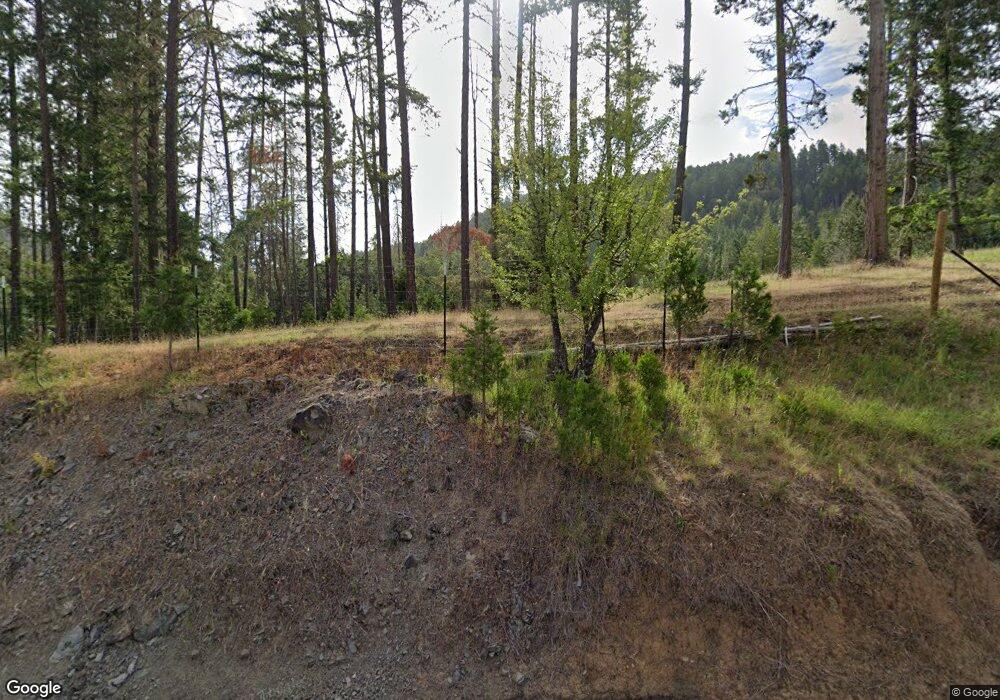
672 Benedict Rd Winston, OR 97496
Estimated Value: $187,000 - $274,000
2
Beds
1
Bath
960
Sq Ft
$235/Sq Ft
Est. Value
About This Home
This home is located at 672 Benedict Rd, Winston, OR 97496 and is currently estimated at $225,188, approximately $234 per square foot. 672 Benedict Rd is a home located in Douglas County with nearby schools including Douglas High School.
Ownership History
Date
Name
Owned For
Owner Type
Purchase Details
Closed on
Feb 18, 2014
Sold by
Gilbert John W
Bought by
Gillette Pamela E
Current Estimated Value
Home Financials for this Owner
Home Financials are based on the most recent Mortgage that was taken out on this home.
Original Mortgage
$97,000
Outstanding Balance
$73,238
Interest Rate
4.47%
Mortgage Type
Seller Take Back
Estimated Equity
$151,950
Purchase Details
Closed on
Dec 29, 2012
Sold by
Gilbert Cynthia Lee and Gilbert John William
Bought by
Gilbert John William
Create a Home Valuation Report for This Property
The Home Valuation Report is an in-depth analysis detailing your home's value as well as a comparison with similar homes in the area
Home Values in the Area
Average Home Value in this Area
Purchase History
| Date | Buyer | Sale Price | Title Company |
|---|---|---|---|
| Gillette Pamela E | $117,000 | Amerititle | |
| Gilbert John William | -- | None Available |
Source: Public Records
Mortgage History
| Date | Status | Borrower | Loan Amount |
|---|---|---|---|
| Open | Gillette Pamela E | $97,000 |
Source: Public Records
Tax History Compared to Growth
Tax History
| Year | Tax Paid | Tax Assessment Tax Assessment Total Assessment is a certain percentage of the fair market value that is determined by local assessors to be the total taxable value of land and additions on the property. | Land | Improvement |
|---|---|---|---|---|
| 2025 | $1,393 | $139,064 | -- | -- |
| 2024 | $1,355 | $135,014 | -- | -- |
| 2023 | $1,318 | $131,082 | $0 | $0 |
| 2022 | $1,278 | $127,265 | $0 | $0 |
| 2021 | $1,245 | $123,559 | $0 | $0 |
| 2020 | $1,209 | $1,177 | $0 | $0 |
| 2019 | $1,098 | $116,467 | $0 | $0 |
| 2018 | $1,070 | $113,075 | $0 | $0 |
| 2017 | $1,045 | $109,782 | $0 | $0 |
| 2016 | $1,018 | $106,585 | $0 | $0 |
| 2015 | $997 | $103,481 | $0 | $0 |
| 2014 | $980 | $100,467 | $0 | $0 |
| 2013 | -- | $97,541 | $0 | $0 |
Source: Public Records
Map
Nearby Homes
- 740 Ireland Rd
- 164 Moon Hill Rd
- 982 Reston Rd
- 505 Sibold Canyon Rd
- 712 Sibold Canyon Rd
- 0 Reston Rd
- 1941 Byron Creek Rd
- 5189 Strickland Canyon Rd
- 800 Byron Creek Rd
- 9740 Upper Olalla Rd
- 17839 Highway 42
- 894 Colwell Hill Ln
- 0 Rice Creek Rd
- 375 Porter Creek Rd
- 411 Woodland Dr
- 151 Marion Meadow Ln
- 19115 Highway 42
- 2414 Brockway Rd
- 0 Willis Creek Rd Unit 23389927
- 9643 Old Highway 99 S
- 642 Benedict Rd
- 632 Benedict Rd
- 838 Benedict Rd
- 646 Benedict Rd
- 922 Benedict Rd
- 315 Degnath Gateway Ln
- 0 Benedict Rd
- 672 Benedict Rd
- 562 Benedict Rd
- 605 Benedict Rd
- 855 Benedict Rd
- 388 Degnath Gateway Ln
- 480 Benedict Rd
- 681 Degnath Gateway Ln
- 10750 Highway 42
- 388 Degnath Gateway Ln
- 960 Benedict Rd
- 382 Benedict Rd
- 1124 Benedict Rd
