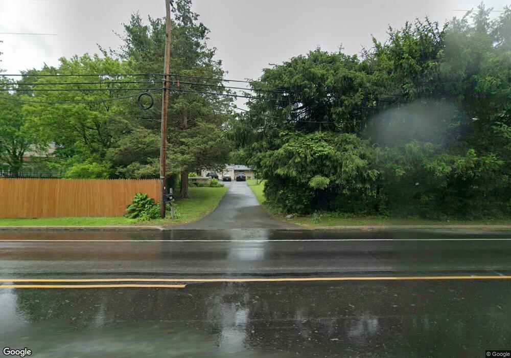
672 Bethlehem Pike Flourtown, PA 19031
Estimated Value: $476,000 - $510,000
3
Beds
2
Baths
1,440
Sq Ft
$339/Sq Ft
Est. Value
About This Home
This home is located at 672 Bethlehem Pike, Flourtown, PA 19031 and is currently estimated at $488,616, approximately $339 per square foot. 672 Bethlehem Pike is a home located in Montgomery County with nearby schools including Whitemarsh El School, Colonial Elementary School, and Colonial Middle School.
Ownership History
Date
Name
Owned For
Owner Type
Purchase Details
Closed on
Mar 31, 1997
Sold by
Decamp Verl Alvin and Decamp Margaret Louise
Bought by
Gerstlauer David J and Gerstlauer Ann Marie
Current Estimated Value
Create a Home Valuation Report for This Property
The Home Valuation Report is an in-depth analysis detailing your home's value as well as a comparison with similar homes in the area
Home Values in the Area
Average Home Value in this Area
Purchase History
| Date | Buyer | Sale Price | Title Company |
|---|---|---|---|
| Gerstlauer David J | $137,000 | T A Title Insurance Company |
Source: Public Records
Tax History
| Year | Tax Paid | Tax Assessment Tax Assessment Total Assessment is a certain percentage of the fair market value that is determined by local assessors to be the total taxable value of land and additions on the property. | Land | Improvement |
|---|---|---|---|---|
| 2025 | $4,487 | $137,760 | $62,500 | $75,260 |
| 2024 | $4,487 | $137,760 | $62,500 | $75,260 |
| 2023 | $4,325 | $137,760 | $62,500 | $75,260 |
| 2022 | $4,225 | $137,760 | $62,500 | $75,260 |
| 2021 | $4,098 | $137,760 | $62,500 | $75,260 |
| 2020 | $3,948 | $137,760 | $62,500 | $75,260 |
| 2019 | $3,830 | $137,760 | $62,500 | $75,260 |
Source: Public Records
Map
Nearby Homes
- 566 S Bethlehem Pike
- 502 E Mill Rd
- 5 Highland Ave Unit 30
- 107 E Mill Rd
- 28 Grove Ave
- 300 Preston Rd
- 522 Pennsylvania Ave
- 405 Pennybrook Ct Unit 3 REDFORD INTERIOR
- 407 Pennybrook Ct Unit 4 REDFORD END
- 401 Pennybrook Ct Unit 1 REDFORD END
- 001 Pennybrook Ct Unit REDFORD INTERIOR
- 421 Pennybrook Ct Unit 5 REDFORD END
- 423 Pennybrook Ct Unit 6 REDFORD INTERIOR
- 403 Pennybrook Ct Unit 2 REDFORD INTERIOR
- 404 Pennybrook Ct Unit 15 REDFORD INTERIOR
- 402 Pennybrook Ct
- 400 Morris Ct
- 238 Plymouth Ave
- 442 Oreland Mill Rd
- 600 Bartram Ct
- 674 Bethlehem Pike
- 6303 Farmar Ln
- 6313 Fairfield Dr
- 6311 Fairfield Dr
- 668 Bethlehem Pike
- 670 Bethlehem Pike
- 6305 Farmar Ln
- 676 Bethlehem Pike
- 6315 Fairfield Dr
- 6307 Farmar Ln
- 664 Bethlehem Pike
- 6317 Fairfield Dr
- 678 Bethlehem Pike
- 6300 Farmar Ln
- 6309 Farmar Ln
- 6302 Farmar Ln
- 6314 Fairfield Dr
- 6312 Fairfield Dr
- 6304 Farmar Ln
- 6316 Fairfield Dr
Your Personal Tour Guide
Ask me questions while you tour the home.