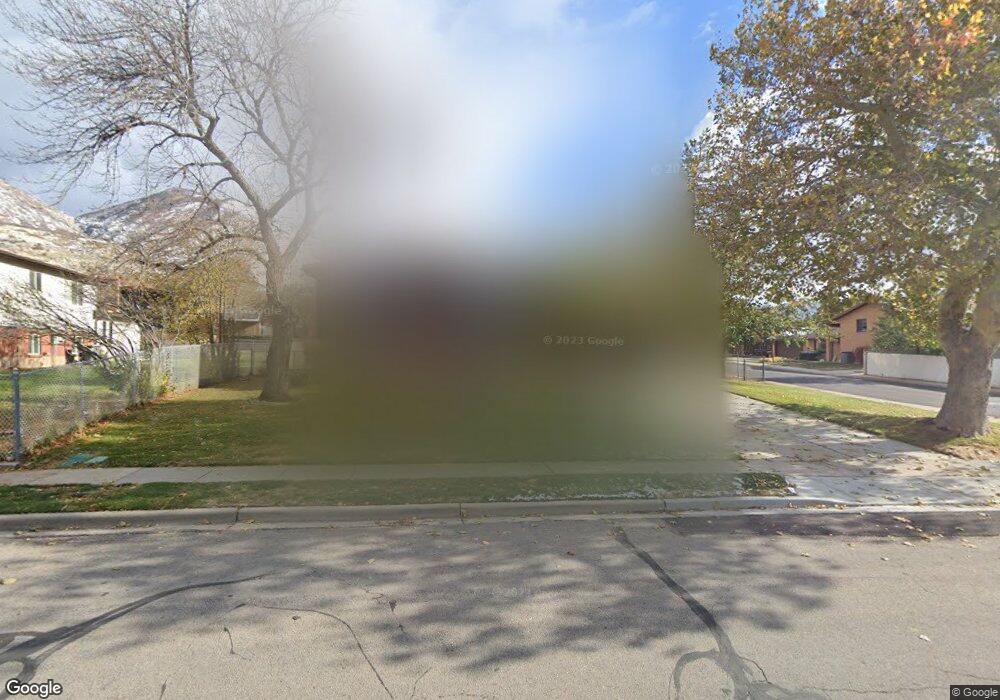
672 Bonita Way Centerville, UT 84014
Estimated Value: $477,000 - $535,000
4
Beds
2
Baths
1,112
Sq Ft
$457/Sq Ft
Est. Value
About This Home
This home is located at 672 Bonita Way, Centerville, UT 84014 and is currently estimated at $507,877, approximately $456 per square foot. 672 Bonita Way is a home located in Davis County with nearby schools including Centerville Elementary, Centerville Jr High, and Viewmont High School.
Ownership History
Date
Name
Owned For
Owner Type
Purchase Details
Closed on
Mar 25, 2025
Sold by
Huffaker Family Trust and Huffaker Todd B
Bought by
Bonita Llc
Current Estimated Value
Purchase Details
Closed on
Oct 9, 2024
Sold by
Joan B Anderson Family Trust and Anderson Joan Bailey
Bought by
Huffaker Family Trust and Huffaker
Purchase Details
Closed on
Feb 25, 2019
Sold by
Anderson Joan B
Bought by
Anderson Joan Bailey and Joan B Anderson Family Trust
Purchase Details
Closed on
Nov 10, 2000
Sold by
Anderson Kenneth Allen and Anderson Kenneth A
Bought by
Anderson Joann B
Create a Home Valuation Report for This Property
The Home Valuation Report is an in-depth analysis detailing your home's value as well as a comparison with similar homes in the area
Purchase History
| Date | Buyer | Sale Price | Title Company |
|---|---|---|---|
| Bonita Llc | -- | None Listed On Document | |
| Huffaker Family Trust | -- | First American Title Insurance | |
| Anderson Joan Bailey | -- | None Available | |
| Anderson Joann B | -- | -- |
Source: Public Records
Tax History
| Year | Tax Paid | Tax Assessment Tax Assessment Total Assessment is a certain percentage of the fair market value that is determined by local assessors to be the total taxable value of land and additions on the property. | Land | Improvement |
|---|---|---|---|---|
| 2025 | $2,628 | $251,350 | $153,970 | $97,380 |
| 2024 | $0 | $256,300 | $138,103 | $118,197 |
| 2023 | $2,429 | $427,000 | $226,913 | $200,087 |
| 2022 | $2,557 | $247,500 | $114,501 | $132,999 |
| 2021 | $2,288 | $345,000 | $174,275 | $170,725 |
| 2020 | $1,977 | $298,000 | $170,489 | $127,511 |
| 2019 | $1,990 | $293,000 | $171,820 | $121,180 |
| 2018 | $1,849 | $269,000 | $159,485 | $109,515 |
| 2016 | $1,567 | $126,665 | $52,951 | $73,714 |
| 2015 | $1,543 | $117,700 | $52,951 | $64,749 |
| 2014 | $1,375 | $107,290 | $52,951 | $54,339 |
| 2013 | -- | $106,125 | $41,993 | $64,132 |
Source: Public Records
Map
Nearby Homes
- 610 N Main St
- 243 Balsam Dr
- 66 Brookside Ln
- 775 Pheasantbrook Cir
- 165 W Pheasantbrook Dr
- 281 W 650 N Unit B
- 282 W 605 N Unit A
- 282 W 605 N Unit I
- 781 Pheasantbrook Dr
- 984 N 500 E
- 1167 Deerfield Dr
- 252 N 400 E
- 271 Brookfield Ln
- 185 N 50 W
- 132 W 200 N
- 83 W 200 N
- 257 W 1125 N
- 507 W 620 N
- 527 W 620 N Unit 133
- 371 W 1125 N
Your Personal Tour Guide
Ask me questions while you tour the home.